MyTopo
Sanostee East New Mexico US Topo Map
Couldn't load pickup availability
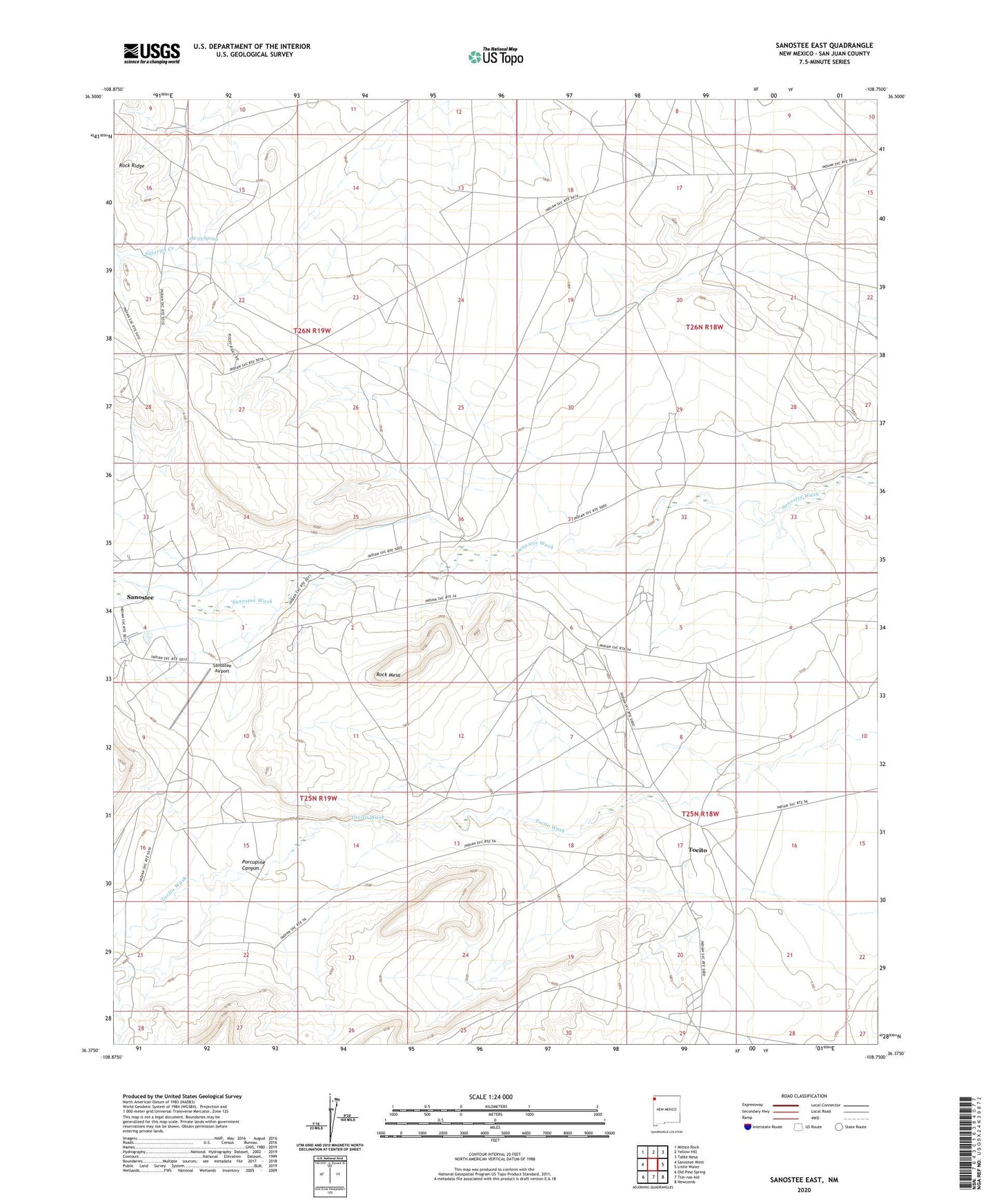
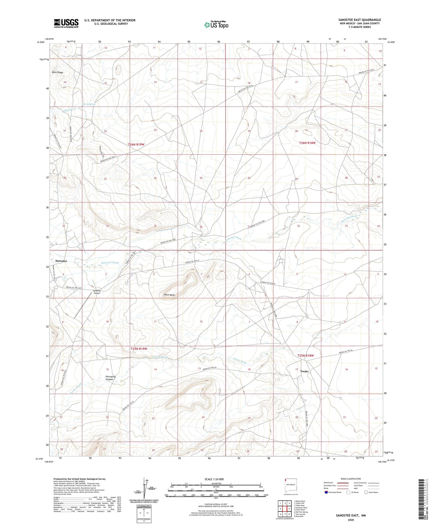
2020 topographic map quadrangle Sanostee East in the state of New Mexico. Scale: 1:24000. Based on the newly updated USGS 7.5' US Topo map series, this map is in the following counties: San Juan. The map contains contour data, water features, and other items you are used to seeing on USGS maps, but also has updated roads and other features. This is the next generation of topographic maps. Printed on high-quality waterproof paper with UV fade-resistant inks.
Quads adjacent to this one:
West: Sanostee West
Northwest: Mitten Rock
North: Yellow Hill
Northeast: Table Mesa
East: Little Water
Southeast: Newcomb
South: Tsin-nas-kid
Southwest: Old Pine Spring
Contains the following named places: 12M-39 Spring, 12T-338 Water Well, 12T-519 Water Well, 12T-534A Water Well, 12T-635 Water Well, 12T-647 Water Well, 12T-649 Water Well, 12T-651 Water Well, NM000023 Water Well, PM-1 Water Well, Porcupine Canyon, Rock Mesa, Sanostee, Sanostee Airport, Sanostee Census Designated Place, Sanostee Chapter, Sanostee Trading Post, Tocito, Tocito Dome Oil Field, Tocito Trading Post, Tse-clani-to Wash