MyTopo
Tanner Lake New Mexico US Topo Map
Couldn't load pickup availability
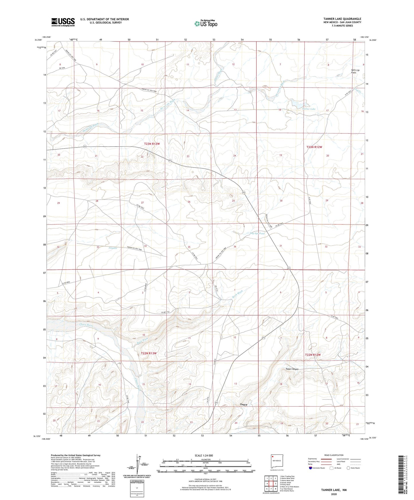
2020 topographic map quadrangle Tanner Lake in the state of New Mexico. Scale: 1:24000. Based on the newly updated USGS 7.5' US Topo map series, this map is in the following counties: San Juan. The map contains contour data, water features, and other items you are used to seeing on USGS maps, but also has updated roads and other features. This is the next generation of topographic maps. Printed on high-quality waterproof paper with UV fade-resistant inks.
Quads adjacent to this one:
West: Hunter Wash
Northwest: Bisti Trading Post
North: Alamo Mesa West
Northeast: Alamo Mesa East
East: Pretty Rock
Southeast: Kin Klizhin Ruins
South: La Vida Mission
Southwest: West of La Vida Mission
Contains the following named places: 15B-24 Water Well, 19R-326 Water Well, 19T-507 Water Well, Alamo Wash, Chaco Wash Pit, Coal Creek, Delnazini, DH-3 Water Well, DH-5 Water Well, DH-7 Water Well, Dog Eye Pond, Rock Wash, Tanner Lake, TL-7-2 Water Well, TL-8-1 Water Well, Tsaya, Tsaya Canyon, Tsaya Post Office