MyTopo
Tower Hill North New Mexico US Topo Map
Couldn't load pickup availability
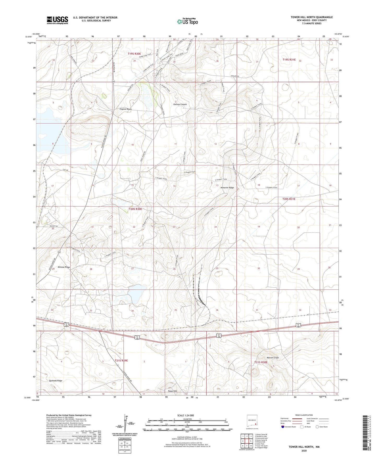
2020 topographic map quadrangle Tower Hill North in the state of New Mexico. Scale: 1:24000. Based on the newly updated USGS 7.5' US Topo map series, this map is in the following counties: Eddy. The map contains contour data, water features, and other items you are used to seeing on USGS maps, but also has updated roads and other features. This is the next generation of topographic maps. Printed on high-quality waterproof paper with UV fade-resistant inks.
Quads adjacent to this one:
West: Illinois Camp SE
Northwest: Illinois Camp NE
North: Hackberry Lake
Northeast: Greenwood Lake
East: Williams Sink
Southeast: Livingston Ridge
South: Tower Hill South
Southwest: Indian Flats
Contains the following named places: Clayton Basin, Clayton Wells, Duval Corporation North Mine, Duval Corporation Saunders Mine, Gatuna Canyon, Lusk Ranch, Mimosa Ridge, PCA Loading Mine, PCA Mine, PCA Plant Mine, Potash Company of America, Potash Company of America Mine, Tower Hill, Wood Ranch