MyTopo
Tower Hill South New Mexico US Topo Map
Couldn't load pickup availability
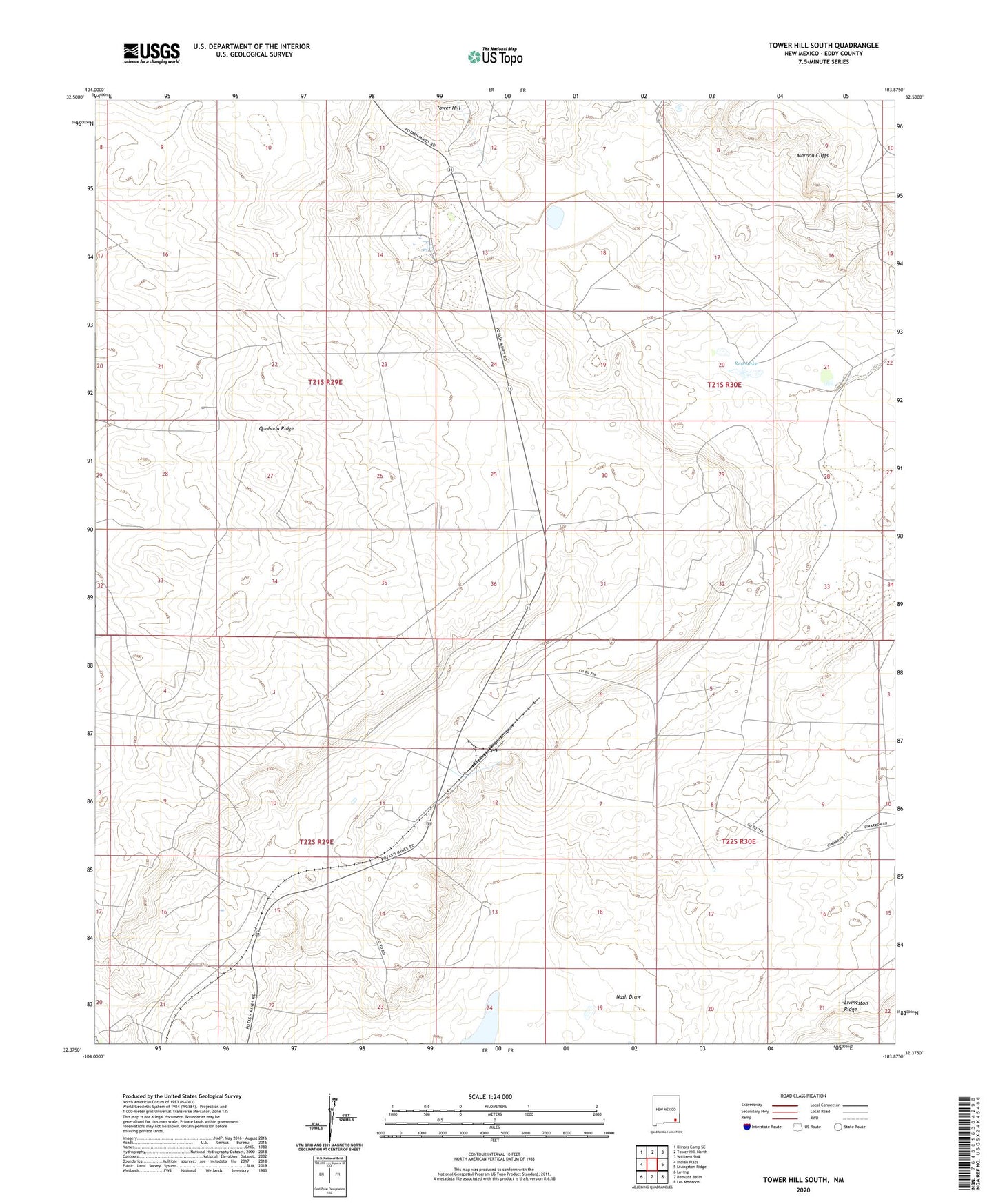
2020 topographic map quadrangle Tower Hill South in the state of New Mexico. Scale: 1:24000. Based on the newly updated USGS 7.5' US Topo map series, this map is in the following counties: Eddy. The map contains contour data, water features, and other items you are used to seeing on USGS maps, but also has updated roads and other features. This is the next generation of topographic maps. Printed on high-quality waterproof paper with UV fade-resistant inks.
Quads adjacent to this one:
West: Indian Flats
Northwest: Illinois Camp SE
North: Tower Hill North
Northeast: Williams Sink
East: Livingston Ridge
Southeast: Los Medanos
South: Remuda Basin
Southwest: Loving
Contains the following named places: Crawford Ranch, IMCC Mine, IMCC Plant, International Mineral, International Minerals and Chemical, Maroon Cliffs, Missisippi Chemical Mine, Mississippi Chemical Corporation Potash Mine, Mississippi Chemical Mine, Nash Draw, Red Lake, Salt Lake Mine, Salt Supply Company, Tut Wells