MyTopo
Walking Cane Ranch New Mexico US Topo Map
Couldn't load pickup availability
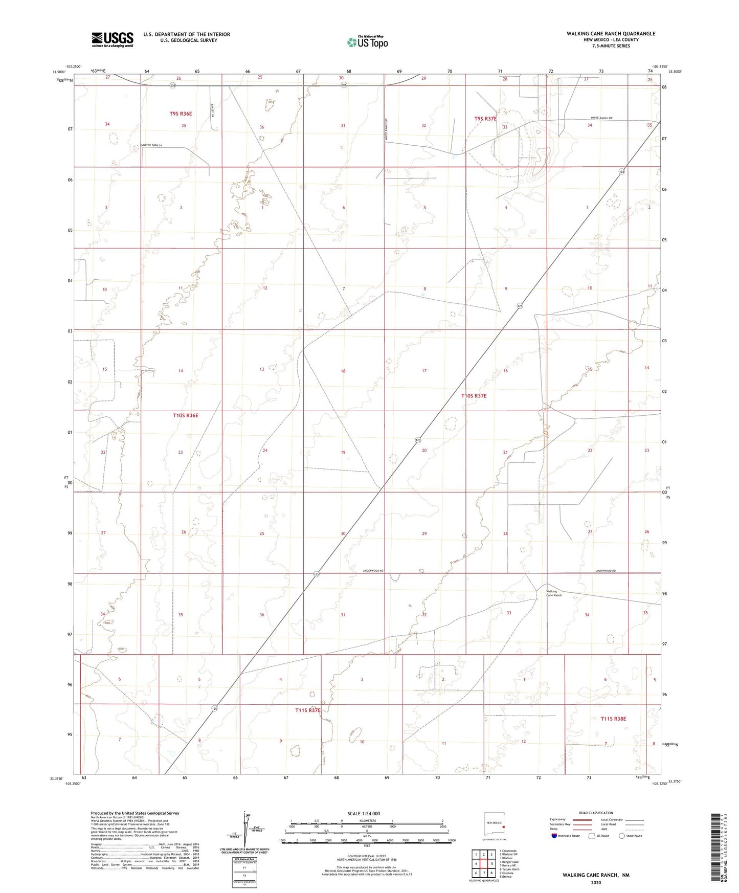
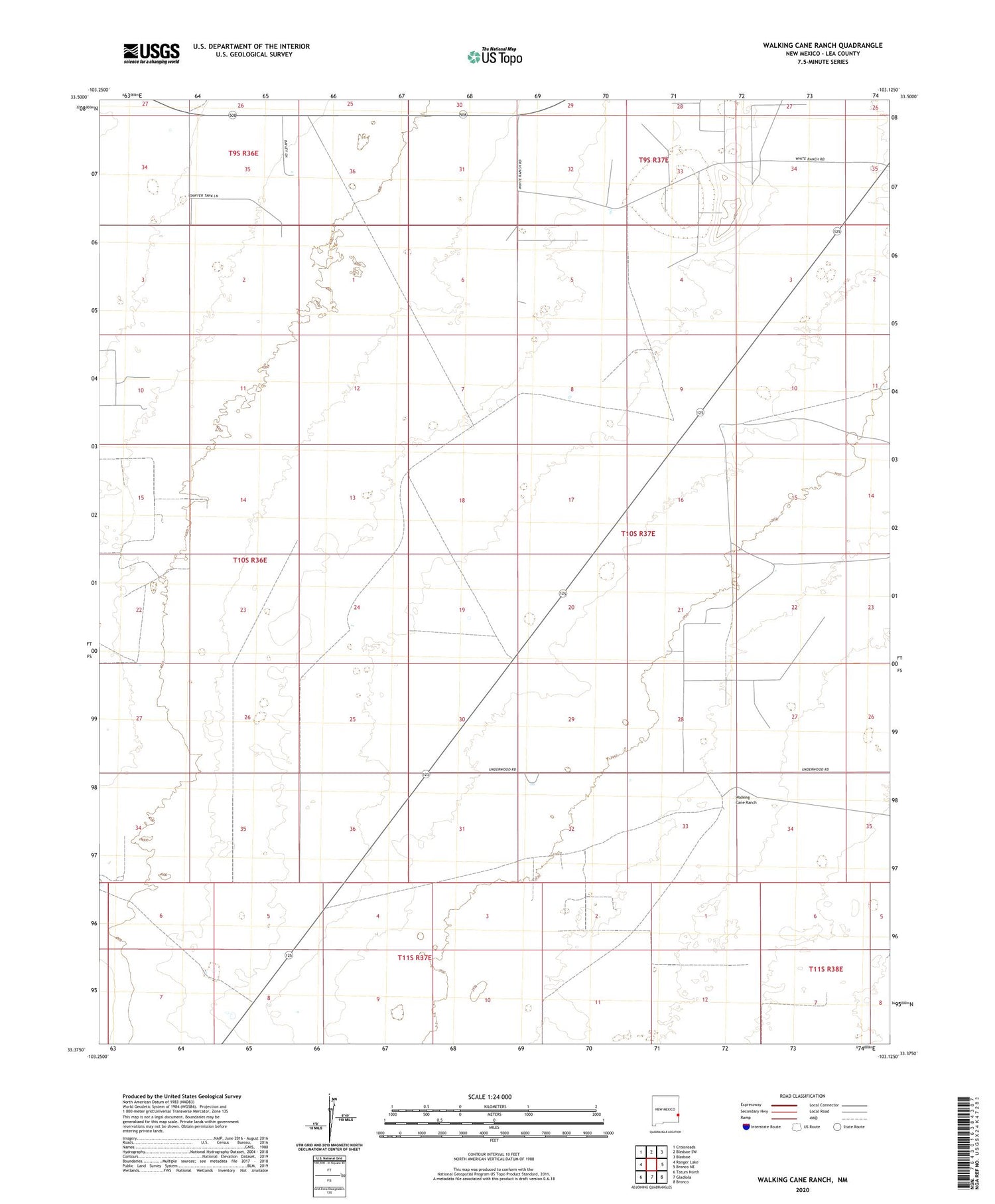
2020 topographic map quadrangle Walking Cane Ranch in the state of New Mexico. Scale: 1:24000. Based on the newly updated USGS 7.5' US Topo map series, this map is in the following counties: Lea. The map contains contour data, water features, and other items you are used to seeing on USGS maps, but also has updated roads and other features. This is the next generation of topographic maps. Printed on high-quality waterproof paper with UV fade-resistant inks.
Quads adjacent to this one:
West: Ranger Lake
Northwest: Crossroads
North: Bledsoe SW
East: Bronco NE
South: Gladiola
Southwest: Tatum North
Contains the following named places: 05020 Water Well, 05021 Water Well, 12555 Water Well, 12556 Water Well, 12561 Water Well, 12610 Water Well, 12611 Water Well, 12614 Water Well, 12615 Water Well, 12616 Water Well, 12618 Water Well, 12619 Water Well, 12620 Water Well, 12621 Water Well, 12806 Water Well, 12807 Water Well, 12835 Water Well, 12870 Water Well, 12871 Water Well, 12874 Water Well, 12876 Water Well, 12877 Water Well, 13178 Water Well, 13398 Water Well, Antelope Windmill, Lambert Windmill, Louis, New Windmill, North Windmill, Northwest Windmill, Southwest Windmill, Walking Cane Ranch, West Windmill