MyTopo
Bronco NE New Mexico US Topo Map
Couldn't load pickup availability
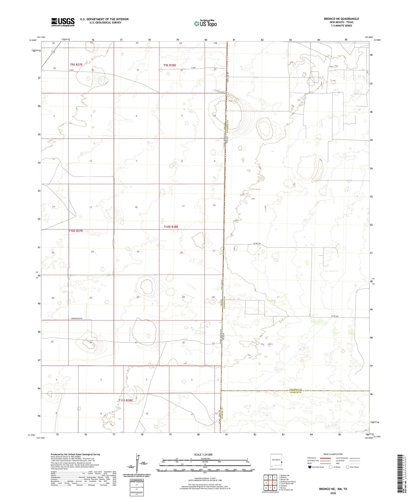
2023 topographic map quadrangle Bronco NE in the states of New Mexico, Texas. Scale: 1:24000. Based on the newly updated USGS 7.5' US Topo map series, this map is in the following counties: Lea, Cochran, Yoakum. The map contains contour data, water features, and other items you are used to seeing on USGS maps, but also has updated roads and other features. This is the next generation of topographic maps. Printed on high-quality waterproof paper with UV fade-resistant inks.
Quads adjacent to this one:
West: Walking Cane Ranch
Northwest: Bledsoe SW
Northeast: Morton SW
East: Two B Ranch NW
Southeast: Two B Ranch SW
Southwest: Gladiola
Contains the following named places: 05016 Water Well, 12562 Water Well, 12566 Water Well, 12617 Water Well, 12622 Water Well, 12623 Water Well, 12624 Water Well, 12625 Water Well, 12626 Water Well, 12627 Water Well, 12628 Water Well, 12629 Water Well, 12635 Water Well, 12875 Water Well, 12878 Water Well, 12879 Water Well, 13179 Water Well, 13180 Water Well, 13181 Water Well, 13182 Water Well, 13183 Water Well, 13184 Water Well, 13185 Water Well, 13186 Water Well, 13187 Water Well, 13378 Water Well, Davis Windmill, East Windmill, Electric Windmill, Gilliam Ranch, Goat Windmill, Grice Windmill, Hoffmann Helicopters Heliport, Middle Windmill, North Beall Windmill, North Goat Windmill, North Windmill, Pardnership Windmill, Prairie Chicken Windmill, Sand Windmill, South House Windmill, South Lease Windmill, South Pasture Windmill, South Windmill, Standefer Ranch, Walker Oil Field, Walker Windmill, West Goat Windmill, West Windmill