MyTopo
White Sands NE New Mexico US Topo Map
Couldn't load pickup availability
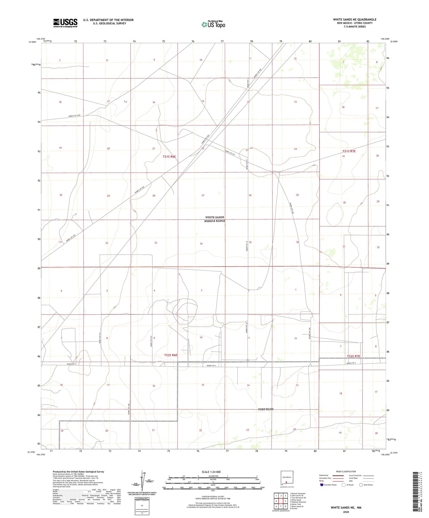
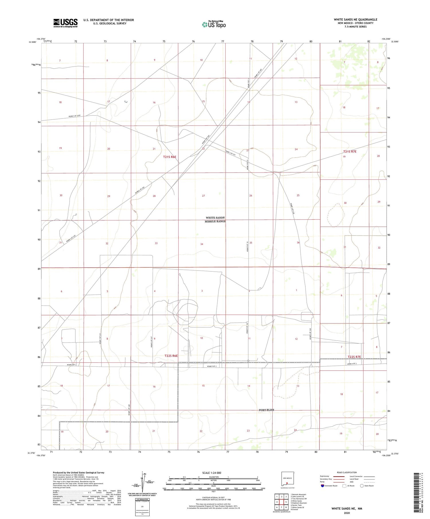
2020 topographic map quadrangle White Sands NE in the state of New Mexico. Scale: 1:24000. Based on the newly updated USGS 7.5' US Topo map series, this map is in the following counties: Otero. The map contains contour data, water features, and other items you are used to seeing on USGS maps, but also has updated roads and other features. This is the next generation of topographic maps. Printed on high-quality waterproof paper with UV fade-resistant inks.
Quads adjacent to this one:
West: White Sands
Northwest: Bennett Mountain
North: Lake Lucero SE
Northeast: Tres Hermanos SW
East: Elephant Mountain
Southeast: Elwood
South: White Sands SE
Southwest: Davies Tank
Contains the following named places: Hackberry Well, Weather Station