MyTopo
White Sands New Mexico US Topo Map
Couldn't load pickup availability
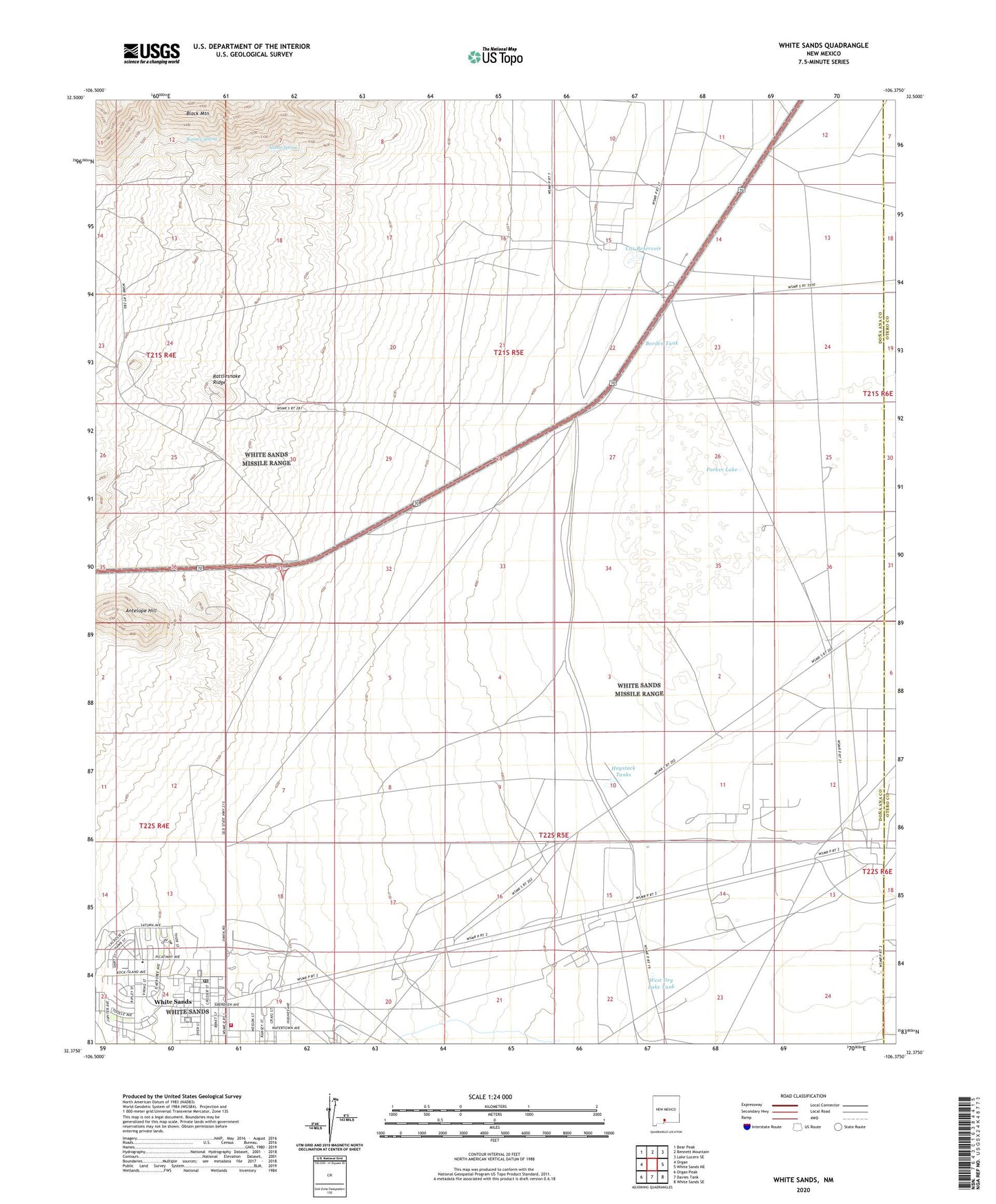
2023 topographic map quadrangle White Sands in the state of New Mexico. Scale: 1:24000. Based on the newly updated USGS 7.5' US Topo map series, this map is in the following counties: Doña Ana, Otero. The map contains contour data, water features, and other items you are used to seeing on USGS maps, but also has updated roads and other features. This is the next generation of topographic maps. Printed on high-quality waterproof paper with UV fade-resistant inks.
Quads adjacent to this one:
West: Organ
Northwest: Bear Peak
North: Bennett Mountain
Northeast: Lake Lucero SE
East: White Sands NE
Southeast: White Sands SE
South: Davies Tank
Southwest: Organ Peak
This map covers the same area as the classic USGS quad with code o32106d4.
Contains the following named places: Alamo Spring, Antelope Hill, Bighorn Prospect, Bonney Spring, Bonney Spring Mine, Borden Tank, Cox Reservoir, Drift Fence Well, Gate WL 2 Water Well, Green Girl Prospect, Hal Ranch, Haystack Tanks, Hood Tank, Old Bennett Tank, OS-10 Water Well, OS-14 Water Well, Parker Lake, Parker Station, Parker Well, Rattlesnake Ridge, Sally Mine, Santa Cruz Prospect, SMR-1 Water Well, SMR-4 Water Well, SMR-5 Water Well, Stonewall Jackson Group Mine, Sunol, Sunshine, SW-10A Water Well, SW-11 Water Well, SW-13 Water Well, SW-15 Water Well, SW-16 Water Well, SW-17 Water Well, SW-19 Water Well, SW-20 Water Well, SW-21 Water Well, SW-22 Water Well, T-1 Water Well, T-10 Water Well, T-13 Water Well, T-14 Water Well, T-4 Water Well, T-5 Water Well, T-7 Water Well, T-9 Water Well, Tennesee, Tiberius, West Dry Lake Tank, White Sands, White Sands Census Designated Place, White Sands Missile Range Fire Department, White Sands Missile Range Post Office, White Sands Missle Range Post Area, ZIP Code: 88002