MyTopo
Whitewater Creek New Mexico US Topo Map
Couldn't load pickup availability
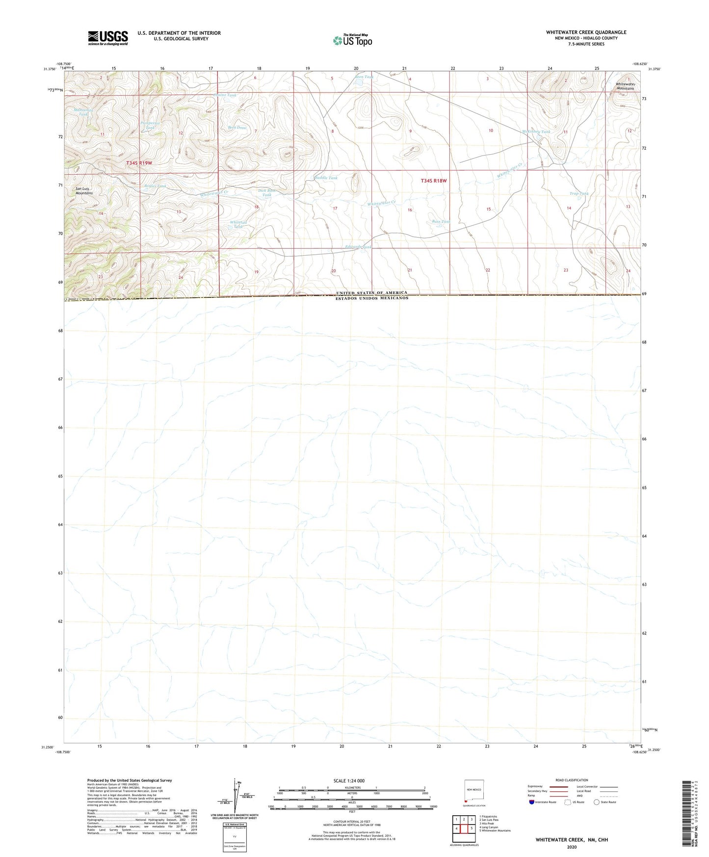
2020 topographic map quadrangle Whitewater Creek in the state of New Mexico. Scale: 1:24000. Based on the newly updated USGS 7.5' US Topo map series, this map is in the following counties: Hidalgo. The map contains contour data, water features, and other items you are used to seeing on USGS maps, but also has updated roads and other features. This is the next generation of topographic maps. Printed on high-quality waterproof paper with UV fade-resistant inks.
Quads adjacent to this one:
West: Lang Canyon
Northwest: Fitzpatricks
North: San Luis Pass
Northeast: Hilo Peak
East: Whitewater Mountains
Contains the following named places: Bass Tank, Been Tank, Boyles Tank, Chavez Tank, Dick Bass Tank, Edwards Tank, Manzanita Tank, McKinney Tank, Nations Hut, Nations Tank, Packers Trail, Prospector Tank, R I Bass Ranch, Saddle Tank, T Pendleton Ranch, Trap Tank, W E Bass Ranch, Whitetail Tank, Whitewater Creek, Whitewater Tank