MyTopo
Woodley Flat New Mexico US Topo Map
Couldn't load pickup availability
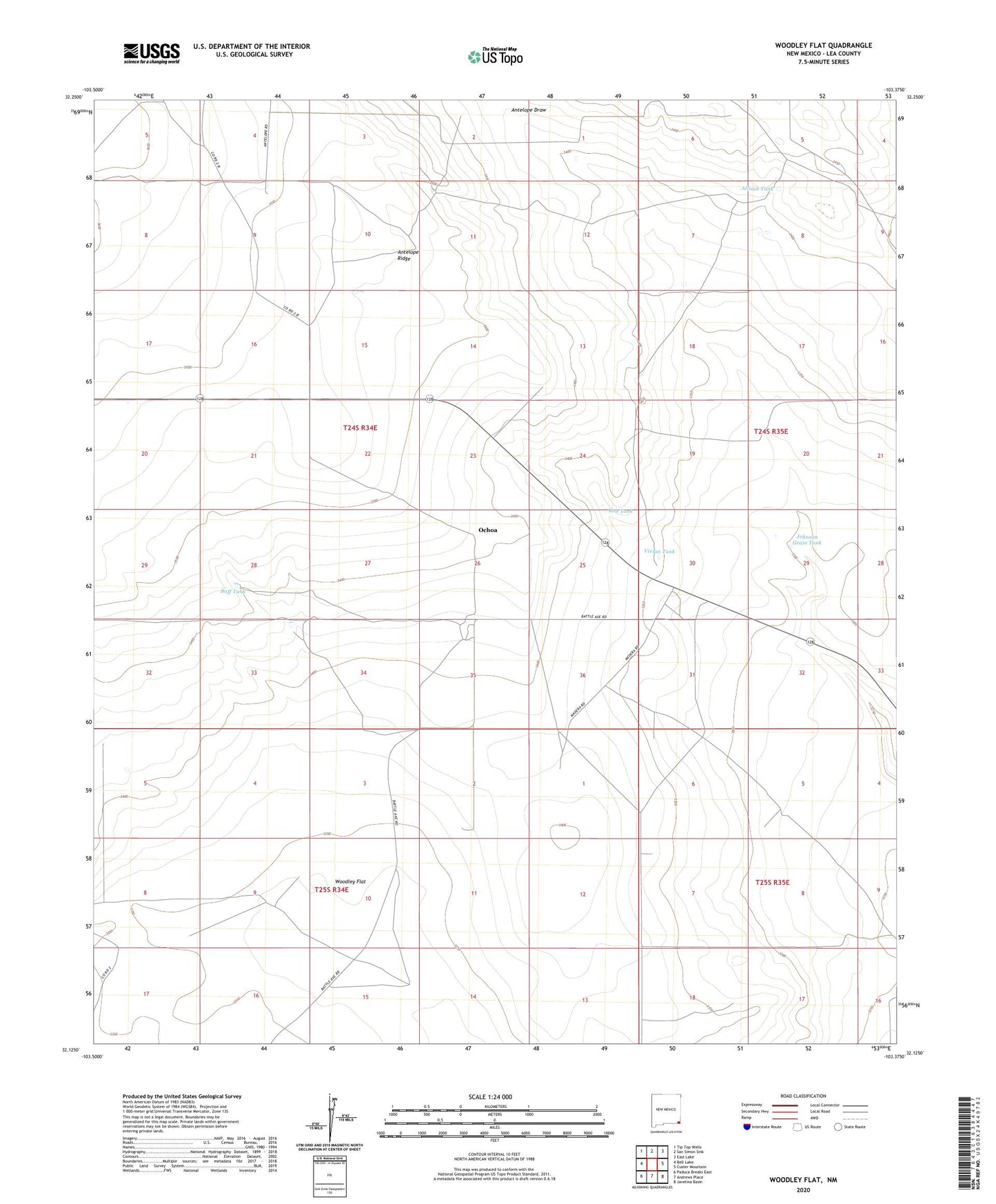
2020 topographic map quadrangle Woodley Flat in the state of New Mexico. Scale: 1:24000. Based on the newly updated USGS 7.5' US Topo map series, this map is in the following counties: Lea. The map contains contour data, water features, and other items you are used to seeing on USGS maps, but also has updated roads and other features. This is the next generation of topographic maps. Printed on high-quality waterproof paper with UV fade-resistant inks.
Quads adjacent to this one:
West: Bell Lake
Northwest: Tip Top Wells
North: San Simon Sink
Northeast: East Lake
East: Custer Mountain
Southeast: Javelina Basin
South: Andrews Place
Southwest: Paduca Breaks East
Contains the following named places: Allison Tank, Baird Place, Bob Tank, Buff Tank, East Windmill, Fairview Windmill, Henry Windmill, Jal Division, Johnson Grass Tank, Ochoa, Ochoa Post Office, Ochoa Weather Station, Pitchfork Ranch, Vivian Tank, White Tank, Woodley Flat, Woodley Windmills, Woodly Flat, Yates Windmill, ZIP Code: 88252