MyTopo
Paduca Breaks East New Mexico US Topo Map
Couldn't load pickup availability
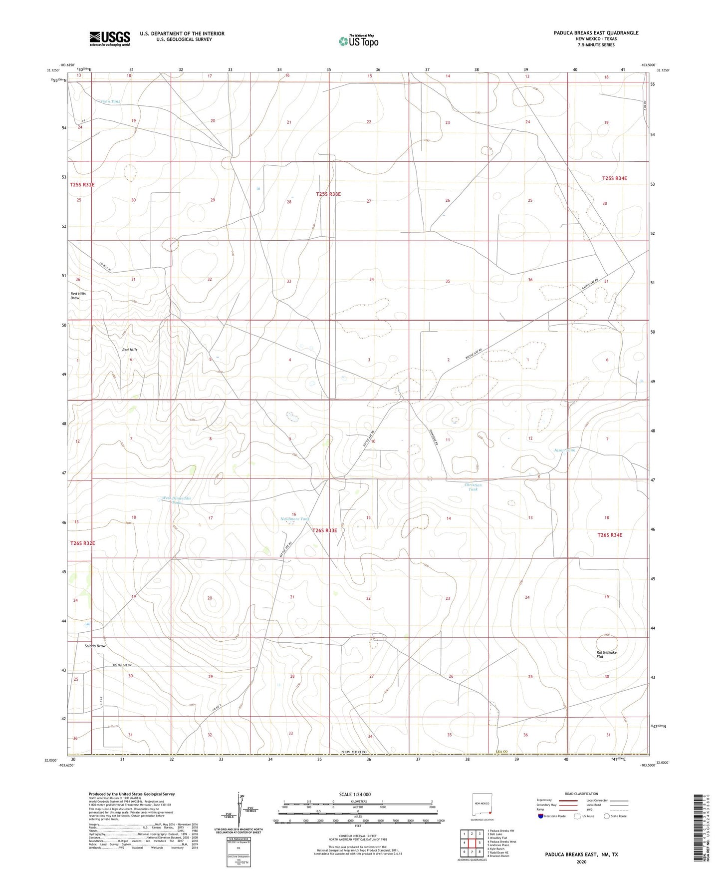
2023 topographic map quadrangle Paduca Breaks East in the state of New Mexico. Scale: 1:24000. Based on the newly updated USGS 7.5' US Topo map series, this map is in the following counties: Lea, Loving. The map contains contour data, water features, and other items you are used to seeing on USGS maps, but also has updated roads and other features. This is the next generation of topographic maps. Printed on high-quality waterproof paper with UV fade-resistant inks.
Quads adjacent to this one:
West: Paduca Breaks West
Northwest: Paduca Breaks NW
North: Bell Lake
Northeast: Woodley Flat
East: Andrews Place
Southeast: Brunson Ranch
South: Rudd Draw NE
Southwest: Kyle Ranch
Contains the following named places: 12950 Water Well, 12951 Water Well, 12952 Water Well, 12953 Water Well, 12954 Water Well, 12955 Water Well, 12956 Water Well, 12957 Water Well, 12986 Water Well, 12987 Water Well, 13632 Water Well, 13633 Water Well, 13650 Water Well, Christian Tank, Jason Tank, Needmore Tank, Penn Tank, Rattlesnake Flat, Red Hills, Salado Draw, Salado Draw Oil Field, Sanders Tank, West Dinwiddie Tank