MyTopo
Yeso New Mexico US Topo Map
Couldn't load pickup availability
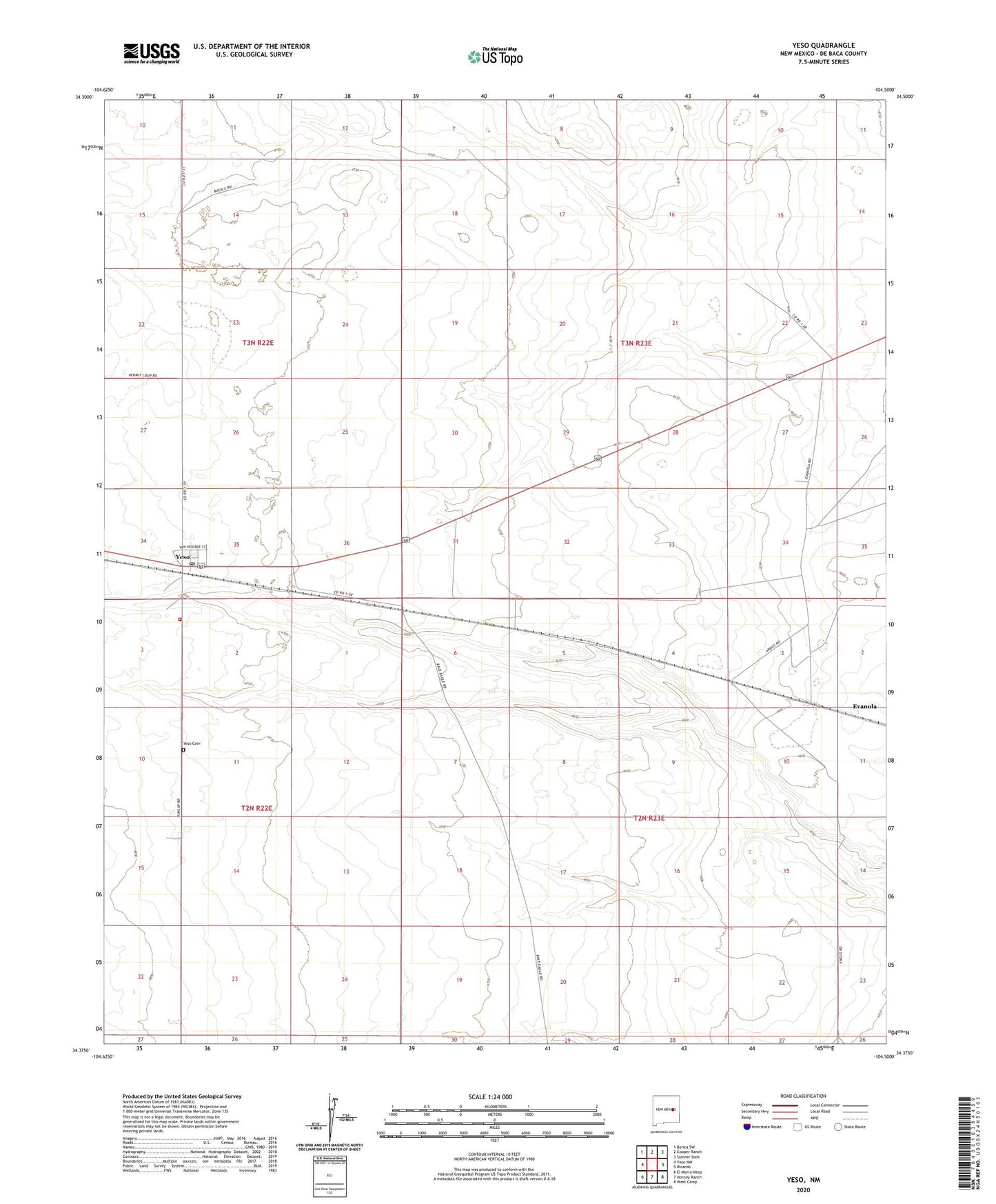
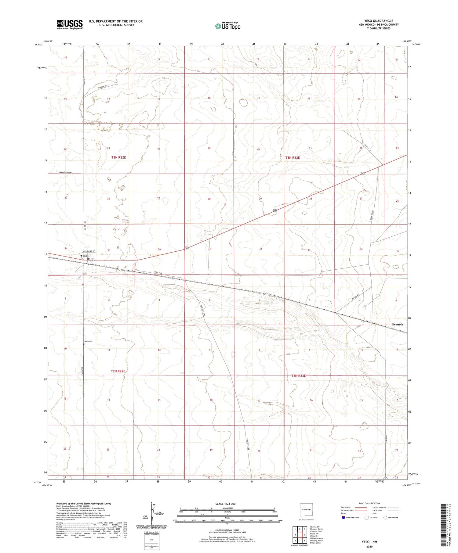
2020 topographic map quadrangle Yeso in the state of New Mexico. Scale: 1:24000. Based on the newly updated USGS 7.5' US Topo map series, this map is in the following counties: De Baca. The map contains contour data, water features, and other items you are used to seeing on USGS maps, but also has updated roads and other features. This is the next generation of topographic maps. Printed on high-quality waterproof paper with UV fade-resistant inks.
Quads adjacent to this one:
West: Yeso NW
Northwest: Borica SW
North: Cooper Ranch
Northeast: Sumner Dam
East: Ricardo
Southeast: West Camp
South: Horney Ranch
Southwest: El Morro Mesa
Contains the following named places: Hisel Ranch, Long Ranch, Yeso, Yeso Cemetery, Yeso Post Office, Yeso Volunteer Fire Department, Yeso Weather Station