MyTopo
Brother Ponds New York US Topo Map
Couldn't load pickup availability
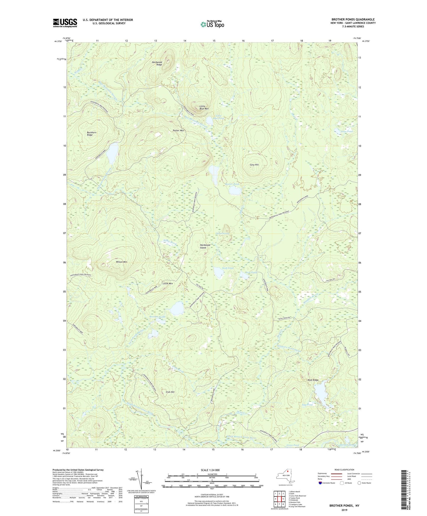
2019 topographic map quadrangle Brother Ponds in the state of New York. Scale: 1:24000. Based on the newly updated USGS 7.5' US Topo map series, this map is in the following counties: St. Lawrence. The map contains contour data, water features, and other items you are used to seeing on USGS maps, but also has updated roads and other features. This is the next generation of topographic maps. Printed on high-quality waterproof paper with UV fade-resistant inks.
Quads adjacent to this one:
West: Tooley Pond
Northwest: Albert Marsh
North: Stark
Northeast: Carry Falls Reservoir
East: Childwold
Southeast: Long Tom Mountain
South: Cranberry Lake
Southwest: Newton Falls
Contains the following named places: Balsam Pond, Beaver Pond, Brother Ponds, Buckhorn Ridge, Cary Hill, Clear Pond, Cook Pond Outlet, Dead Creek, Dismal Swamp, Egg Pond, Grass Pond, Hardwood Island, Hardwood Ridge, Irish Brook, Irish Hill, Lem Pond, Little Blue Mountain, Little Blue Pond, Little Mountain, Lone Pond, Pleasant Lake, Potter Mountain, Sampson Pond, Sampson Pond Outlet, Stony Brook, Town of Colton, Twin Ponds Outlet, Webb Creek, Wilson Mountain, Windfall Brook, Wolf Pond, Wolf Ridge