MyTopo
Dexter New York US Topo Map
Couldn't load pickup availability
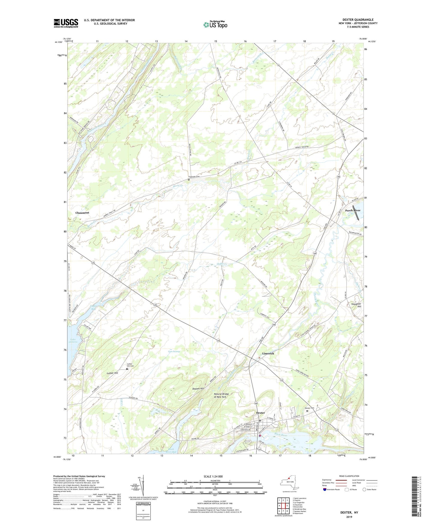
2019 topographic map quadrangle Dexter in the state of New York. Scale: 1:24000. Based on the newly updated USGS 7.5' US Topo map series, this map is in the following counties: Jefferson. The map contains contour data, water features, and other items you are used to seeing on USGS maps, but also has updated roads and other features. This is the next generation of topographic maps. Printed on high-quality waterproof paper with UV fade-resistant inks.
Quads adjacent to this one:
West: Chaumont
Northwest: Saint Lawrence
North: Clayton
Northeast: La Fargeville
East: Brownville
Southeast: Watertown
South: Sackets Harbor
Southwest: Henderson Bay
Contains the following named places: Bar Z Farm, Breezy Knoll Mobile Home Park, Brownville State Game Farm, Dexter, Dexter Cemetery, Dexter Elementary School, Dexter Free Library, Dexter Police Department, Dexter Post Office, Dexter Presbyterian Church, Dexter Sewage Treatment Plant, Dexter United Methodist Church, Dexter Volunteer Fire Department Dexter Station 1, Doanes Hill, Freeman Cemetery, General Brown High School, Guffin Creek, Gum Swamp, Limerick, Luther Hill, Luther Hill Cemetery, Natural Bridge of New York, Parker Family Farms, Perch River, Reynolds Corner, School Number 1, School Number 12, School Number 13, School Number 15, School Number 16, School Number 17, School Number 18, School Number 4, School Number 6, School Number 8, School Number 9, Slaughter Hill, Sucker Creek, Town of Brownville, Trout Creek, Village of Dexter, WXIK-AM (Brownville), ZIP Codes: 13622, 13634