MyTopo
North Osceola New York US Topo Map
Couldn't load pickup availability
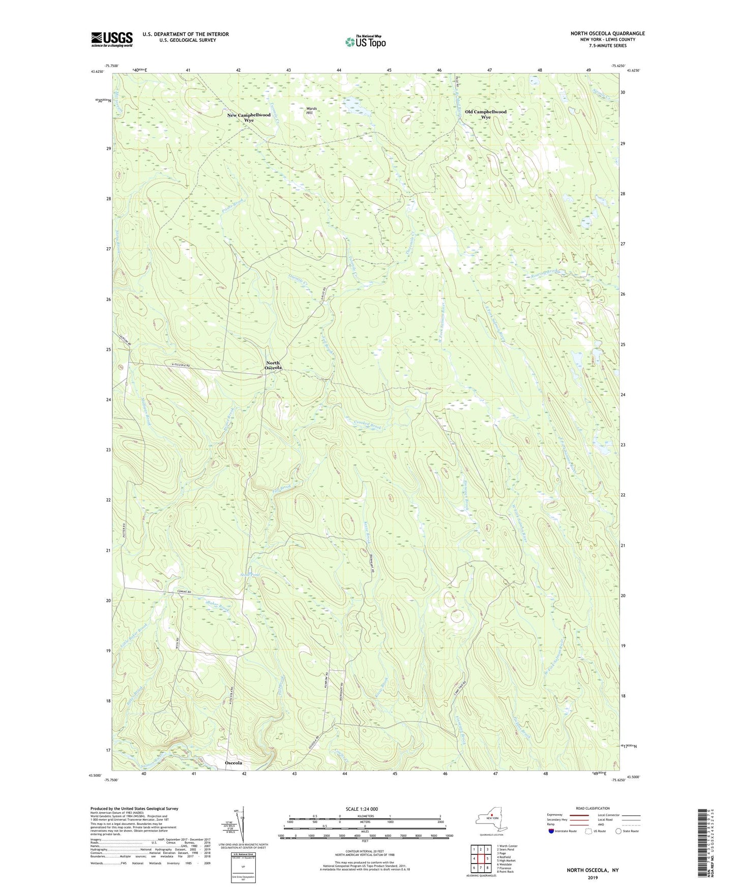
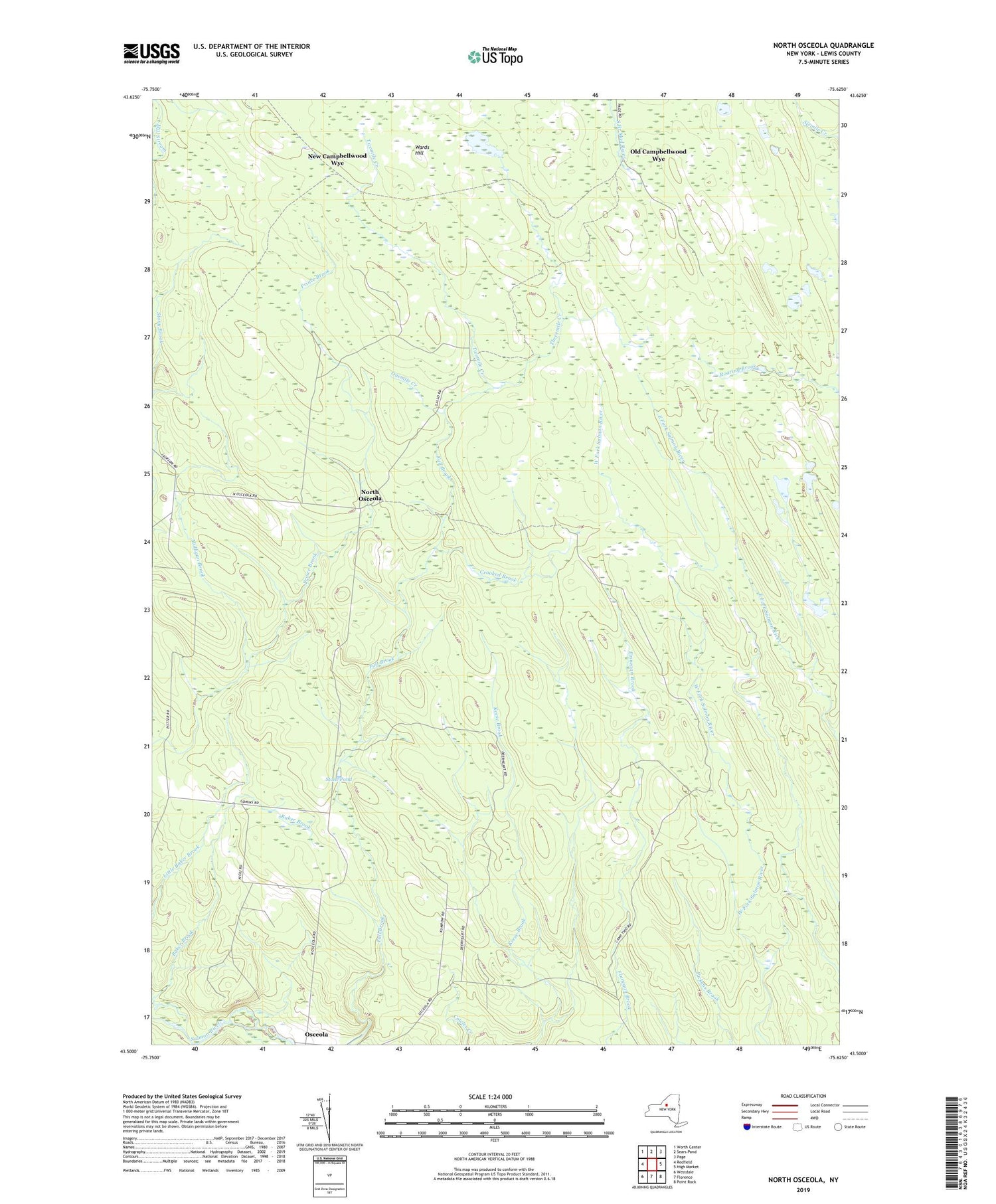
2019 topographic map quadrangle North Osceola in the state of New York. Scale: 1:24000. Based on the newly updated USGS 7.5' US Topo map series, this map is in the following counties: Lewis. The map contains contour data, water features, and other items you are used to seeing on USGS maps, but also has updated roads and other features. This is the next generation of topographic maps. Printed on high-quality waterproof paper with UV fade-resistant inks.
Quads adjacent to this one:
West: Redfield
Northwest: Worth Center
North: Sears Pond
Northeast: Page
East: High Market
Southeast: Point Rock
South: Florence
Southwest: Westdale
Contains the following named places: Baker Brook, Crooked Brook, Keese Brook, Mulligan Brook, New Campbellwood Wye, North Osceola, Old Campbellwood Wye, Onemile Creek, Osceola, Osceola Public Library, School Number 3, School Number 4, School Number 7, Stone Pond, Threemile Creek, Town of Osceola, Twomile Creek, Wards Hill