
MyTopo
Santa Clara New York US Topo Map
Couldn't load pickup availability
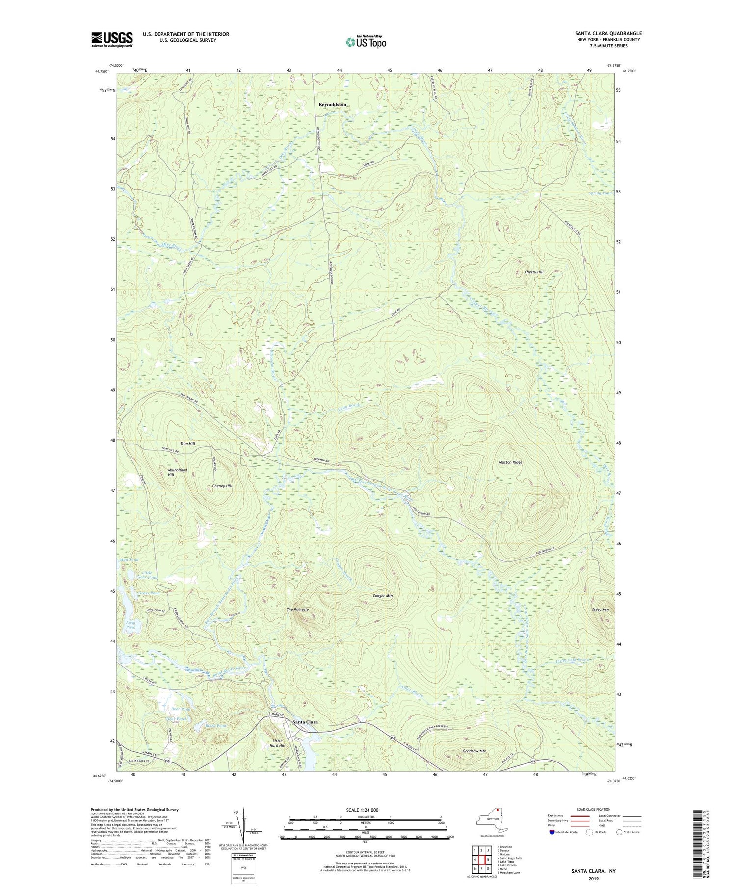
2019 topographic map quadrangle Santa Clara in the state of New York. Scale: 1:24000. Based on the newly updated USGS 7.5' US Topo map series, this map is in the following counties: Franklin. The map contains contour data, water features, and other items you are used to seeing on USGS maps, but also has updated roads and other features. This is the next generation of topographic maps. Printed on high-quality waterproof paper with UV fade-resistant inks.
Quads adjacent to this one:
West: Saint Regis Falls
Northwest: Brushton
North: Bangor
Northeast: Malone
East: Lake Titus
Southeast: Meacham Lake
South: Meno
Southwest: Lake Ozonia
Contains the following named places: Alder Brook, Black Pond, Cady Brook, Cheney Hill, Cherry Hill, Clear Pond, Conger Brook, Conger Mountain, Deer Pond, East Branch Saint Regis River, Franklin State Forest, Goodnow Mountain, Grass Pond, Little Clear Pond, Little Cold Brook, Little Hurd Hill, Long Pond, Mile Brook, Mulholland Hill, Mutton Ridge, Pleasant Brook, Reynoldston, Santa Clara, School Number 5, Stacy Mountain, The Pinnacle, Town of Brandon, Trim Hill, Trombley Landing


