MyTopo
Benson North Carolina US Topo Map
Couldn't load pickup availability
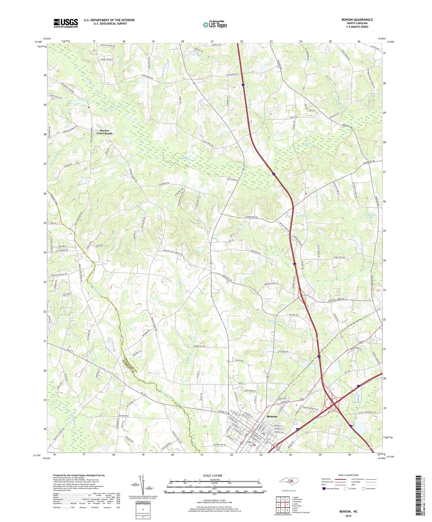
2019 topographic map quadrangle Benson in the state of North Carolina. Scale: 1:24000. Based on the newly updated USGS 7.5' US Topo map series, this map is in the following counties: Johnston, Harnett. The map contains contour data, water features, and other items you are used to seeing on USGS maps, but also has updated roads and other features. This is the next generation of topographic maps. Printed on high-quality waterproof paper with UV fade-resistant inks.
Quads adjacent to this one:
West: Coats
Northwest: Angier
North: Edmondson
Northeast: Powhatan
East: Four Oaks
Southeast: Peacocks Crossroads
South: Dunn
Southwest: Erwin
Contains the following named places: Barbourton Church, Benson, Benson Elementary School, Benson Fire Department, Benson Grove Church, Benson Police Department, Benson Post Office, Camp Branch, Dicks Branch, East Mingo Creek, Ebenezer Church, Elevation Fire Department, G R Barbour Pond, G R Barbour Pond Dam, Hannah Creek Church, Hardee Cross Roads, Hardee Mill Branch, Hodges Chapel, Hooks Branch, Johnsons Chapel, Johnston County Emergency Medical Services Benson Main Station, Lassiter Pond, Macks, Massengill Mill Pond Dam, McCullens Branch, Pleasant Hill Church, Pole Branch, Red Hill Church, Reedy Creek, Saint Marys Grove Church, South Johnston High School, Stevens Chapel, Town of Benson, Township of Banner, Township of Elevation, West Johnston Fire Department, ZIP Code: 27504