MyTopo
Corolla North Carolina US Topo Map
Couldn't load pickup availability
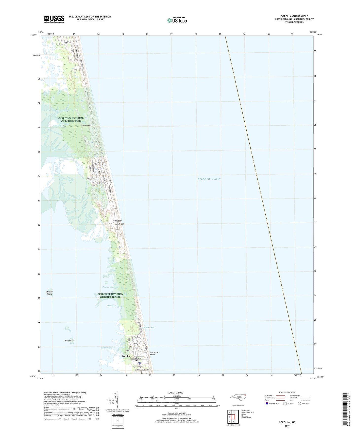
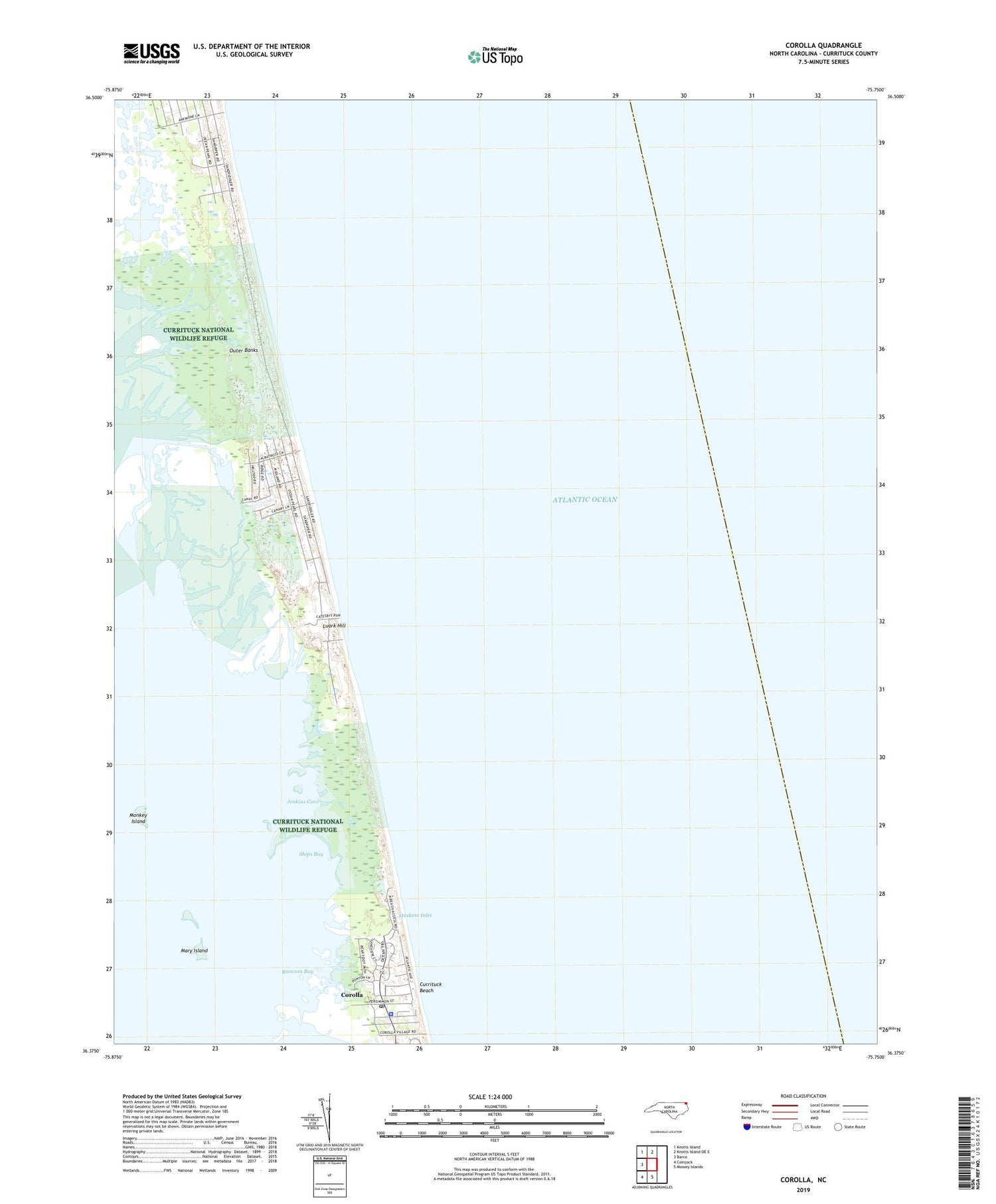
2019 topographic map quadrangle Corolla in the state of North Carolina. Scale: 1:24000. Based on the newly updated USGS 7.5' US Topo map series, this map is in the following counties: Currituck. The map contains contour data, water features, and other items you are used to seeing on USGS maps, but also has updated roads and other features. This is the next generation of topographic maps. Printed on high-quality waterproof paper with UV fade-resistant inks.
Quads adjacent to this one:
West: Barco
Northwest: Knotts Island
North: Knotts Island OE E
South: Mossey Islands
Southwest: Coinjock
Contains the following named places: Corolla, Corolla C G Station 166, Corolla Light Village Shops, Corolla Post Office, Currituck Beach, Currituck Beach Lighthouse, Currituck County Sheriff's Office Corolla / Carova Office, Jenkins Cove, Luark Hill, Lucks Island, Mary Island, Monkey Island, Monkey Island Water Tank, Musketo Inlet, Oak Pond, Ocean Hills, Old Currituck Inlet, Penny Hill C G Station 167, Raccoon Bay, Seagull, Ships Bay