MyTopo
Farrington North Carolina US Topo Map
Couldn't load pickup availability
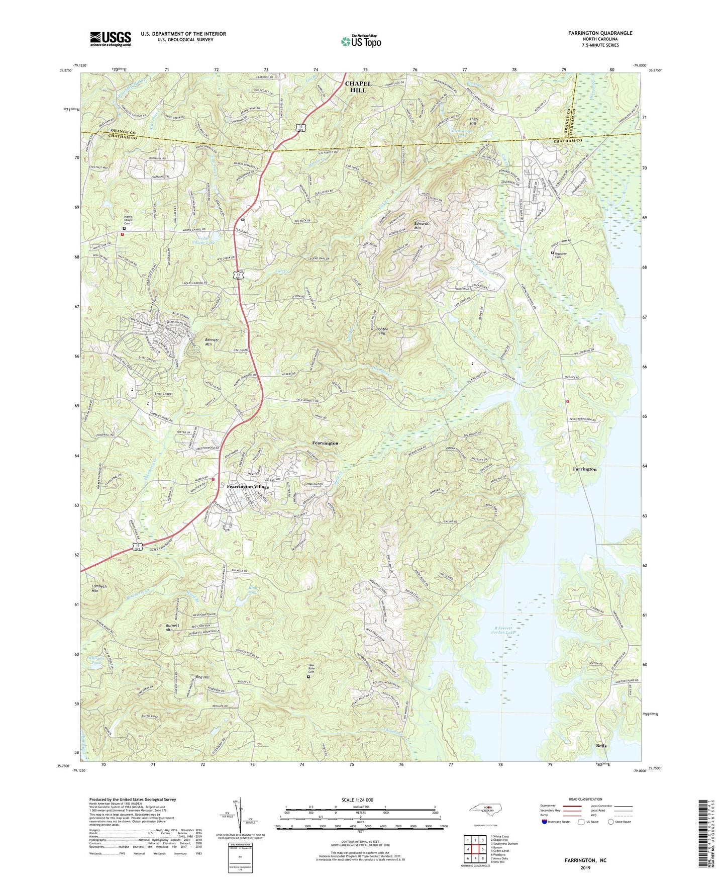
2019 topographic map quadrangle Farrington in the state of North Carolina. Scale: 1:24000. Based on the newly updated USGS 7.5' US Topo map series, this map is in the following counties: Chatham, Orange, Durham. The map contains contour data, water features, and other items you are used to seeing on USGS maps, but also has updated roads and other features. This is the next generation of topographic maps. Printed on high-quality waterproof paper with UV fade-resistant inks.
Quads adjacent to this one:
West: Bynum
Northwest: White Cross
North: Chapel Hill
Northeast: Southwest Durham
East: Green Level
Southeast: New Hill
South: Merry Oaks
Southwest: Pittsboro
Contains the following named places: American Telephone and Telegraph Company Airport, Bells, Bennett Mountain, Big Branch, Big Woods, Boothe Hill, Briar Chapel Census Designated Place, Buck Branch, Burnett Mountain, Bush Creek, Carolina Meadows, Carolina Meadows Census Designated Place, Cedar Village Lake, Cedar Village Lake Dam, Clearwater Lake, Clearwater Lake Dam, CPU Eagles at Chapel Hill, Cub Creek, Cumbo Branch, Edwards Mountain, Evergreen United Methodist Church, Farrington, Fearrington, Fearrington Village, Fearrington Village Census Designated Place, Folkner Branch, Forest Grove Chapel, Governors Club Census Designated Place, Governors Village Census Designated Place, Haw River Cemetery, Haw River Church, Herndon Creek, High Hill, Highland Pond, Jones Branch, Jordan Lake State Recreation Area, King Pond, King Pond Dam, Lambeth Mountain, Long Branch, Lystra Church, Manns Chapel Cemetery, Mellott Gravel Pit, Merritt's Chapel United Methodist Church, Mount Carmel Church, Mount Gilead Church, Mount Zion Church, North Chatham Volunteer Fire Department Station 1, North Chatham Volunteer Fire Department Station 2, North Chatham Volunteer Fire Department Station 3, Overcup Creek, Red Hill, Riggsbee Cemetery, Township of Williams, Triangle School, Ward Branch, White Rock Church, Williams Pond, ZIP Code: 27517