MyTopo
Robersonville East North Carolina US Topo Map
Couldn't load pickup availability
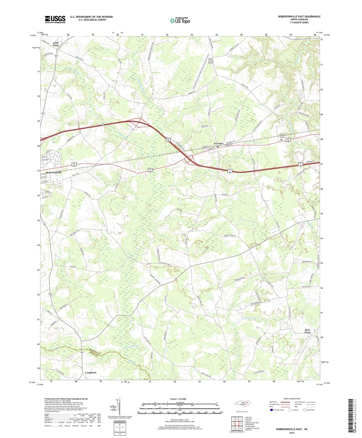
2019 topographic map quadrangle Robersonville East in the state of North Carolina. Scale: 1:24000. Based on the newly updated USGS 7.5' US Topo map series, this map is in the following counties: Martin, Pitt. The map contains contour data, water features, and other items you are used to seeing on USGS maps, but also has updated roads and other features. This is the next generation of topographic maps. Printed on high-quality waterproof paper with UV fade-resistant inks.
Quads adjacent to this one:
West: Robersonville West
Northwest: Oak City
North: Hamilton
Northeast: Quitsna
East: Williamston
Southeast: Old Ford
South: Leggetts Crossroads
Southwest: Greenville NE
Contains the following named places: Bear Grass, Bear Grass High School, Belmont Church, Church Crossroads, Collie Swamp, Congleton, East End School, Everetts, Everetts Post Office, Gold Point, Holy Mission Church, Huskanaw Swamp, Lily of the Valley Church, Martin Academy, Martin County Airport, Martin Memorial Garden, North Everetts School, Oak Grove Church, Rehoboth Church, Roanoke High School, Robersonville, Rock Hill Church, Ross Swamp, Saint Marks Church, Town of Bear Grass, Town of Everetts, Township of Cross Roads, Willow Chapel, Wilson Chapel, ZIP Code: 27825