MyTopo
Adrian North Dakota US Topo Map
Couldn't load pickup availability
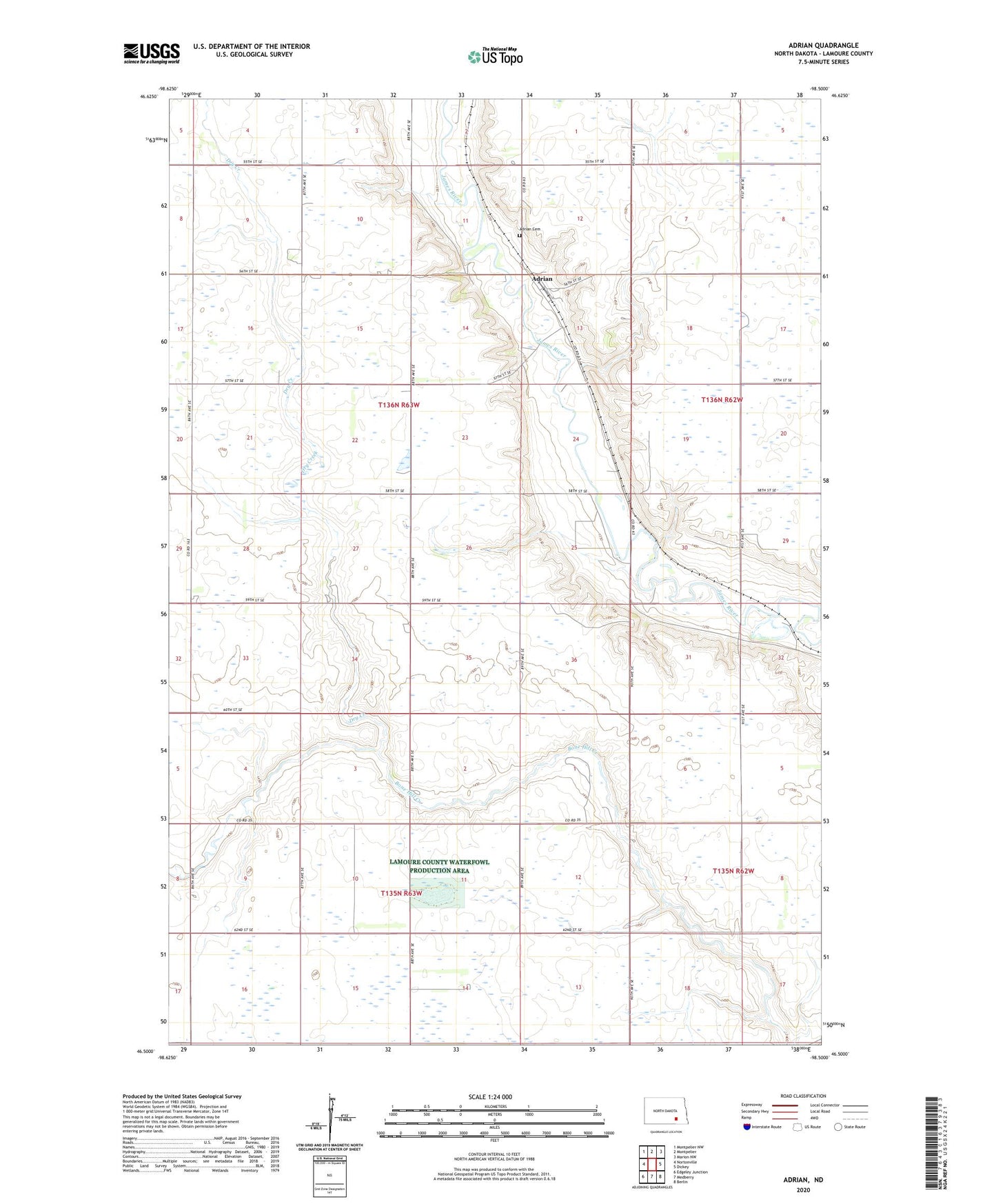
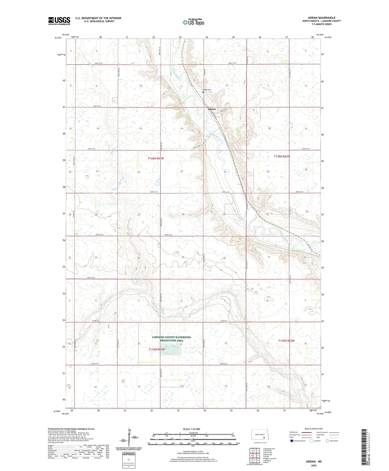
2020 topographic map quadrangle Adrian in the state of North Dakota. Scale: 1:24000. Based on the newly updated USGS 7.5' US Topo map series, this map is in the following counties: LaMoure. The map contains contour data, water features, and other items you are used to seeing on USGS maps, but also has updated roads and other features. This is the next generation of topographic maps. Printed on high-quality waterproof paper with UV fade-resistant inks.
Quads adjacent to this one:
West: Nortonville
Northwest: Montpelier NW
North: Montpelier
Northeast: Marion NW
East: Dickey
Southeast: Berlin
South: Medberry
Southwest: Edgeley Junction
Contains the following named places: Adrian, Adrian Cemetery, Dry Creek, Heinrich-Martin Dam, School Number 3, Township of Adrian, Township of Russell