MyTopo
Alkabo North Dakota US Topo Map
Couldn't load pickup availability
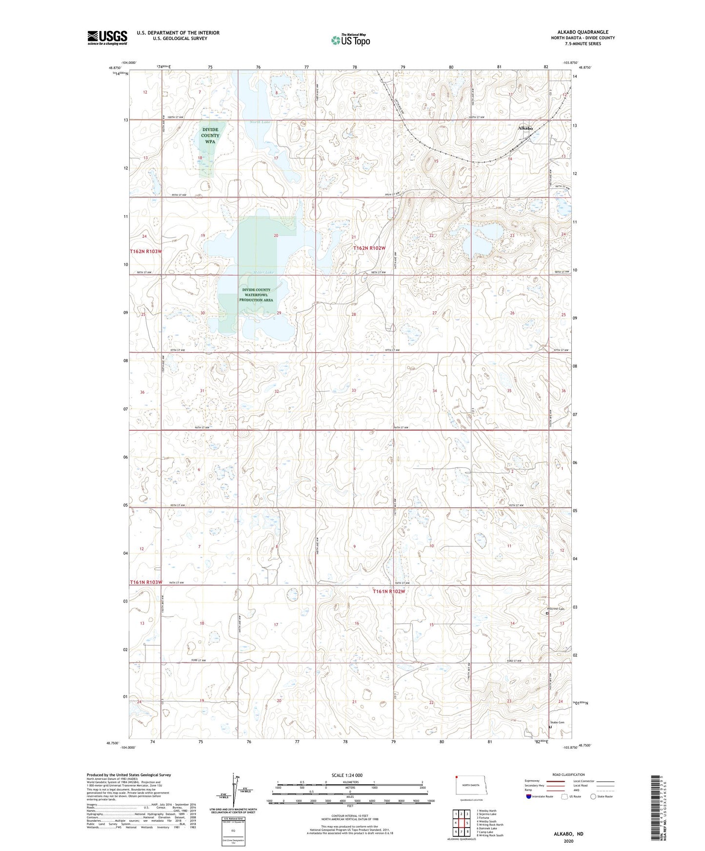
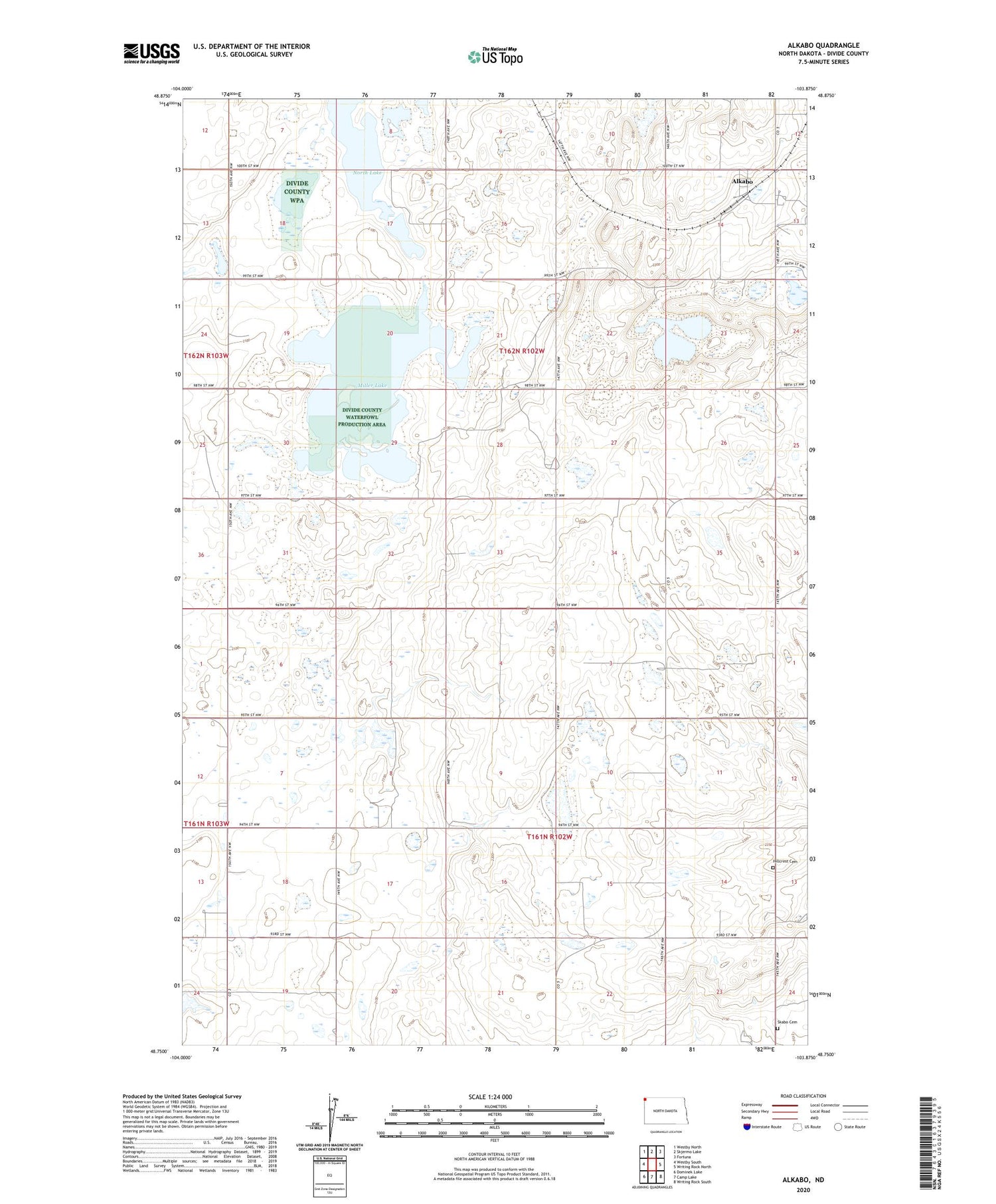
2020 topographic map quadrangle Alkabo in the state of North Dakota. Scale: 1:24000. Based on the newly updated USGS 7.5' US Topo map series, this map is in the following counties: Divide. The map contains contour data, water features, and other items you are used to seeing on USGS maps, but also has updated roads and other features. This is the next generation of topographic maps. Printed on high-quality waterproof paper with UV fade-resistant inks.
Quads adjacent to this one:
West: Westby South
Northwest: Westby North
North: Skjermo Lake
Northeast: Fortuna
East: Writing Rock North
Southeast: Writing Rock South
South: Camp Lake
Southwest: Dominek Lake
Contains the following named places: Alkabo, Hillcrest Cemetery, Miller Lake, North Lake, Skabo Cemetery, Skabo Church, Township of Daneville, Township of Westby