MyTopo
Almont West North Dakota US Topo Map
Couldn't load pickup availability
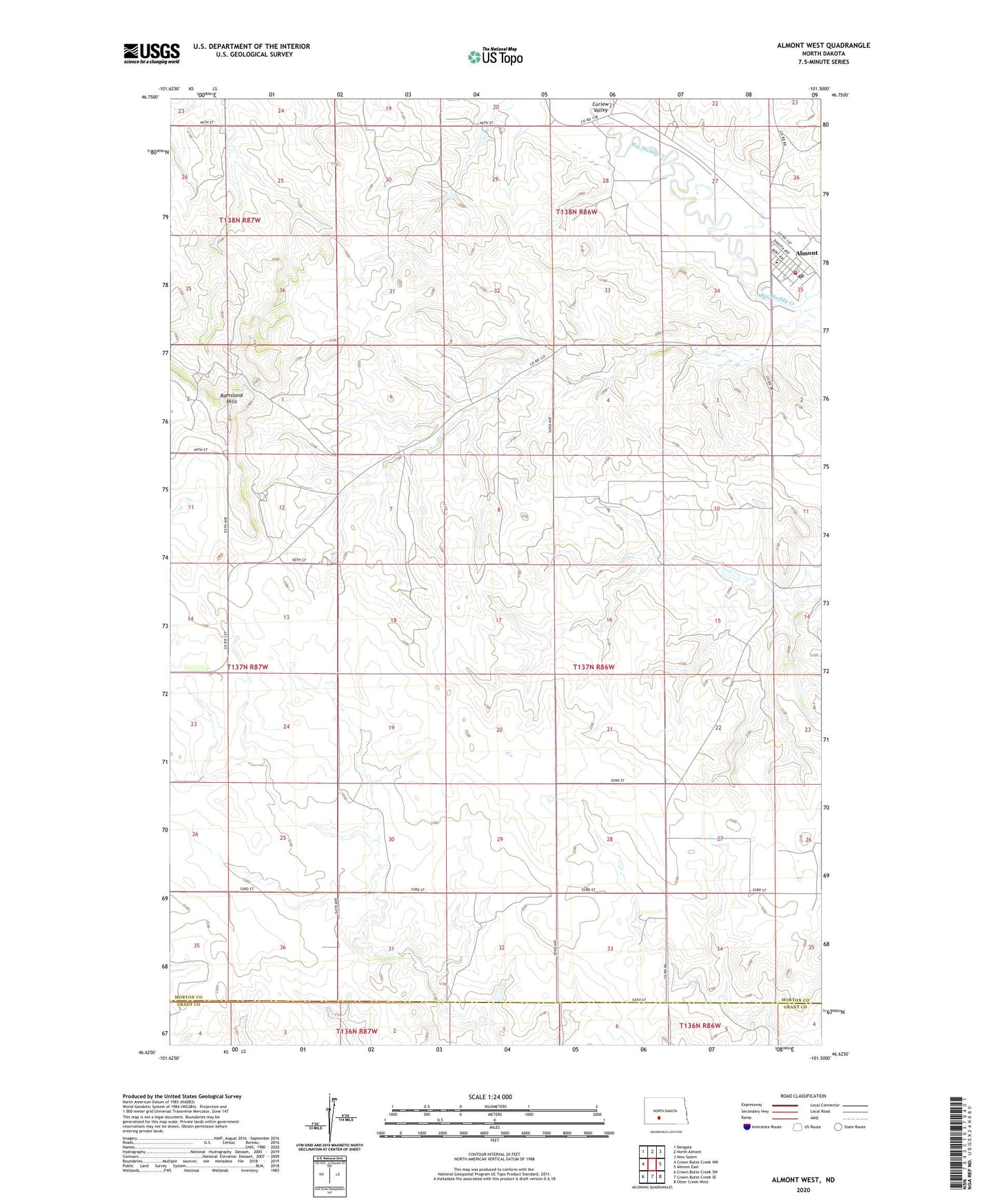
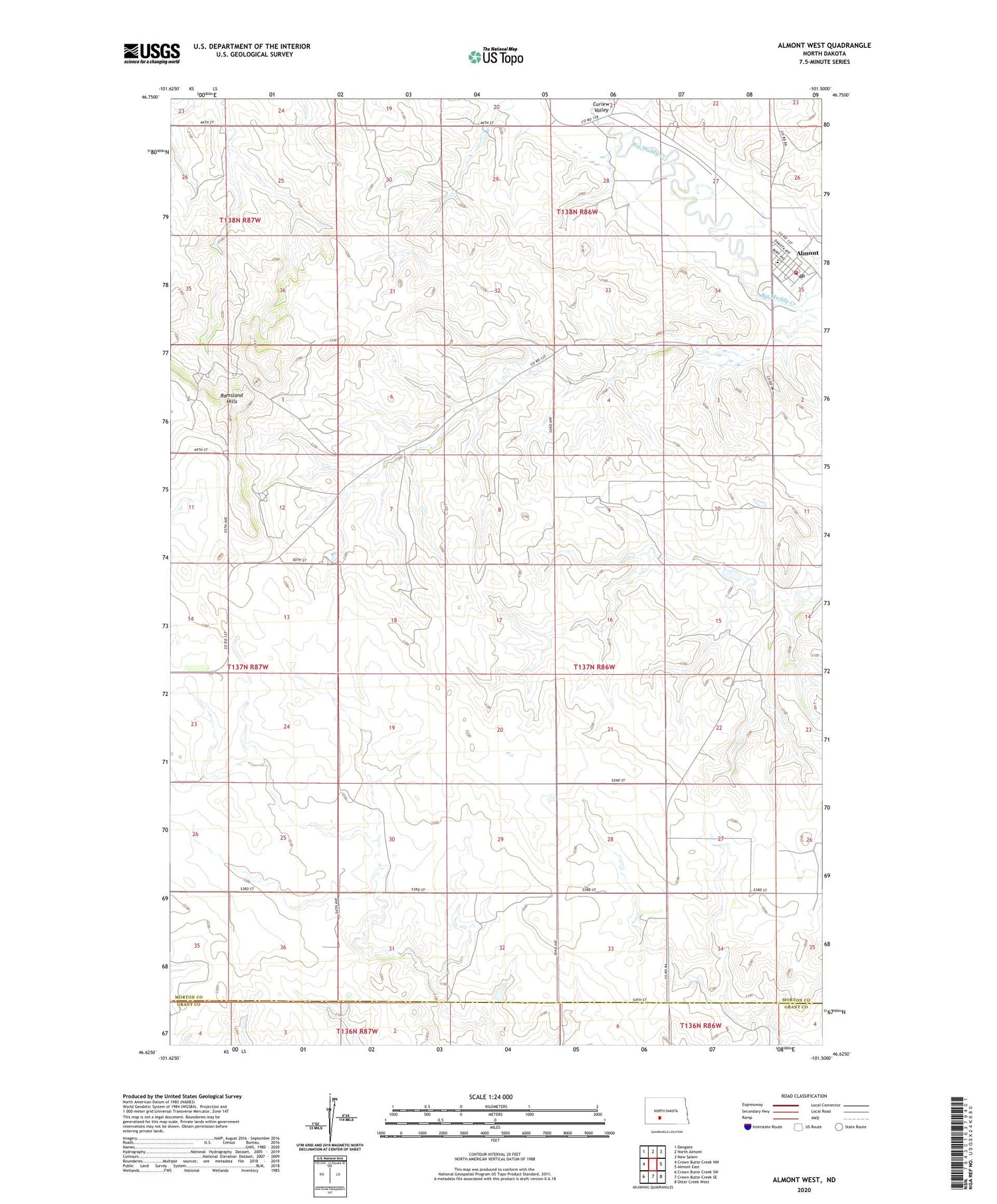
2020 topographic map quadrangle Almont West in the state of North Dakota. Scale: 1:24000. Based on the newly updated USGS 7.5' US Topo map series, this map is in the following counties: Morton, Grant. The map contains contour data, water features, and other items you are used to seeing on USGS maps, but also has updated roads and other features. This is the next generation of topographic maps. Printed on high-quality waterproof paper with UV fade-resistant inks.
Quads adjacent to this one:
West: Crown Butte Creek NW
Northwest: Dengate
North: North Almont
Northeast: New Salem
East: Almont East
Southeast: Otter Creek West
South: Crown Butte Creek SE
Southwest: Crown Butte Creek SW
Contains the following named places: Almont, Almont Ambulance Service, Almont Heritage Park Museum, Almont Memorial Hall, Almont Post Office, Almont Rural Fire Protection District Number 1, City of Almont, Ramsland Hills, ZIP Code: 58520