MyTopo
Appam North Dakota US Topo Map
Couldn't load pickup availability
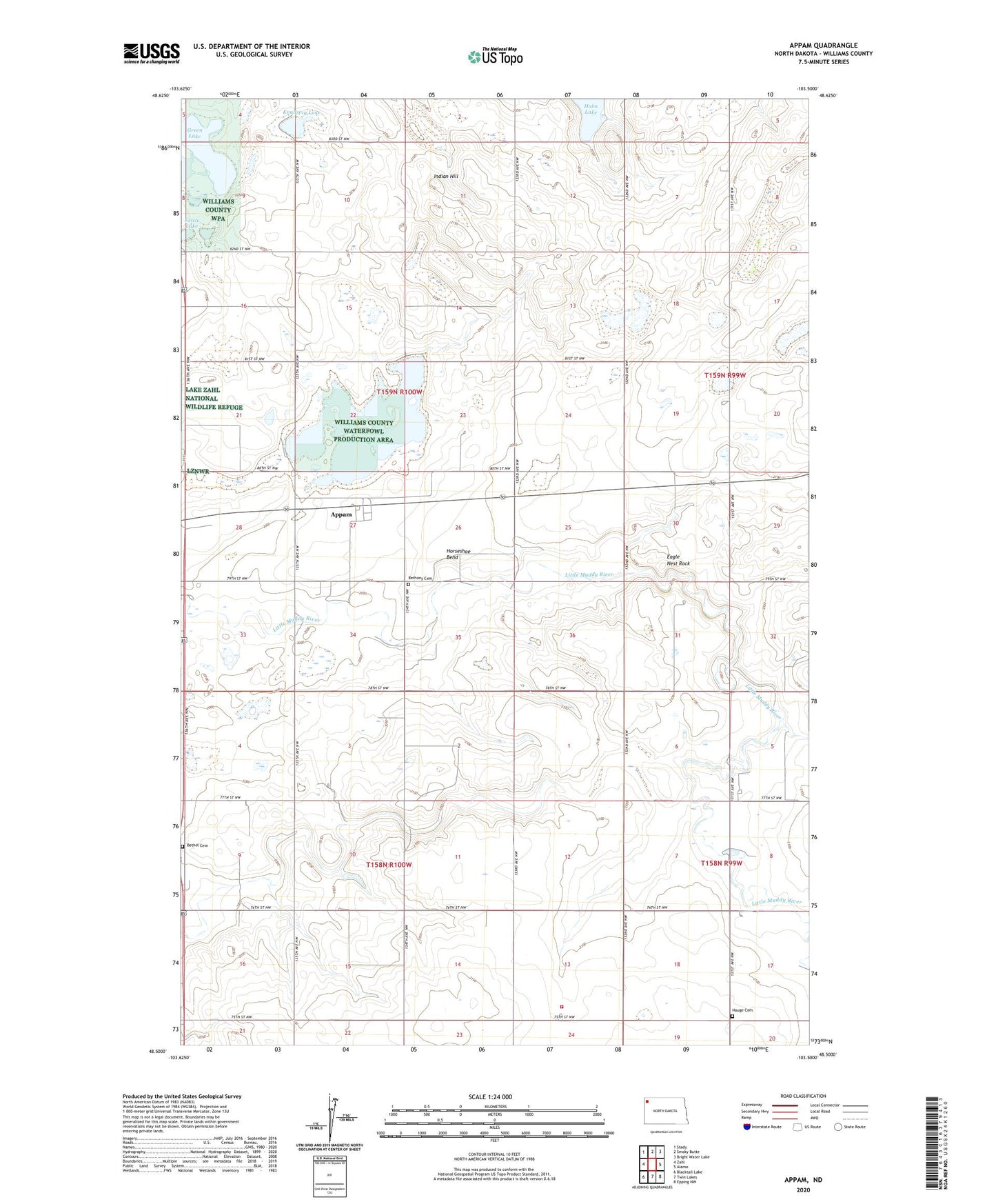
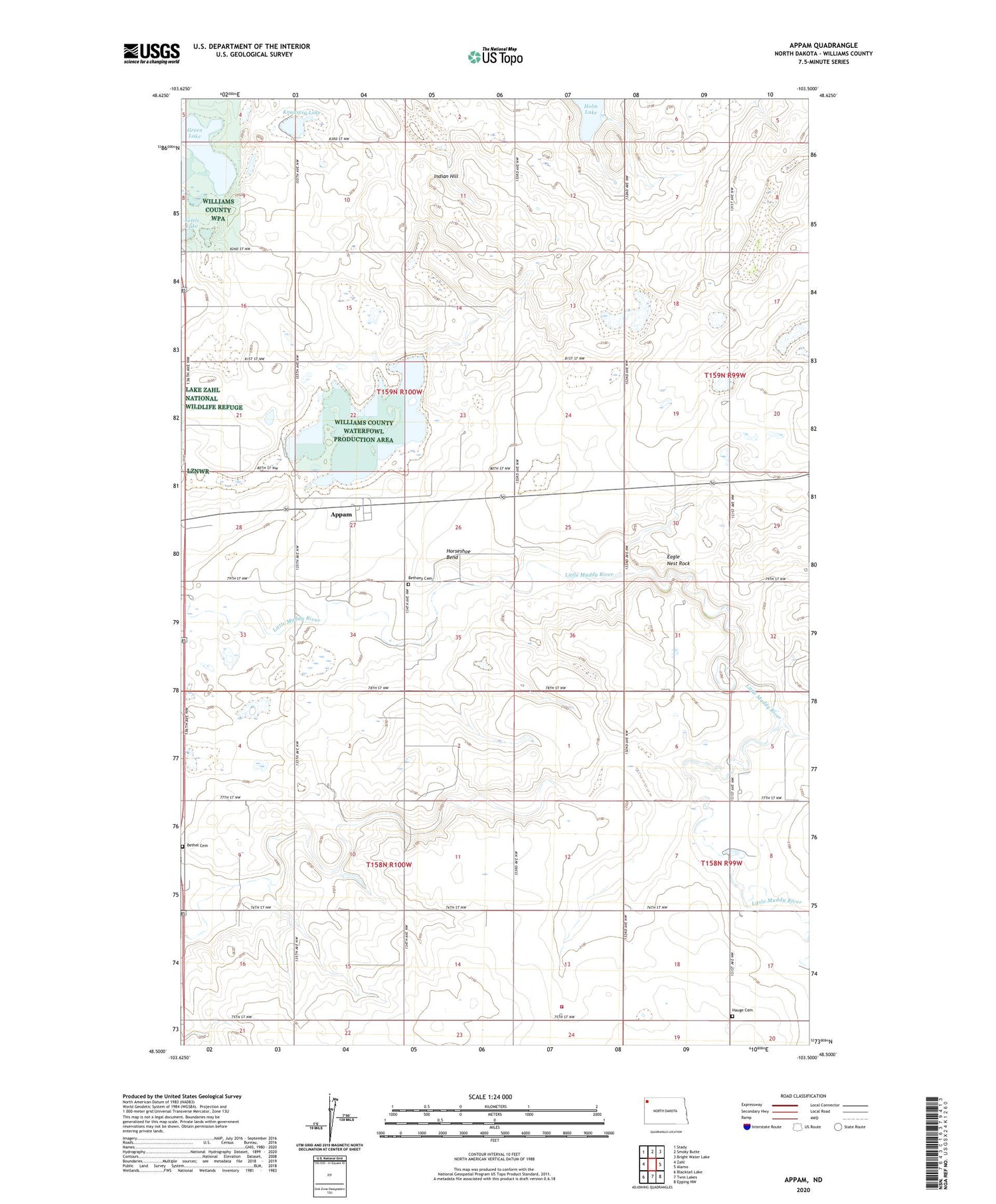
2020 topographic map quadrangle Appam in the state of North Dakota. Scale: 1:24000. Based on the newly updated USGS 7.5' US Topo map series, this map is in the following counties: Williams. The map contains contour data, water features, and other items you are used to seeing on USGS maps, but also has updated roads and other features. This is the next generation of topographic maps. Printed on high-quality waterproof paper with UV fade-resistant inks.
Quads adjacent to this one:
West: Zahl
Northwest: Stady
North: Smoky Butte
Northeast: Bright Water Lake
East: Alamo
Southeast: Epping NW
South: Twin Lakes
Southwest: Blacktail Lake
Contains the following named places: Alamo Rural Fire Department, Alkali Lake, Appam, Bethany Cemetery, Bethel Cemetery, Eagle Nest Rock, Green Lake, Hauge Cemetery, Holm Lake, Horseshoe Bend, Indian Hill, Kettle Lake, Knudsvig Lake, Township of Blue Ridge, Township of Winner