MyTopo
Twin Lakes North Dakota US Topo Map
Couldn't load pickup availability
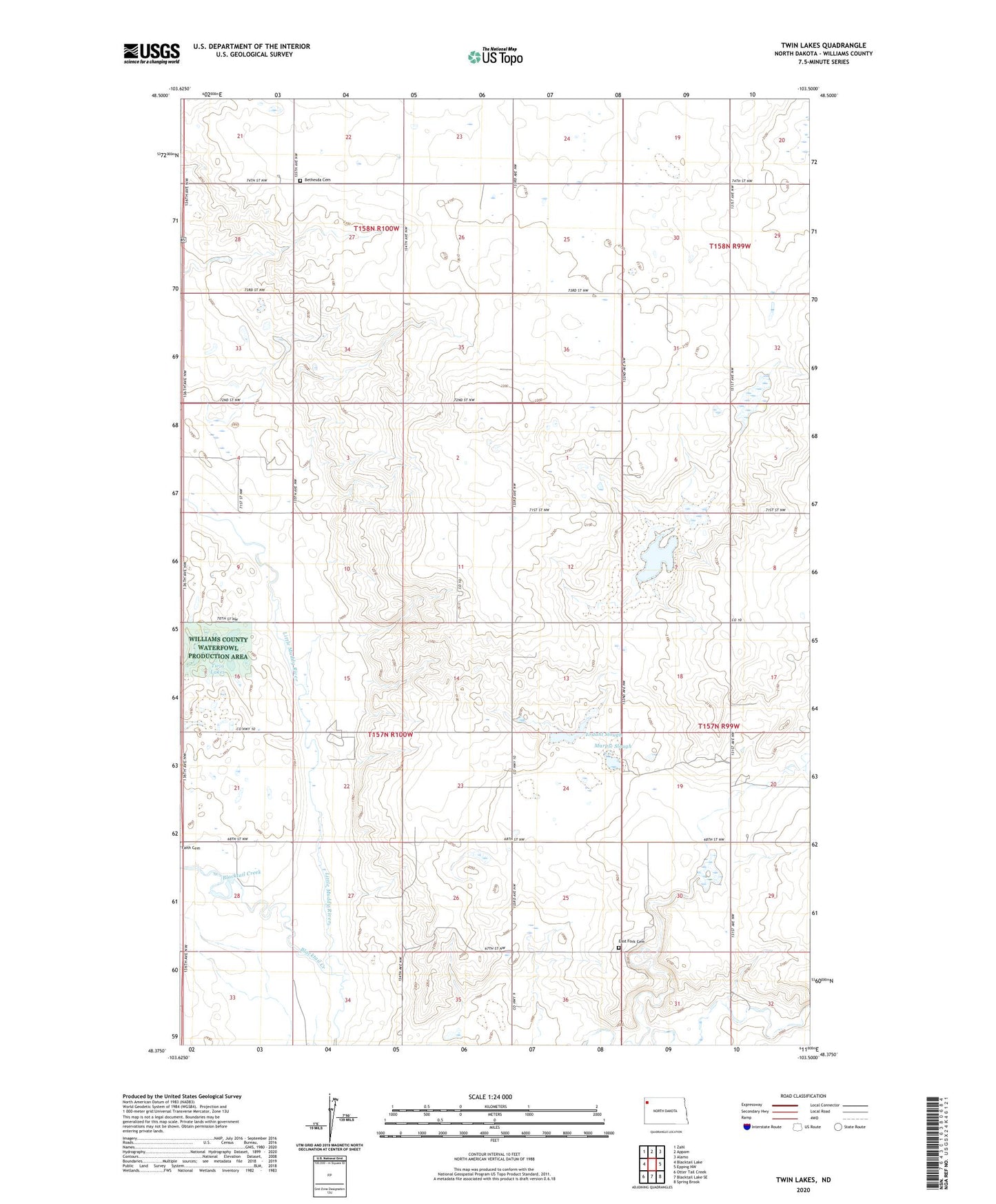
2024 topographic map quadrangle Twin Lakes in the state of North Dakota. Scale: 1:24000. Based on the newly updated USGS 7.5' US Topo map series, this map is in the following counties: Williams. The map contains contour data, water features, and other items you are used to seeing on USGS maps, but also has updated roads and other features. This is the next generation of topographic maps. Printed on high-quality waterproof paper with UV fade-resistant inks.
Quads adjacent to this one:
West: Blacktail Lake
Northwest: Zahl
North: Appam
Northeast: Alamo
East: Epping NW
Southeast: Spring Brook
South: Blacktail Lake SE
Southwest: Otter Tail Creek
This map covers the same area as the classic USGS quad with code o48103d5.
Contains the following named places: Bethesda Cemetery, Bethesda Church, Blacktail Creek, East Fork Cemetery, Erdahl Slough, Faith Church, Johnny Anderson Slough, Lone Tree Lake, Marple Slough, Township of Athens, Twin Lakes, Twin Lakes School