MyTopo
Churchs Ferry North Dakota US Topo Map
Couldn't load pickup availability
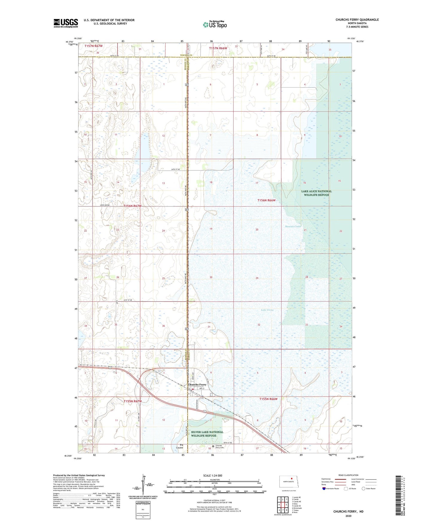
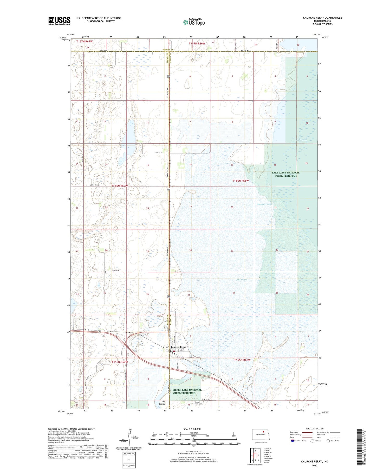
2020 topographic map quadrangle Churchs Ferry in the state of North Dakota. Scale: 1:24000. Based on the newly updated USGS 7.5' US Topo map series, this map is in the following counties: Ramsey, Benson, Towner. The map contains contour data, water features, and other items you are used to seeing on USGS maps, but also has updated roads and other features. This is the next generation of topographic maps. Printed on high-quality waterproof paper with UV fade-resistant inks.
Quads adjacent to this one:
West: Niles
Northwest: Leeds NE
North: Cando
Northeast: Cando NE
East: Cando SE
Southeast: Penn
South: Tilden
Southwest: Brinsmade
Contains the following named places: Churches Fire Station, Churchs Ferry, Churchs Ferry Cemetery, Churchs Ferry Post Office, City of Churchs Ferry, Lac aux Outlet Works Dam, Lake Irvine, Mauvais Coulee, Stink Lake, Township of Chain Lakes, ZIP Code: 58325