
MyTopo
Denhoff North Dakota US Topo Map
Couldn't load pickup availability
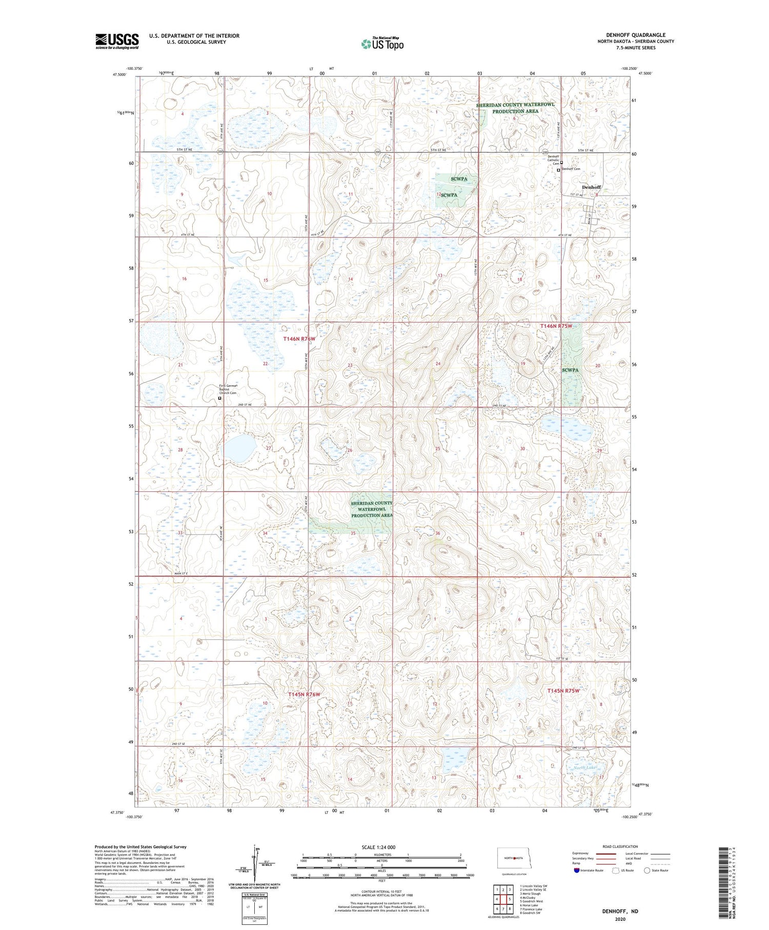
2020 topographic map quadrangle Denhoff in the state of North Dakota. Scale: 1:24000. Based on the newly updated USGS 7.5' US Topo map series, this map is in the following counties: Sheridan. The map contains contour data, water features, and other items you are used to seeing on USGS maps, but also has updated roads and other features. This is the next generation of topographic maps. Printed on high-quality waterproof paper with UV fade-resistant inks.
Quads adjacent to this one:
West: McClusky
Northwest: Lincoln Valley SW
North: Lincoln Valley SE
Northeast: Mertz Slough
East: Goodrich West
Southeast: Goodrich SW
South: Florence Lake
Southwest: Horse Lake
Contains the following named places: Denhoff, Denhoff Catholic Cemetery, Denhoff Cemetery, Denhoff Census Designated Place, First German Baptist Church Cemetery, North Lake, School Number 1, School Number 2, School Number 3, Sperry Dam, Whittaker School Number 2


