MyTopo
Drake North Dakota US Topo Map
Couldn't load pickup availability
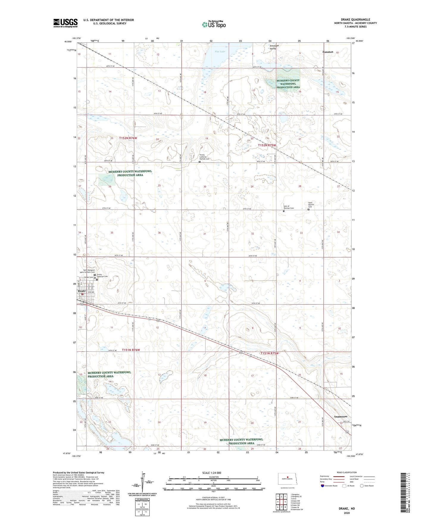
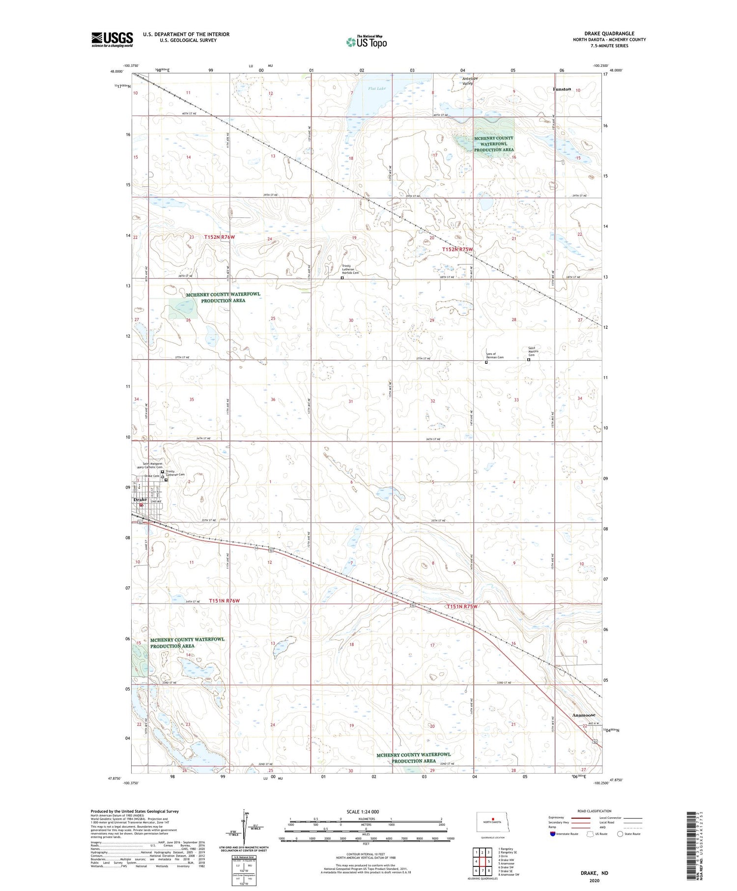
2020 topographic map quadrangle Drake in the state of North Dakota. Scale: 1:24000. Based on the newly updated USGS 7.5' US Topo map series, this map is in the following counties: McHenry. The map contains contour data, water features, and other items you are used to seeing on USGS maps, but also has updated roads and other features. This is the next generation of topographic maps. Printed on high-quality waterproof paper with UV fade-resistant inks.
Quads adjacent to this one:
West: Drake NW
Northwest: Rangeley
North: Rangeley SE
Northeast: Orrin
East: Anamoose
Southeast: Anamoose SW
South: Drake SE
Southwest: Drake SW
Contains the following named places: City of Drake, Drake, Drake Cemetery, Drake City Hall, Drake Fire Department, Drake High School, Drake Post Office, Flat Lake, Funston, Norfolk, Roosevelt School Number 1, Saint Margaret Mary Catholic Cemetery, Saint Martins Cemetery, School Number 1, Sons of Herman Cemetery, Township of Anamoose, Township of Schiller, Trinity Lutheran Cemetery, Trinity Lutheran Norfolk Cemetery