MyTopo
Heimdal North Dakota US Topo Map
Couldn't load pickup availability
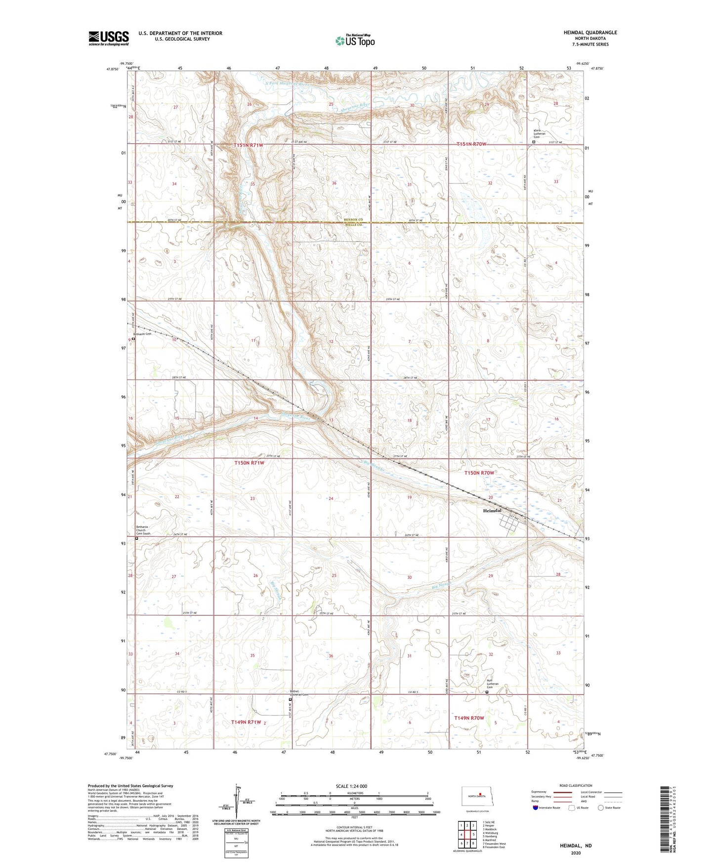
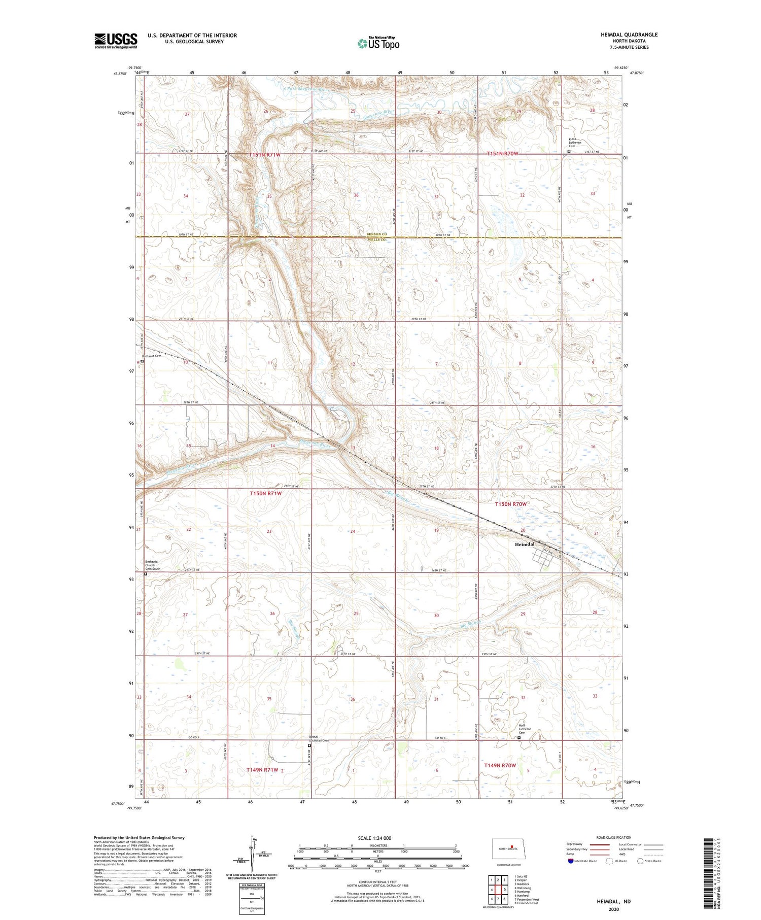
2020 topographic map quadrangle Heimdal in the state of North Dakota. Scale: 1:24000. Based on the newly updated USGS 7.5' US Topo map series, this map is in the following counties: Wells, Benson. The map contains contour data, water features, and other items you are used to seeing on USGS maps, but also has updated roads and other features. This is the next generation of topographic maps. Printed on high-quality waterproof paper with UV fade-resistant inks.
Quads adjacent to this one:
West: Wellsburg
Northwest: Selz NE
North: Hesper
Northeast: Maddock
East: Hamberg
Southeast: Fessenden East
South: Fessenden West
Southwest: Manfred
Contains the following named places: Bethania Cemetery, Bethania Church, Bethania Church Cemetery South, Bethel Church, Bethel Lutheran Cemetery, Big Slough, Heimdal, Heimdal Census Designated Place, Hoff Lutheran Cemetery, Klara Church, Klara Lutheran Cemetery, North Fork School Number 2, North Fork Sheyenne River, School Number 3, Township of Fram