MyTopo
Helde Lake North Dakota US Topo Map
Couldn't load pickup availability
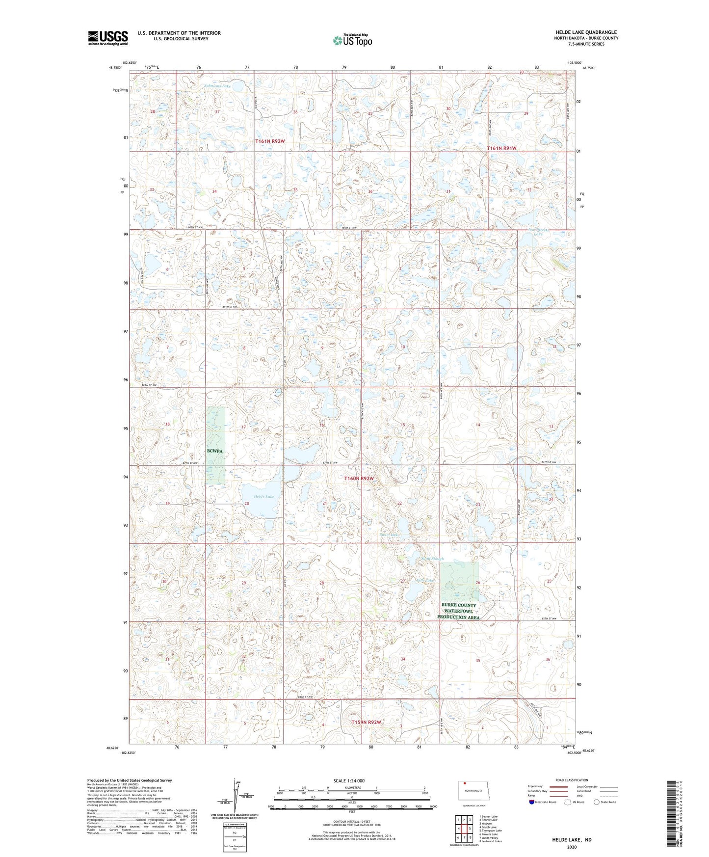
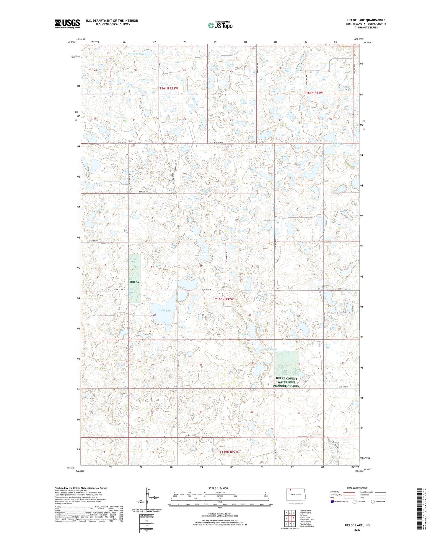
2020 topographic map quadrangle Helde Lake in the state of North Dakota. Scale: 1:24000. Based on the newly updated USGS 7.5' US Topo map series, this map is in the following counties: Burke. The map contains contour data, water features, and other items you are used to seeing on USGS maps, but also has updated roads and other features. This is the next generation of topographic maps. Printed on high-quality waterproof paper with UV fade-resistant inks.
Quads adjacent to this one:
West: Grubb Lake
Northwest: Beaver Lake
North: Rennie Lake
Northeast: Woburn
East: Thompson Lake
Southeast: Lostwood Lakes
South: Lunds Valley
Southwest: Powers Lake
Contains the following named places: Fish Lake, Helde Lake, Island Lake, Johnsons Lake, Jud Chrests Lake, Sand Bottom Lake, Sand Slough, Swim Lake, Township of Lucy, Township of Luey