MyTopo
Ives North Dakota US Topo Map
Couldn't load pickup availability
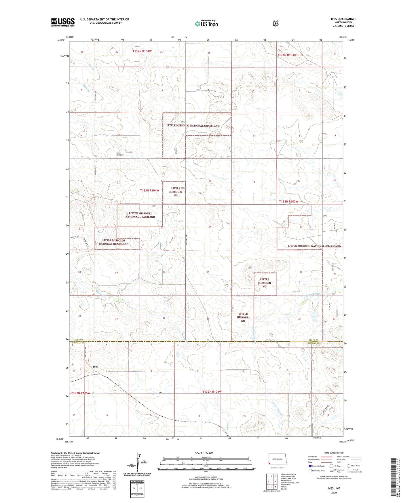
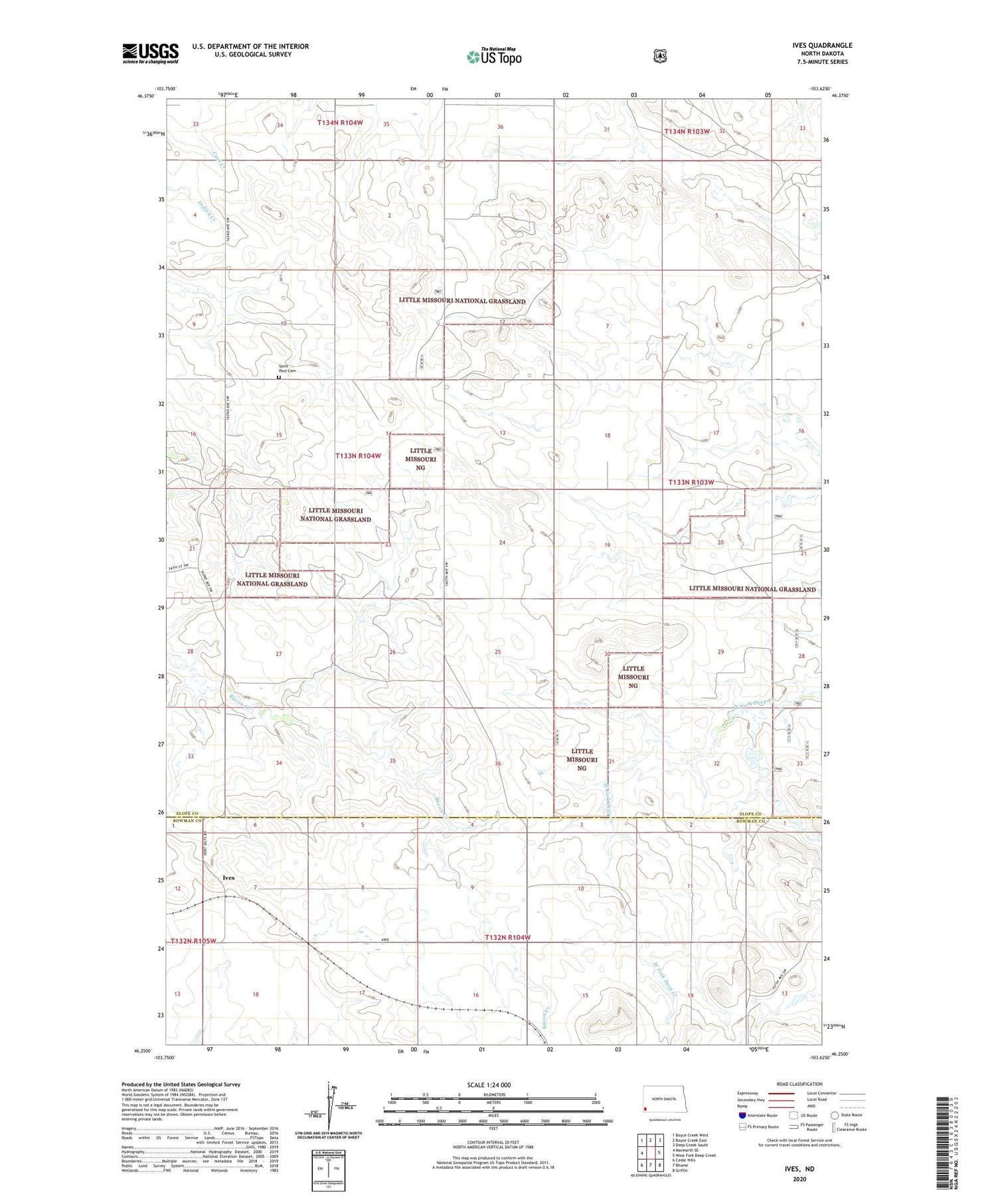
2020 topographic map quadrangle Ives in the state of North Dakota. Scale: 1:24000. Based on the newly updated USGS 7.5' US Topo map series, this map is in the following counties: Slope, Bowman. The map contains contour data, water features, and other items you are used to seeing on USGS maps, but also has updated roads and other features. This is the next generation of topographic maps. Printed on high-quality waterproof paper with UV fade-resistant inks.
Quads adjacent to this one:
West: Marmarth SE
Northwest: Boyce Creek West
North: Boyce Creek East
Northeast: Deep Creek South
East: West Fork Deep Creek
Southeast: Griffin
South: Rhame
Southwest: Cedar Hills
Contains the following named places: E Fischer Ranch, Ives, Oldis Ranch, Saint Paul Cemetery, Swenson Ranch, Township of Crawford, Weisz Ranch, ZIP Code: 58651