MyTopo
Marmarth SE North Dakota US Topo Map
Couldn't load pickup availability
Also explore the Marmarth SE Forest Service Topo of this same quad for updated USFS data
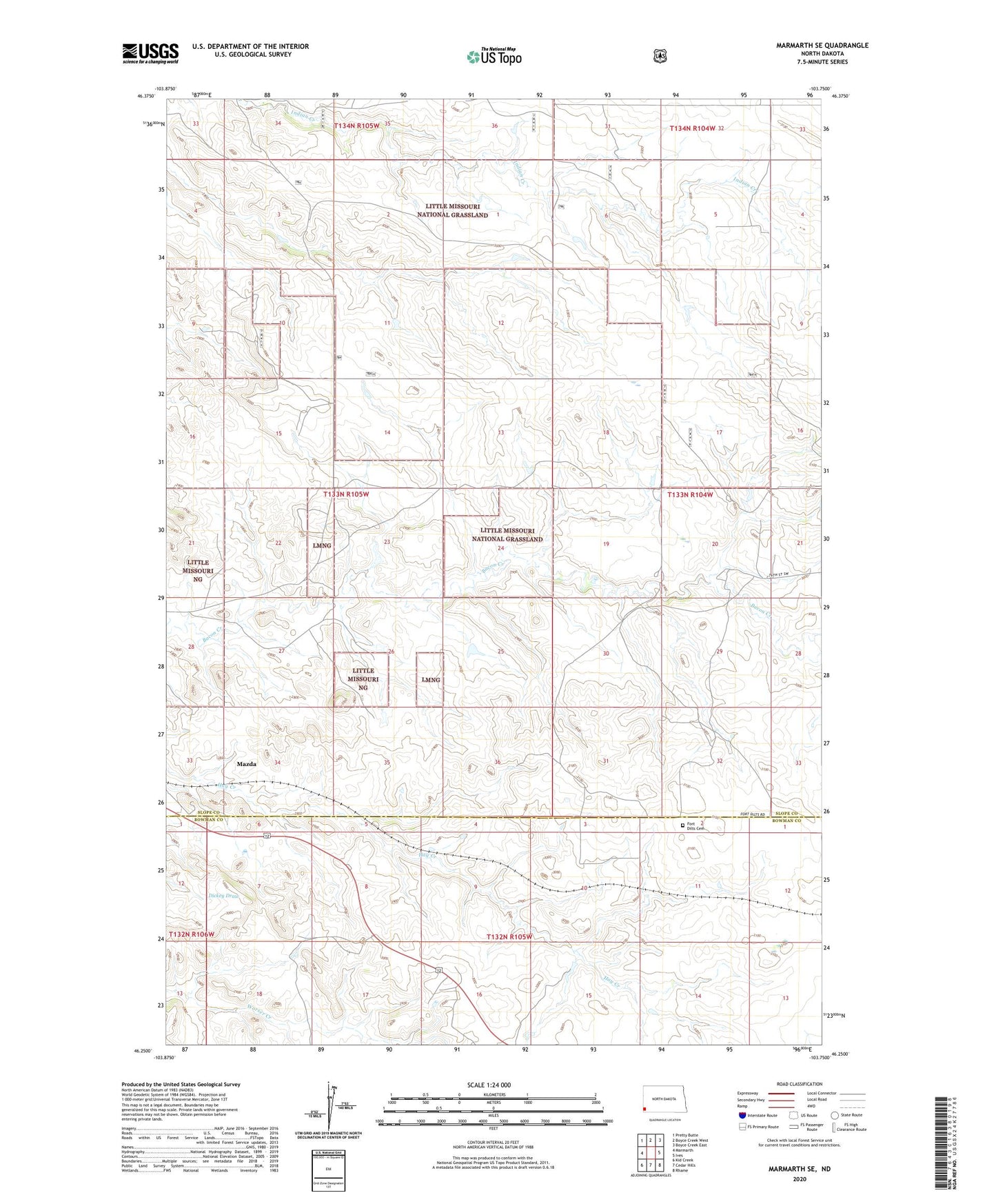
2024 topographic map quadrangle Marmarth SE in the state of North Dakota. Scale: 1:24000. Based on the newly updated USGS 7.5' US Topo map series, this map is in the following counties: Slope, Bowman. The map contains contour data, water features, and other items you are used to seeing on USGS maps, but also has updated roads and other features. This is the next generation of topographic maps. Printed on high-quality waterproof paper with UV fade-resistant inks.
Quads adjacent to this one:
West: Marmarth
Northwest: Pretty Butte
North: Boyce Creek West
Northeast: Boyce Creek East
East: Ives
Southeast: Rhame
South: Cedar Hills
Southwest: Kid Creek
This map covers the same area as the classic USGS quad with code o46103c7.
Contains the following named places: Fort Dilts Cemetery, Fort Dilts Historic Site, Mazda, Merz Ranch, Township of Hughes