MyTopo
Otter Creek North Dakota US Topo Map
Couldn't load pickup availability
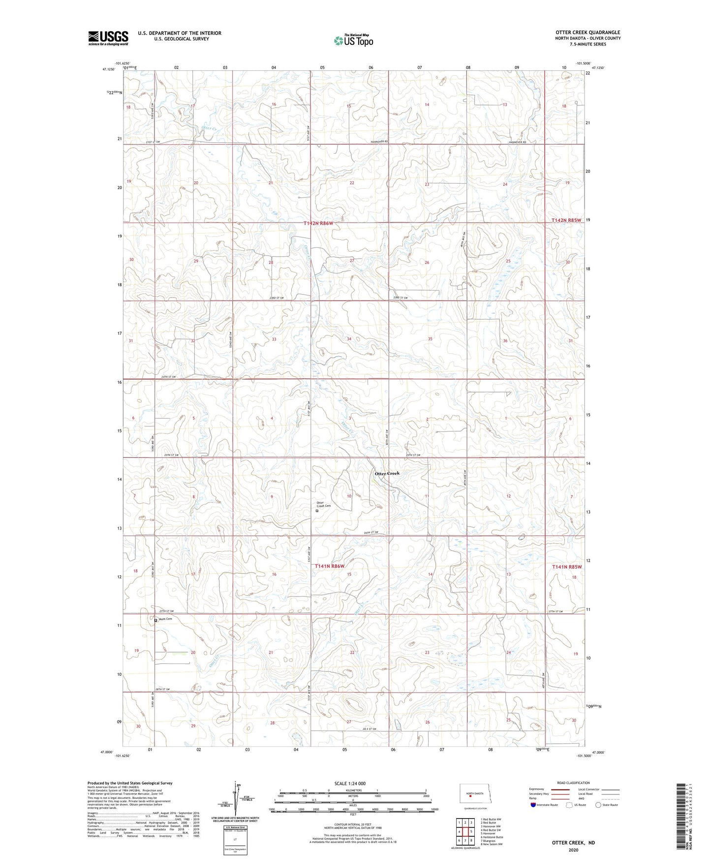
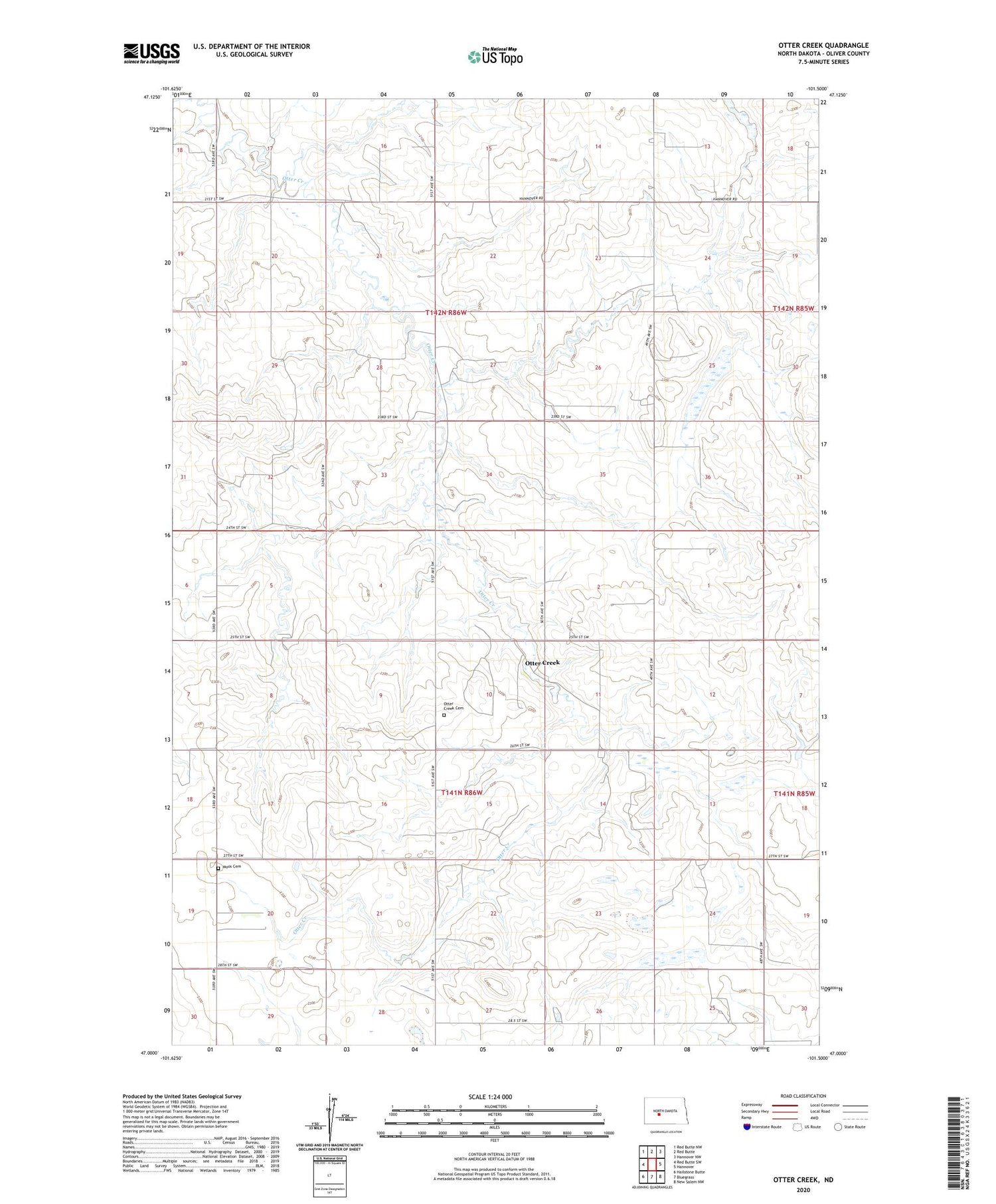
2020 topographic map quadrangle Otter Creek in the state of North Dakota. Scale: 1:24000. Based on the newly updated USGS 7.5' US Topo map series, this map is in the following counties: Oliver. The map contains contour data, water features, and other items you are used to seeing on USGS maps, but also has updated roads and other features. This is the next generation of topographic maps. Printed on high-quality waterproof paper with UV fade-resistant inks.
Quads adjacent to this one:
West: Red Butte SW
Northwest: Red Butte NW
North: Red Butte
Northeast: Hannover NW
East: Hannover
Southeast: New Salem NW
South: Bluegrass
Southwest: Hailstone Butte
Contains the following named places: Moos Cemetery, Otter Creek, Otter Creek Cemetery, Spring Brook School, Unorganized Territory of West Oliver, Weber School