MyTopo
Plaza North Dakota US Topo Map
Couldn't load pickup availability
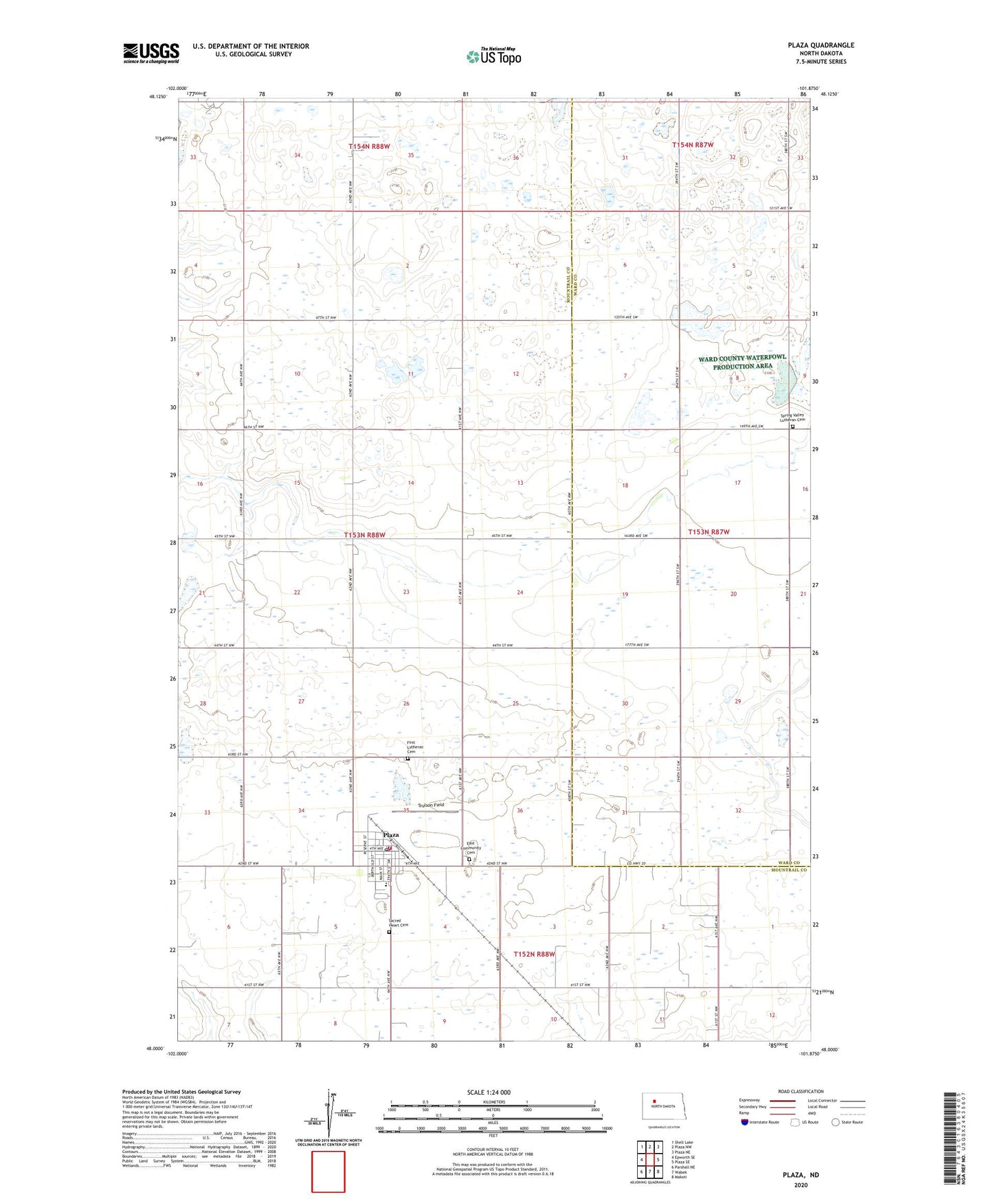
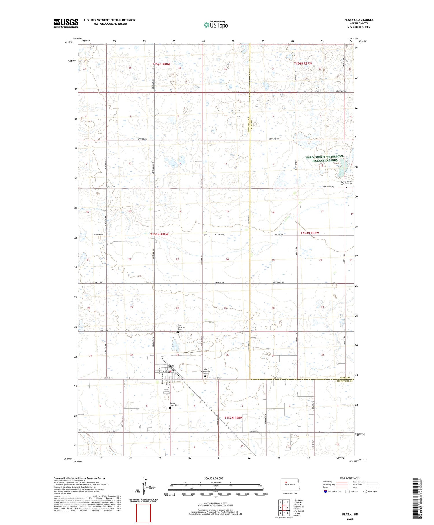
2020 topographic map quadrangle Plaza in the state of North Dakota. Scale: 1:24000. Based on the newly updated USGS 7.5' US Topo map series, this map is in the following counties: Mountrail, Ward. The map contains contour data, water features, and other items you are used to seeing on USGS maps, but also has updated roads and other features. This is the next generation of topographic maps. Printed on high-quality waterproof paper with UV fade-resistant inks.
Quads adjacent to this one:
West: Epworth SE
Northwest: Shell Lake
North: Plaza NW
Northeast: Plaza NE
East: Plaza SE
Southeast: Makoti
South: Wabek
Southwest: Parshall NE
Contains the following named places: City of Plaza, East Community Cemetery, First Lutheran Cemetery, Plaza, Plaza Ambulance Service, Plaza Community Museum, Plaza Elementary School, Plaza Fire Department, Plaza Post Office, Sacred Heart Cemetery, Spring Valley Lutheran Cemetery, Township of Spring Coulee, Trulson Field, ZIP Code: 58771