MyTopo
Makoti North Dakota US Topo Map
Couldn't load pickup availability
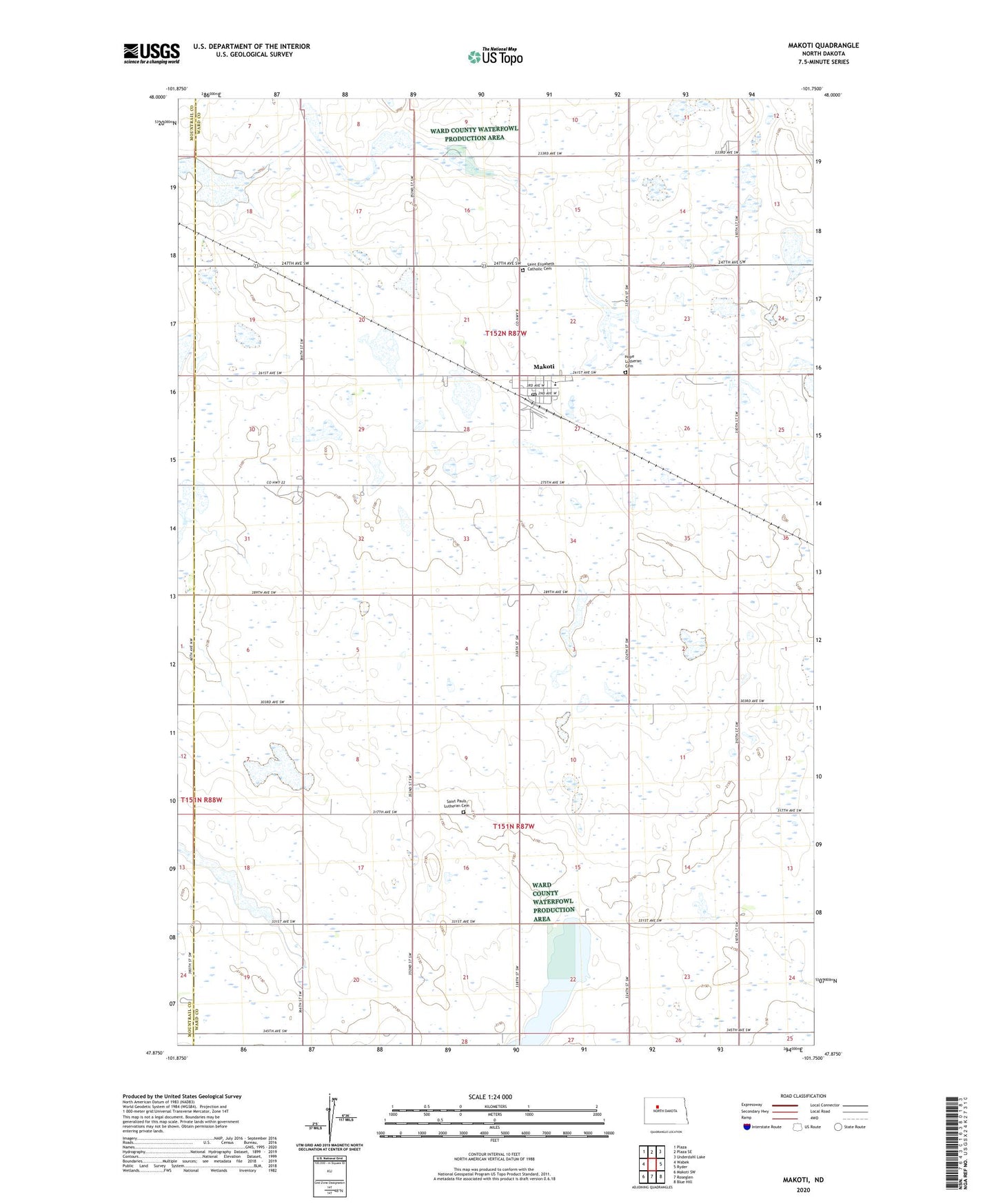
2024 topographic map quadrangle Makoti in the state of North Dakota. Scale: 1:24000. Based on the newly updated USGS 7.5' US Topo map series, this map is in the following counties: Ward, Mountrail. The map contains contour data, water features, and other items you are used to seeing on USGS maps, but also has updated roads and other features. This is the next generation of topographic maps. Printed on high-quality waterproof paper with UV fade-resistant inks.
Quads adjacent to this one:
West: Wabek
Northwest: Plaza
North: Plaza SE
Northeast: Underdahl Lake
East: Ryder
Southeast: Blue Hill
South: Roseglen
Southwest: Makoti SW
This map covers the same area as the classic USGS quad with code o47101h7.
Contains the following named places: City of Makoti, Hope Lutheran Cemetery, Makoti, Makoti Municipal Airport, Makoti Post Office, Makoti Threshers Museum, North Shore High School, Saint Elizabeth Catholic Cemetery, Saint Pauls Lutheran Cemetery, Township of Hiddenwood, Township of Orlien, ZIP Code: 58756