MyTopo
Rice Lake North Dakota US Topo Map
Couldn't load pickup availability
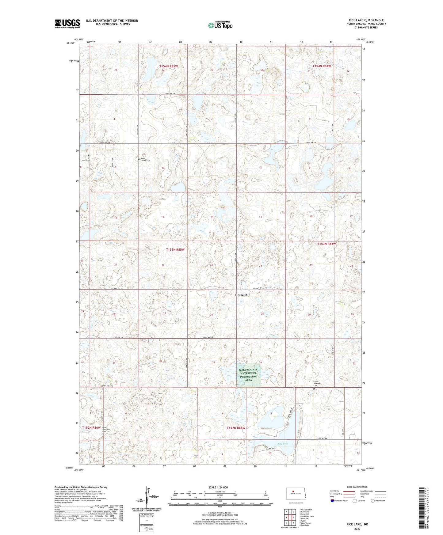
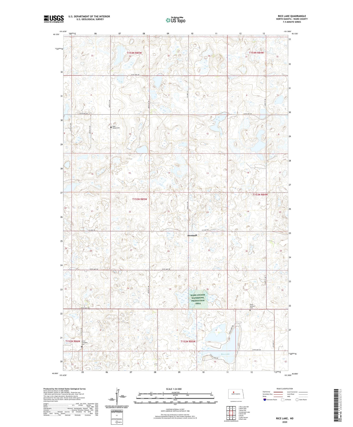
2020 topographic map quadrangle Rice Lake in the state of North Dakota. Scale: 1:24000. Based on the newly updated USGS 7.5' US Topo map series, this map is in the following counties: Ward. The map contains contour data, water features, and other items you are used to seeing on USGS maps, but also has updated roads and other features. This is the next generation of topographic maps. Printed on high-quality waterproof paper with UV fade-resistant inks.
Quads adjacent to this one:
West: Underdahl Lake
Northwest: Rice Lake NW
North: Mork Lake
Northeast: Minot NW
East: Minot SW
Southeast: Rush Lake
South: Lake Vernon
Southwest: Ryder
Contains the following named places: Anna Township Cemetery, Early Settlers Cemetery, Hesnault, Mellam Lake, Rice Lake, Rose Valley Cemetery, Township of Vang