MyTopo
Rush Lake North Dakota US Topo Map
Couldn't load pickup availability
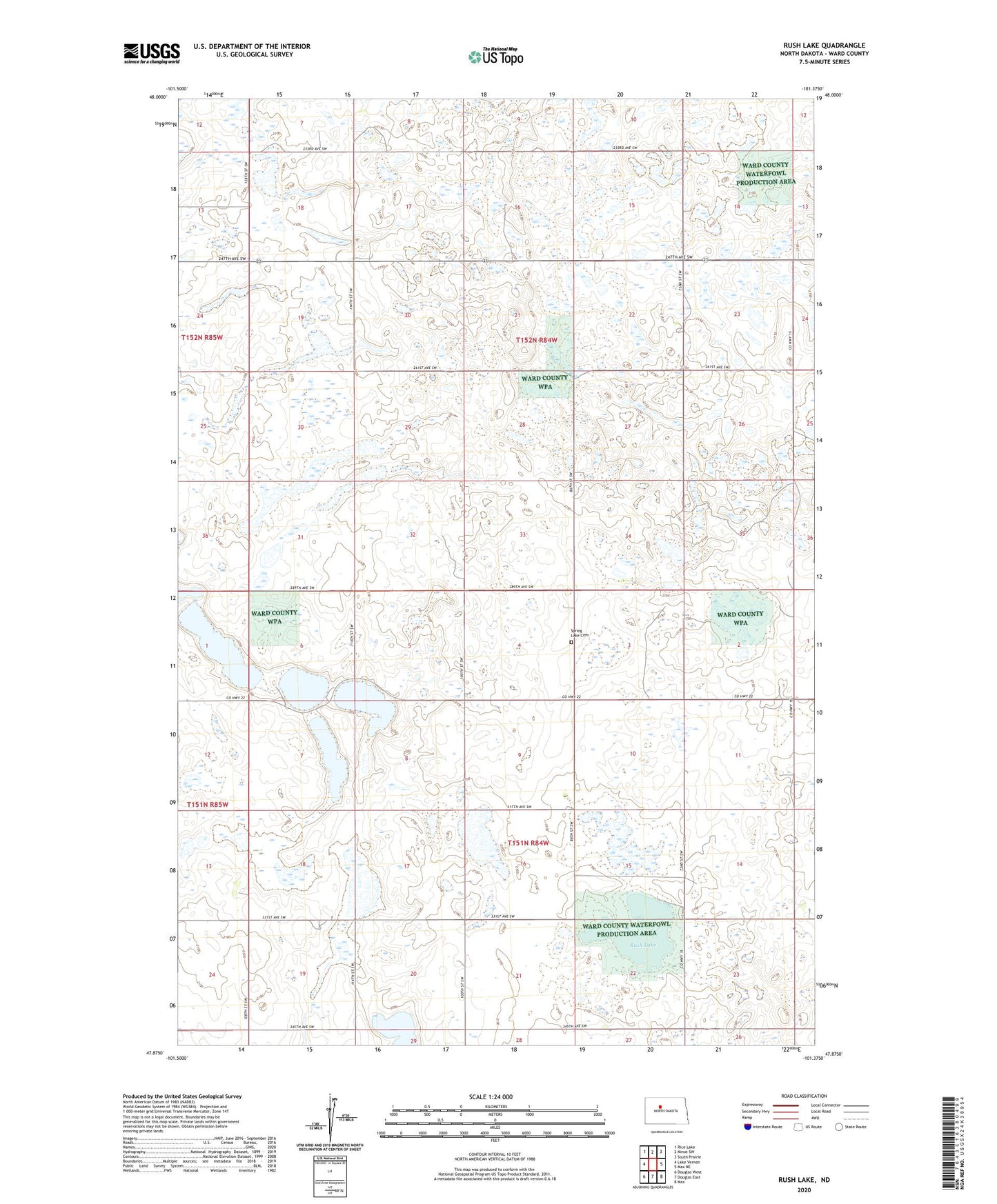
2024 topographic map quadrangle Rush Lake in the state of North Dakota. Scale: 1:24000. Based on the newly updated USGS 7.5' US Topo map series, this map is in the following counties: Ward. The map contains contour data, water features, and other items you are used to seeing on USGS maps, but also has updated roads and other features. This is the next generation of topographic maps. Printed on high-quality waterproof paper with UV fade-resistant inks.
Quads adjacent to this one:
West: Lake Vernon
Northwest: Rice Lake
North: Minot SW
Northeast: South Prairie
East: Max NE
Southeast: Max
South: Douglas East
Southwest: Douglas West
This map covers the same area as the classic USGS quad with code o47101h4.
Contains the following named places: National Waterfowl Production Areas, Nelson and Carlson Lakes, Rush Lake, Spring Lake Cemetery, Spring Lake Church, Township of Hilton, Township of Spring Lake