MyTopo
Schell Buttes North Dakota US Topo Map
Couldn't load pickup availability
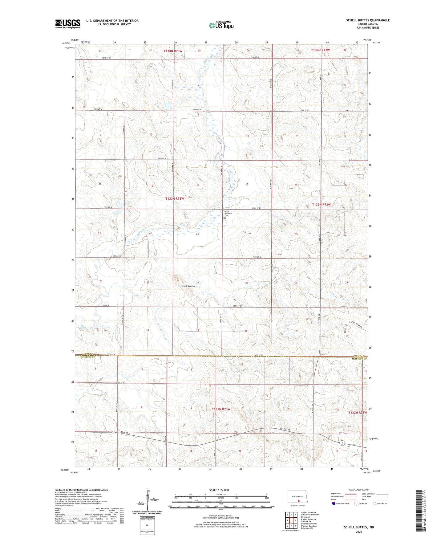
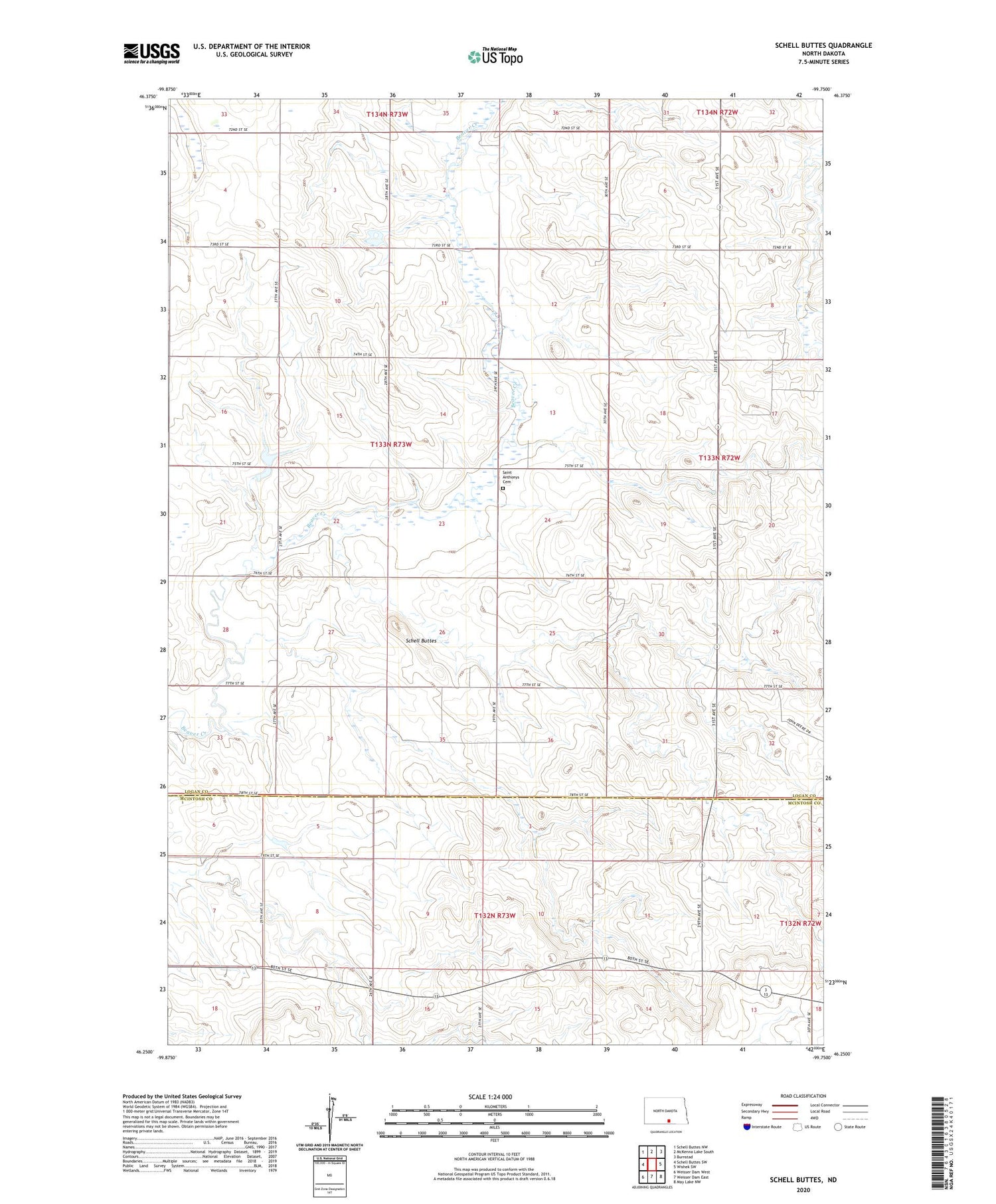
2020 topographic map quadrangle Schell Buttes in the state of North Dakota. Scale: 1:24000. Based on the newly updated USGS 7.5' US Topo map series, this map is in the following counties: Logan, McIntosh. The map contains contour data, water features, and other items you are used to seeing on USGS maps, but also has updated roads and other features. This is the next generation of topographic maps. Printed on high-quality waterproof paper with UV fade-resistant inks.
Quads adjacent to this one:
West: Schell Buttes SW
Northwest: Schell Buttes NW
North: McKenna Lake South
Northeast: Burnstad
East: Wishek SW
Southeast: May Lake NW
South: Weisser Dam East
Southwest: Weisser Dam West
Contains the following named places: Markus Wold Dam, Park Wilkey Dam, Saint Anthonys Cemetery, Schell Buttes