MyTopo
Kipton Ohio US Topo Map
Couldn't load pickup availability
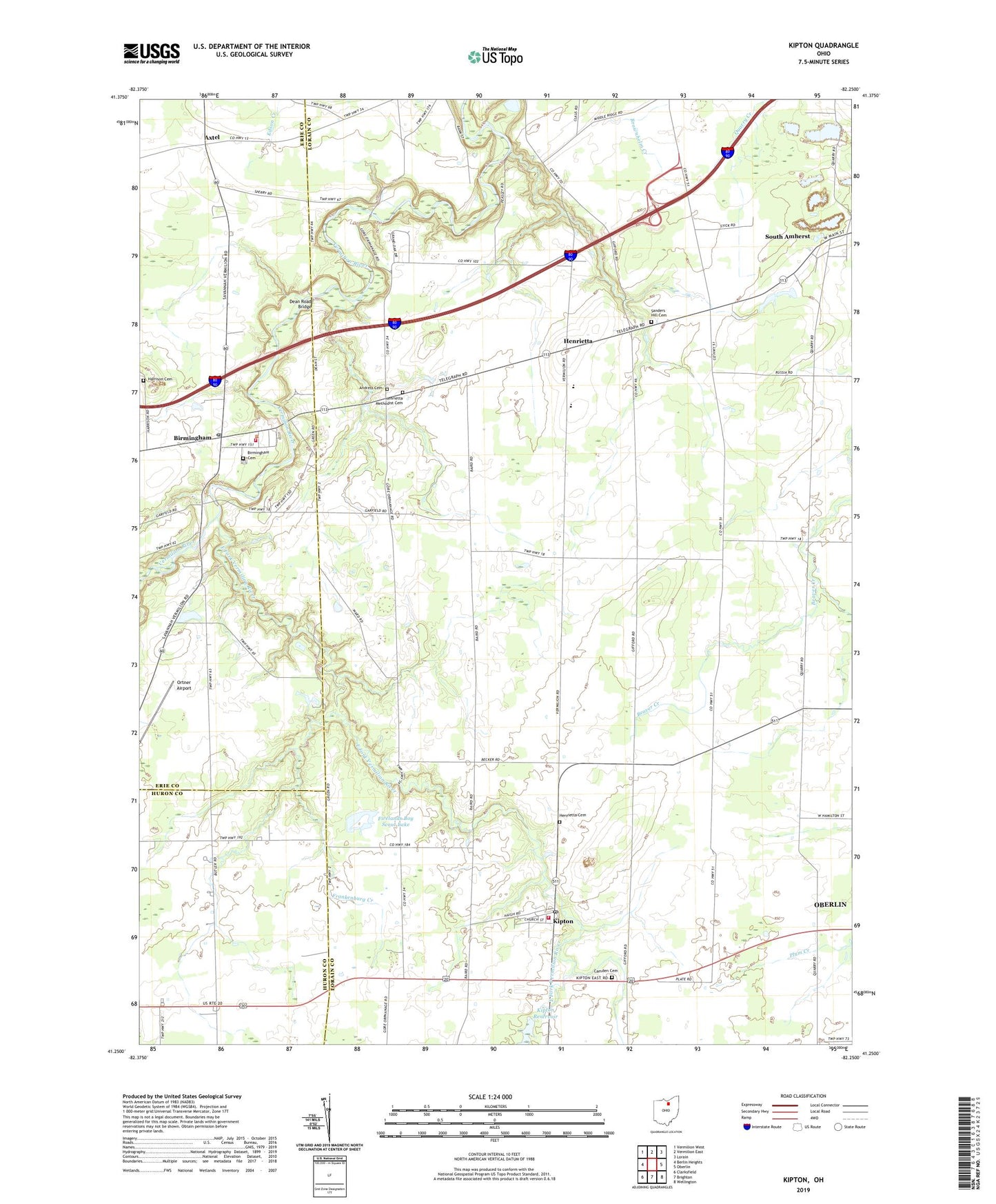
2019 topographic map quadrangle Kipton in the state of Ohio. Scale: 1:24000. Based on the newly updated USGS 7.5' US Topo map series, this map is in the following counties: Lorain, Erie, Huron. The map contains contour data, water features, and other items you are used to seeing on USGS maps, but also has updated roads and other features. This is the next generation of topographic maps. Printed on high-quality waterproof paper with UV fade-resistant inks.
Quads adjacent to this one:
West: Berlin Heights
Northwest: Vermilion West
North: Vermilion East
Northeast: Lorain
East: Oberlin
Southeast: Wellington
South: Brighton
Southwest: Clarksfield
Contains the following named places: Andress Cemetery, Axtel, Axtel Post Office, Birmingham, Birmingham Cemetery, Birmingham Census Designated Place, Birmingham Methodist Church, Birmingham Post Office, Camden Cemetery, Camden Township Fire Department, Camp Timberline, Dean Road Bridge, East Fork Vermilion River, Firelands Boy Scout Lake, Firelands Boy Scout Lake Dam, Firelands Community Park, Firelands Elementary School, Firelands High School, Firelands Junior High School, Firelands Reservation, Florence Township Fire Department, Florence Township School, Frankenburg Creek, Harrison Cemetery, Henrietta, Henrietta Cemetery, Henrietta Church, Henrietta Methodist Cemetery, Henrietta Post Office, Henrietta United Church of Christ, Hillcrest Orchards, Kipton, Kipton Post Office, Kipton Quarry, McDowell Orchards, Miller Orchards, Oberlin Airport, Ortner Airport, Sanders Hill Cemetery, Schoepfle Arboretum, South Amherst, Township of Henrietta, Union Church, Village of Kipton, Wolf Run, ZIP Codes: 44001, 44049, 44816