MyTopo
Metzger Marsh Ohio US Topo Map
Couldn't load pickup availability
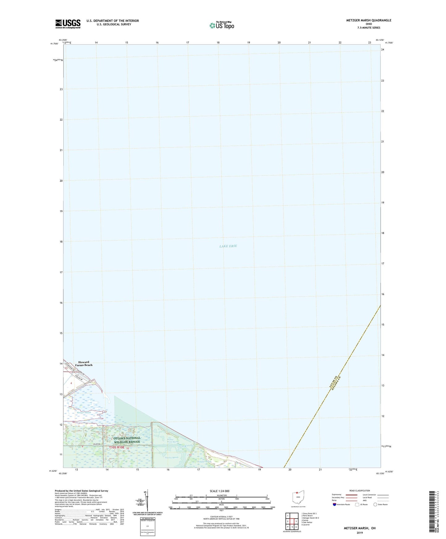
2019 topographic map quadrangle Metzger Marsh in the state of Ohio. Scale: 1:24000. Based on the newly updated USGS 7.5' US Topo map series, this map is in the following counties: Lucas, Ottawa. The map contains contour data, water features, and other items you are used to seeing on USGS maps, but also has updated roads and other features. This is the next generation of topographic maps. Printed on high-quality waterproof paper with UV fade-resistant inks.
Quads adjacent to this one:
West: Reno Beach
Northwest: Stony Point OE S
East: Metzger Marsh OE E
Southeast: Lacarne
South: Oak Harbor
Southwest: Genoa
Contains the following named places: Crane Creek, Douglas Marsh, Howard Farms Beach, Metzger Farms, Metzger Marsh, Metzger Marsh Wildlife Area, Ottawa National Wildlife Refuge, Pintail Farms, Pintail Marsh, Searles Marsh, Willow Club, Willow Point Marsh