MyTopo
Arnett SW Oklahoma US Topo Map
Couldn't load pickup availability
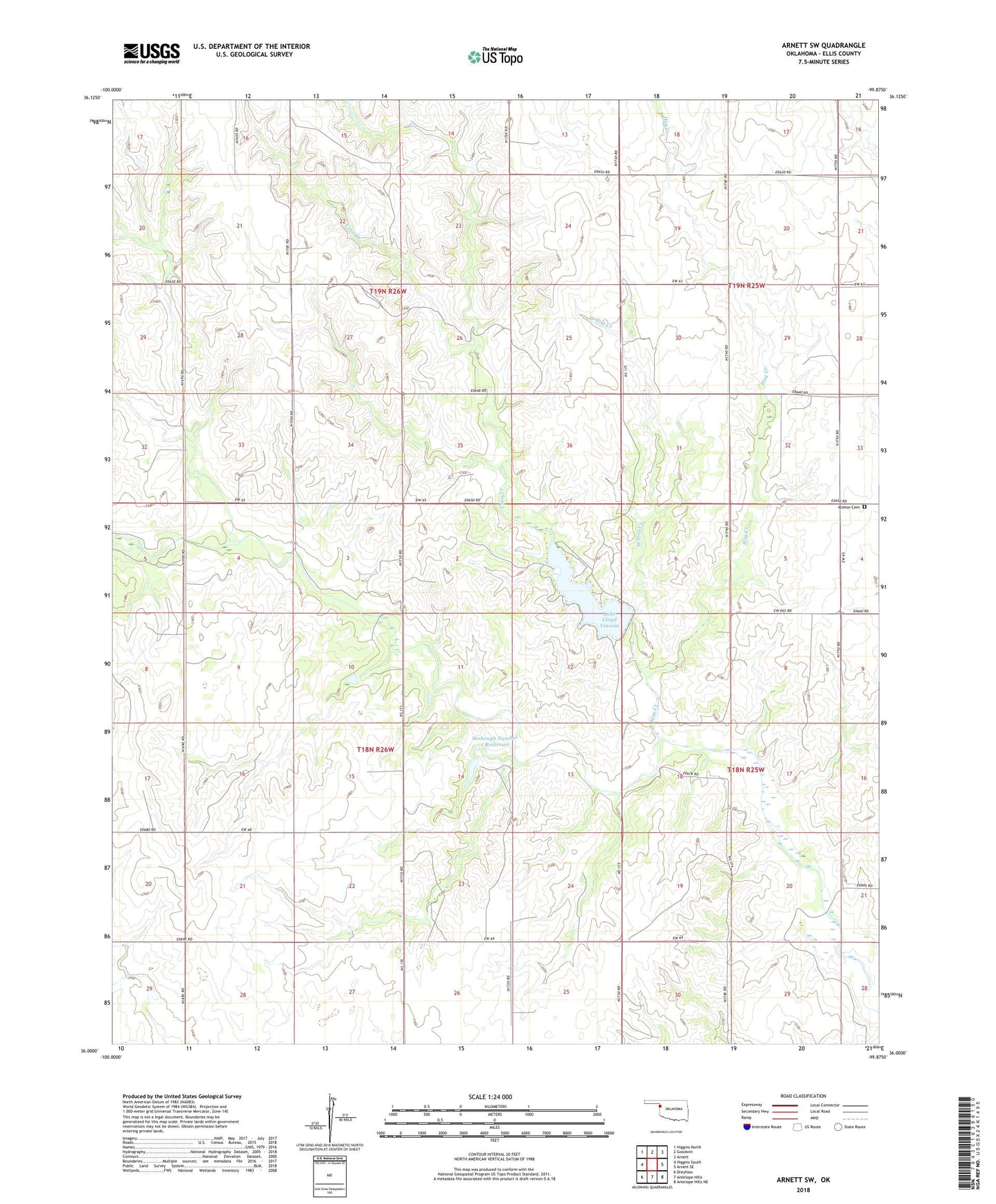
2018 topographic map quadrangle Arnett SW in the state of Oklahoma. Scale: 1:24000. Based on the newly updated USGS 7.5' US Topo map series, this map is in the following counties: Ellis. The map contains contour data, water features, and other items you are used to seeing on USGS maps, but also has updated roads and other features. This is the next generation of topographic maps. Printed on high-quality waterproof paper with UV fade-resistant inks.
Quads adjacent to this one:
West: Higgins South
Northwest: Higgins North
North: Goodwin
Northeast: Arnett
East: Arnett SE
Southeast: Antelope Hills NE
South: Antelope Hills
Southwest: Dreyfoos
Contains the following named places: Allmon Cemetery, Cheyenne and Arapahoe District 1, Coon Creek, Ellis County State Wildlife Management Area, Hog Creek, Lake Lloyd Vincent, Lake Lloyd Vincent Dam, Stobough Number 1 Dam, Stobough Number 1 Reservoir, Township of Hopewell, West Hog Creek