MyTopo
Boley Oklahoma US Topo Map
Couldn't load pickup availability
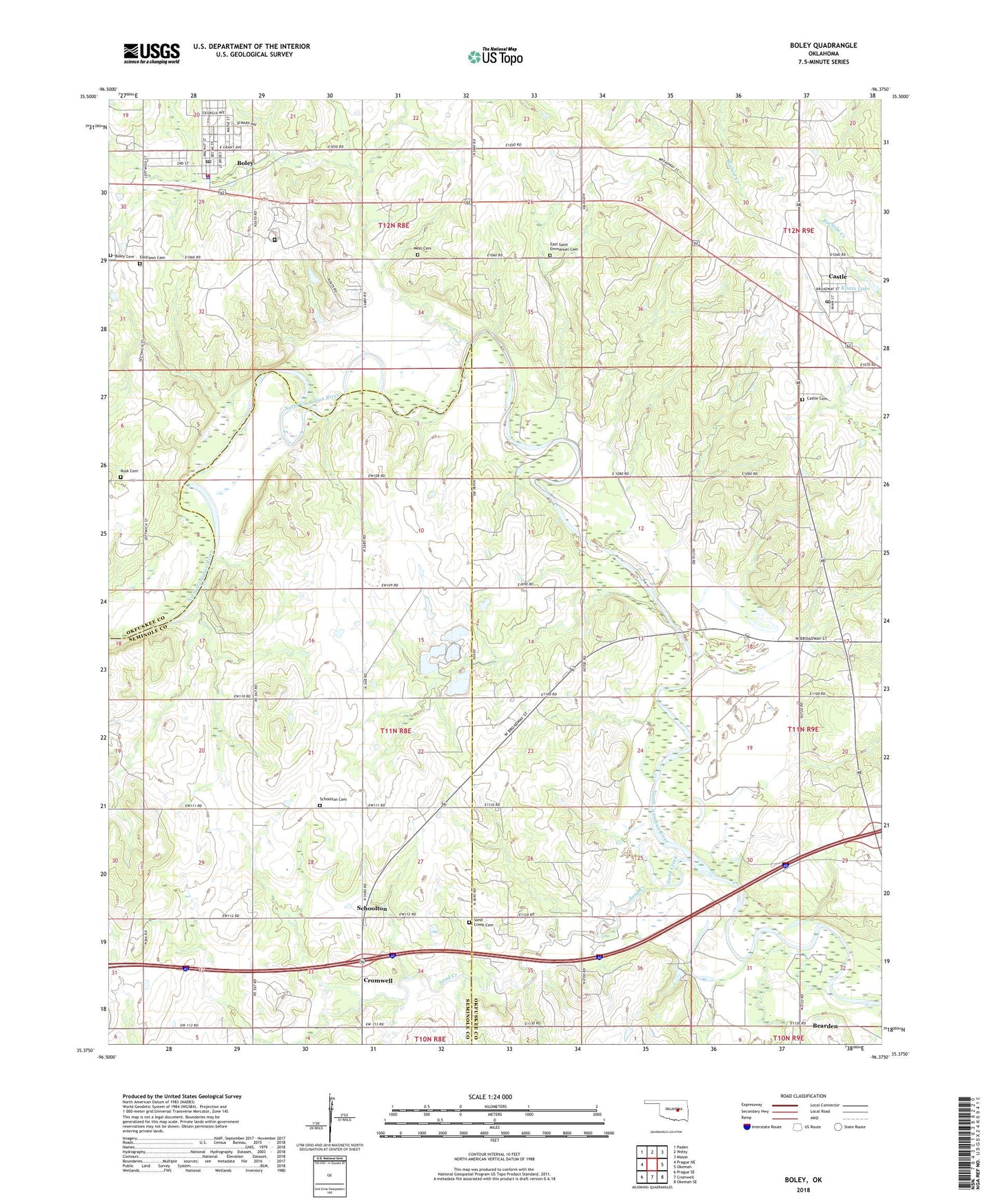
2018 topographic map quadrangle Boley in the state of Oklahoma. Scale: 1:24000. Based on the newly updated USGS 7.5' US Topo map series, this map is in the following counties: Okfuskee, Seminole. The map contains contour data, water features, and other items you are used to seeing on USGS maps, but also has updated roads and other features. This is the next generation of topographic maps. Printed on high-quality waterproof paper with UV fade-resistant inks.
Quads adjacent to this one:
West: Prague NE
Northwest: Paden
North: Welty
Northeast: Mason
East: Okemah
Southeast: Okemah SE
South: Cromwell
Southwest: Prague SE
Contains the following named places: Arbeka Church, Arbeka Junior Church, Boley, Boley Cemetery, Boley Elementary School, Boley Fire Department, Boley High School, Boley Historic District, Boley Post Office, Boley School for Boys, Castle, Castle Cemetery, Castle Oil Field, Castle Post Office, Dill Oil Field, East Boley Oil Field, East Cromwell Oil Field, East Saint Emmanuel Church Cemetery, Eastlawn Cemetery, John H Lilley Correctional Center, Klutts Lake, Klutts Lake Dam, Northwest Bearden Oil Field, Oknoname 107003 Dam, Oknoname 107003 Reservoir, Oknoname 107004 Dam, Oknoname 107004 Reservoir, Oknoname 107006 Dam, Oknoname 107006 Reservoir, Pigeon Roost Church, Prairie Dell School, Rusk Cemetery, Saint Emmanuel Baptist Church, Sand Creek, Sand Creek Cemetery, Sand Creek School, Schoolton, Schoolton Cemetery, Schoolton Chapel, Southwest Castle Oil Field, Town of Boley, Town of Castle, West Cemetery