MyTopo
Stafford Oklahoma US Topo Map
Couldn't load pickup availability
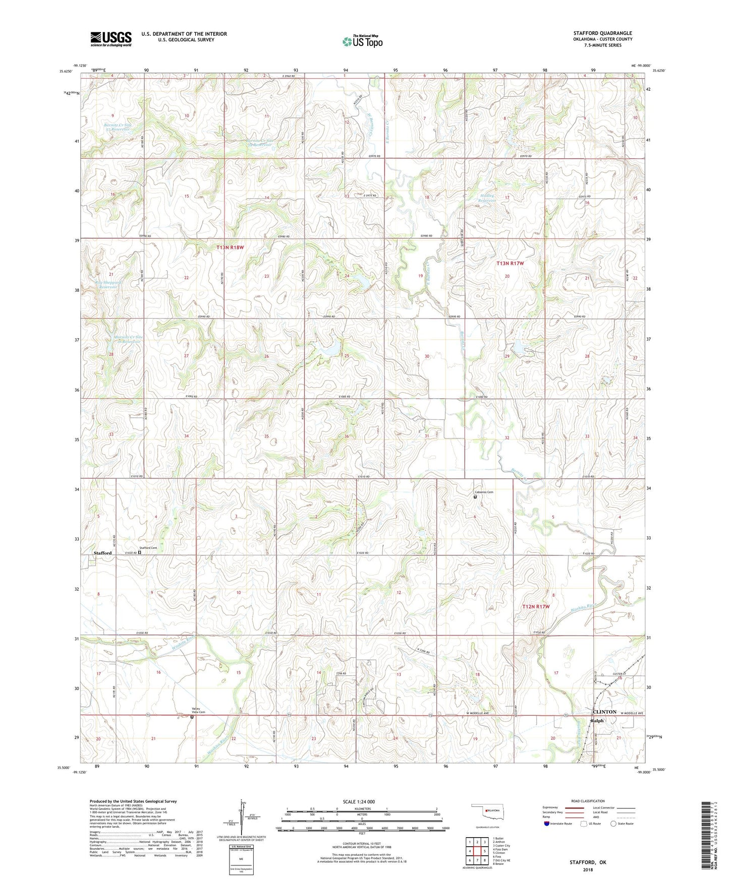
2018 topographic map quadrangle Stafford in the state of Oklahoma. Scale: 1:24000. Based on the newly updated USGS 7.5' US Topo map series, this map is in the following counties: Custer. The map contains contour data, water features, and other items you are used to seeing on USGS maps, but also has updated roads and other features. This is the next generation of topographic maps. Printed on high-quality waterproof paper with UV fade-resistant inks.
Quads adjacent to this one:
West: Foss Dam
Northwest: Butler
North: Anthon
Northeast: Custer City
East: Clinton
Southeast: Bessie
South: Dill City NE
Southwest: Foss
Contains the following named places: Barnitz Creek, Barnitz Creek Site 57 Dam, Barnitz Creek Site 57 Reservoir, Barnitz Creek Site 58 Dam, Barnitz Creek Site 58 Reservoir, Barnitz Creek Site 59 Dam, Barnitz Creek Site 59 Reservoir, Barnitz Creek Site 61 Dam, Barnitz Creek Site 61 Reservoir, Barnitz Creek Site 62 Dam, Barnitz Creek Site 62 Reservoir, Barnitz Creek Site 63 Dam, Barnitz Creek Site 63 Reservoir, Barnitz Creek Site 64 Dam, Barnitz Creek Site 64 Reservoir, Barnitz Creek Site 66 Dam, Barnitz Creek Site 66 Reservoir, Barnitz Creek Site 67 Dam, Barnitz Creek Site 67 Reservoir, Barnitz Creek Site L73 Dam, Barnitz Creek Site L73 Reservoir, Butler Laterals Site 8 Dam, Butler Laterals Site 8 Reservoir, Cabaniss Cemetery, Clinton Division, Donley Dam, East Barnitz Creek, Hadley Dam, Hadley Reservoir, Oknoname 039002 Dam, Oknoname 039002 Reservoir, Ralph, Roy Sheppard Dam, Roy Sheppard Reservoir, Schumacher Field, Stafford, Stafford Cemetery, Sunnyside Community Hall, Valley View Cemetery, West Barnitz Creek, ZIP Code: 73620