MyTopo
Alkali Lake Oregon US Topo Map
Couldn't load pickup availability
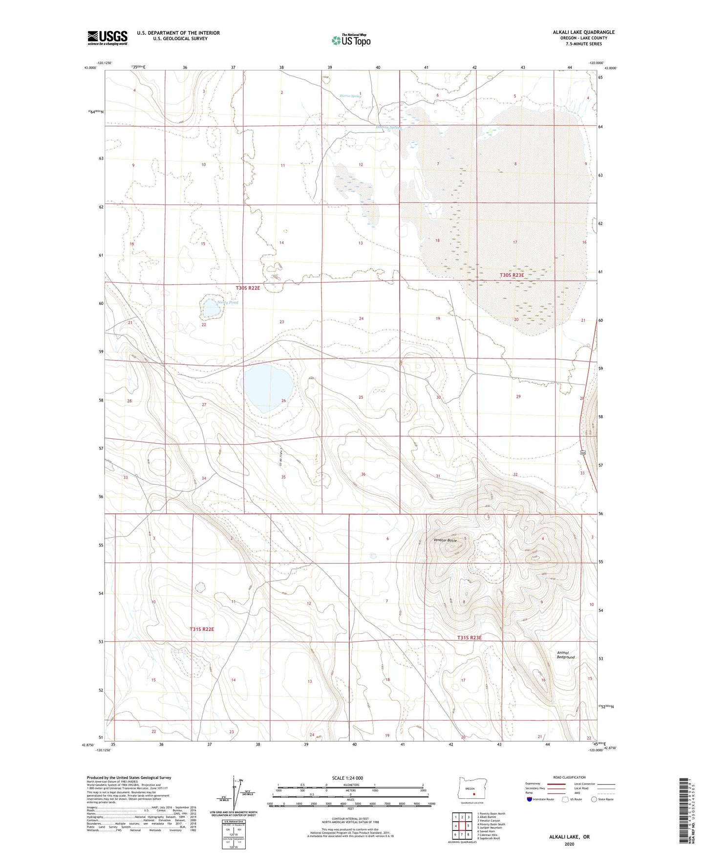
2020 topographic map quadrangle Alkali Lake in the state of Oregon. Scale: 1:24000. Based on the newly updated USGS 7.5' US Topo map series, this map is in the following counties: Lake. The map contains contour data, water features, and other items you are used to seeing on USGS maps, but also has updated roads and other features. This is the next generation of topographic maps. Printed on high-quality waterproof paper with UV fade-resistant inks.
Quads adjacent to this one:
West: Poverty Basin South
Northwest: Poverty Basin North
North: Alkali Buttes
Northeast: Venator Canyon
East: Juniper Mountain
Southeast: Sagebrush Knoll
South: Coleman Hills
Southwest: Sawed Horn
Contains the following named places: Alkali Lake, Animal Bedground, Horror Spring, Hutton Spring, Nasty Pond, Poor Jug Well, Soda Mine, Two by Four Well, Venator Butte