MyTopo
Coleman Lake Oregon US Topo Map
Couldn't load pickup availability
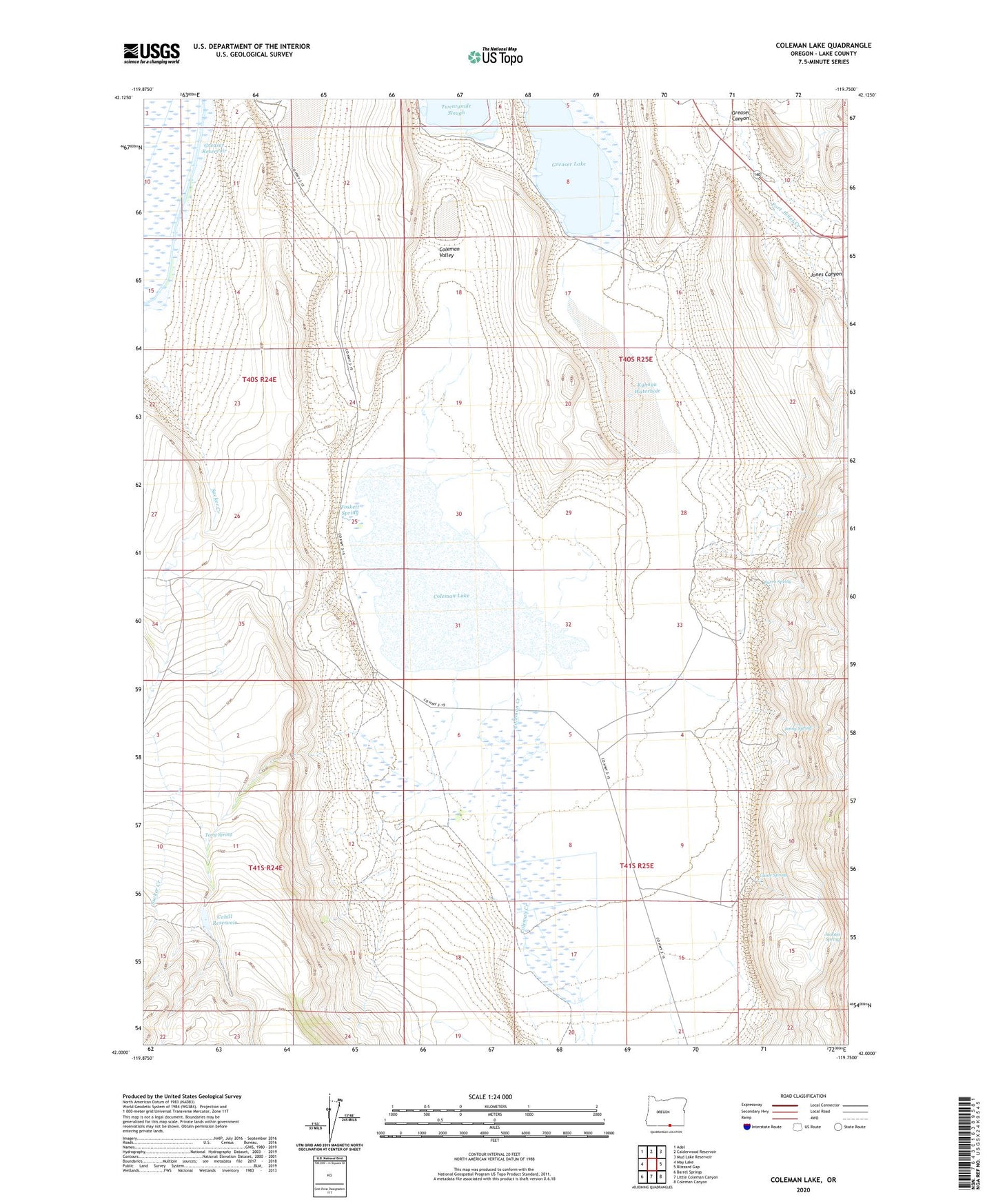
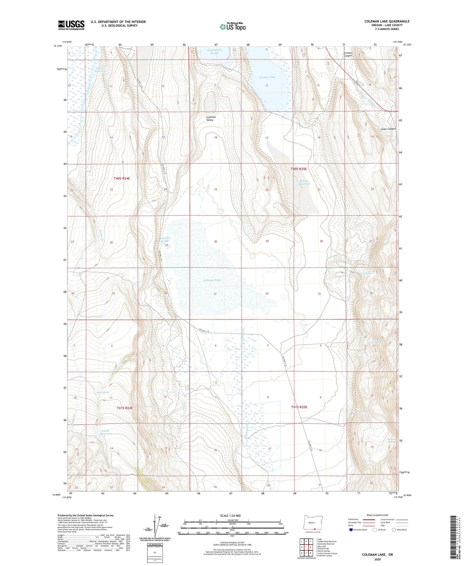
2020 topographic map quadrangle Coleman Lake in the state of Oregon. Scale: 1:24000. Based on the newly updated USGS 7.5' US Topo map series, this map is in the following counties: Lake. The map contains contour data, water features, and other items you are used to seeing on USGS maps, but also has updated roads and other features. This is the next generation of topographic maps. Printed on high-quality waterproof paper with UV fade-resistant inks.
Quads adjacent to this one:
West: May Lake
Northwest: Adel
North: Calderwood Reservoir
Northeast: Mud Lake Reservoir
East: Blizzard Gap
Southeast: Coleman Canyon
South: Little Coleman Canyon
Southwest: Barrel Springs
Contains the following named places: Burro Spring, Cahill Reservoir, Coleman Creek, Coleman Lake, Coleman Valley, Fort Jones Creek, Foskett Spring, Game Spring, Greaser Canyon, Greaser Lake, Hallinan Dam, Jackass Spring, Jenny Spring, Jones Canyon, Kyhoya Waterhole, Soda Lake, Spanish Lake, Sucker Creek, Terry Spring