MyTopo
Dickerson Flat Oregon US Topo Map
Couldn't load pickup availability
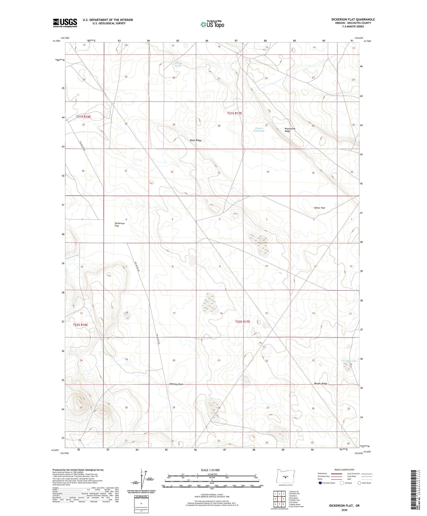
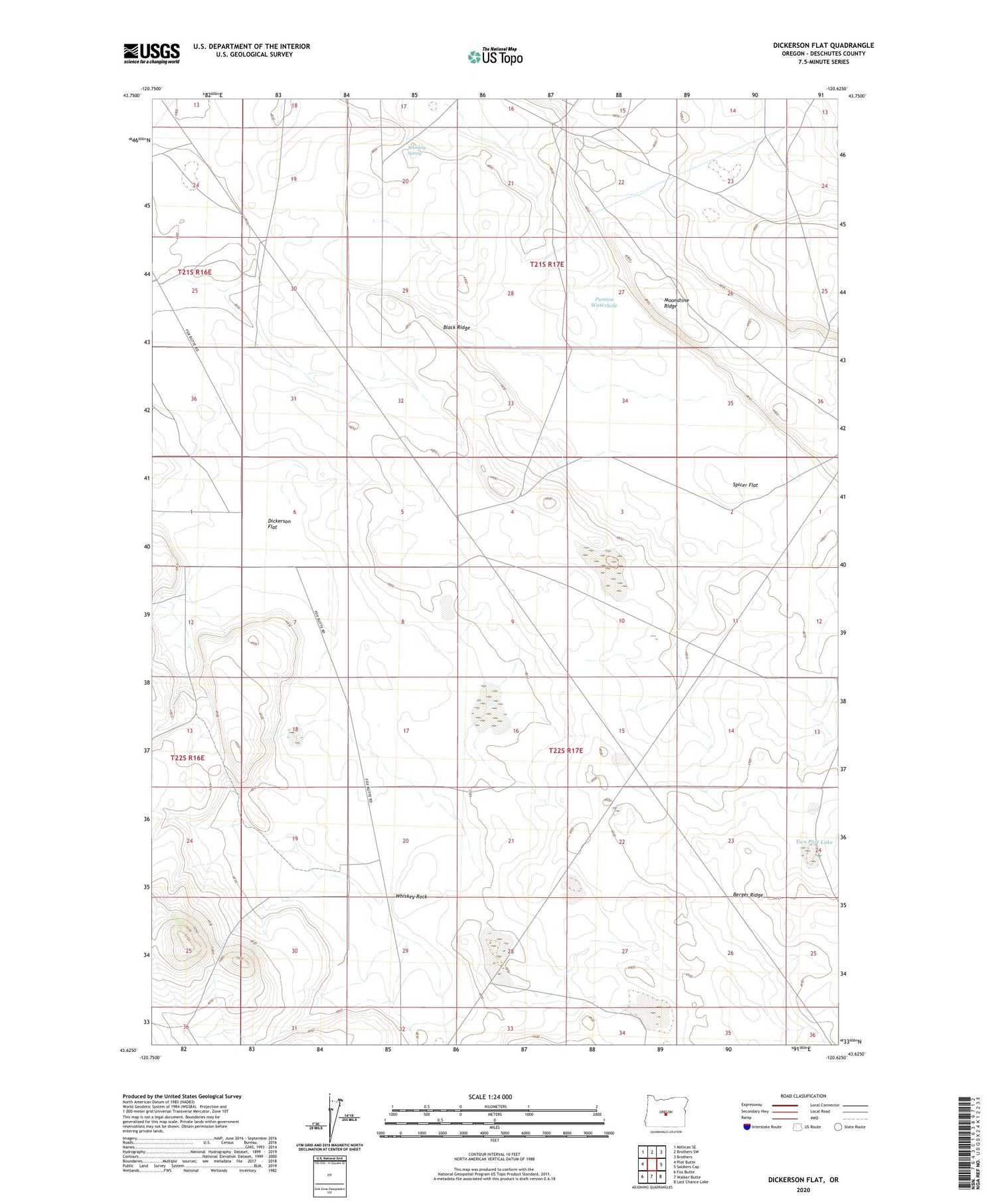
2020 topographic map quadrangle Dickerson Flat in the state of Oregon. Scale: 1:24000. Based on the newly updated USGS 7.5' US Topo map series, this map is in the following counties: Deschutes. The map contains contour data, water features, and other items you are used to seeing on USGS maps, but also has updated roads and other features. This is the next generation of topographic maps. Printed on high-quality waterproof paper with UV fade-resistant inks.
Quads adjacent to this one:
West: Plot Butte
Northwest: Millican SE
North: Brothers SW
Northeast: Brothers
East: Soldiers Cap
Southeast: Last Chance Lake
South: Walker Butte
Southwest: Fox Butte
Contains the following named places: Berger Ridge, Black Ridge, Dickerson Flat, Dickerson Well, Moonshine Ridge, Pumice Waterhole, Spicer Flat, Two Post Lake, Whiskey Rock, Whiskey Spring