MyTopo
Erskine Oregon US Topo Map
Couldn't load pickup availability
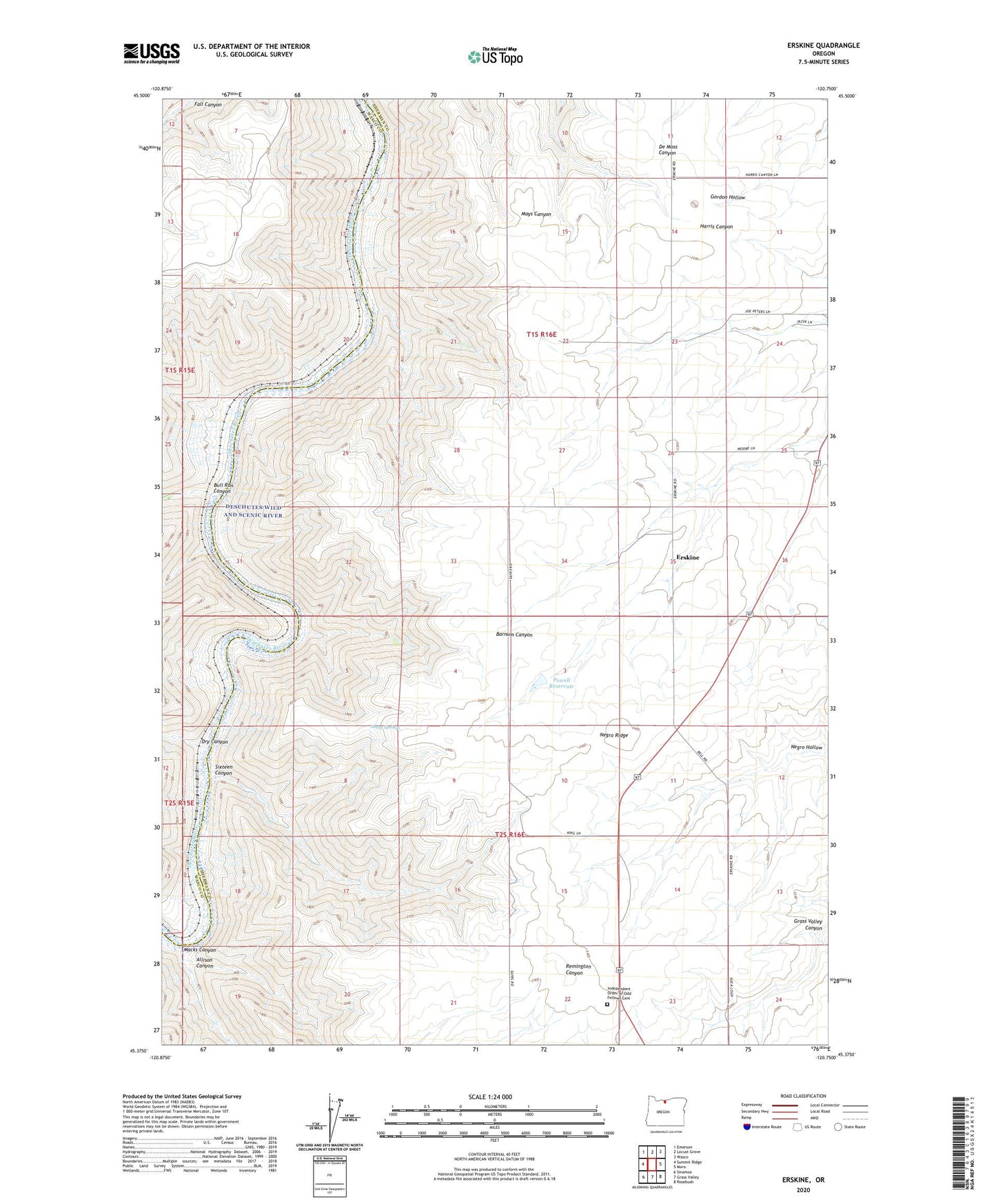
2020 topographic map quadrangle Erskine in the state of Oregon. Scale: 1:24000. Based on the newly updated USGS 7.5' US Topo map series, this map is in the following counties: Sherman, Wasco. The map contains contour data, water features, and other items you are used to seeing on USGS maps, but also has updated roads and other features. This is the next generation of topographic maps. Printed on high-quality waterproof paper with UV fade-resistant inks.
Quads adjacent to this one:
West: Summit Ridge
Northwest: Emerson
North: Locust Grove
Northeast: Wasco
East: Moro
Southeast: Rosebush
South: Grass Valley
Southwest: Sinamox
Contains the following named places: Allison Canyon, Bluffs, Bull Run Canyon, Dike, Dry Canyon, Erskine, Erskineville Post Office, Independent Order of Odd Fellows Cemetery, Lockit, Macks Canyon, Negro Hollow, Negro Ridge, Powell Reservoir, Sheep Springs, Sixteen Canyon