MyTopo
Summit Ridge Oregon US Topo Map
Couldn't load pickup availability
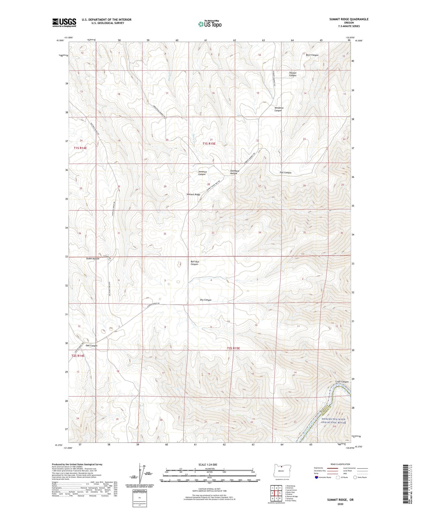
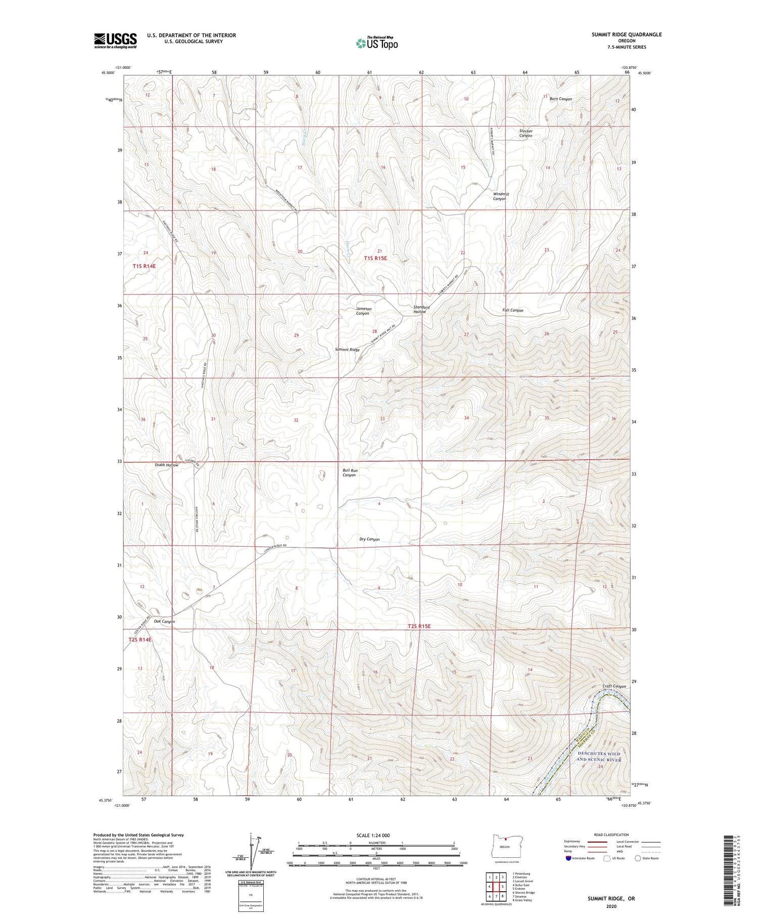
2020 topographic map quadrangle Summit Ridge in the state of Oregon. Scale: 1:24000. Based on the newly updated USGS 7.5' US Topo map series, this map is in the following counties: Wasco, Sherman. The map contains contour data, water features, and other items you are used to seeing on USGS maps, but also has updated roads and other features. This is the next generation of topographic maps. Printed on high-quality waterproof paper with UV fade-resistant inks.
Quads adjacent to this one:
West: Dufur East
Northwest: Petersburg
North: Emerson
Northeast: Locust Grove
East: Erskine
Southeast: Grass Valley
South: Sinamox
Southwest: Sherars Bridge
Contains the following named places: Center Ridge School, Craft Canyon, Ketchum, Macks Canyon Boat Launch, Summit Ridge