MyTopo
Petersburg Oregon US Topo Map
Couldn't load pickup availability
Also explore the Petersburg Forest Service Topo of this same quad for updated USFS data
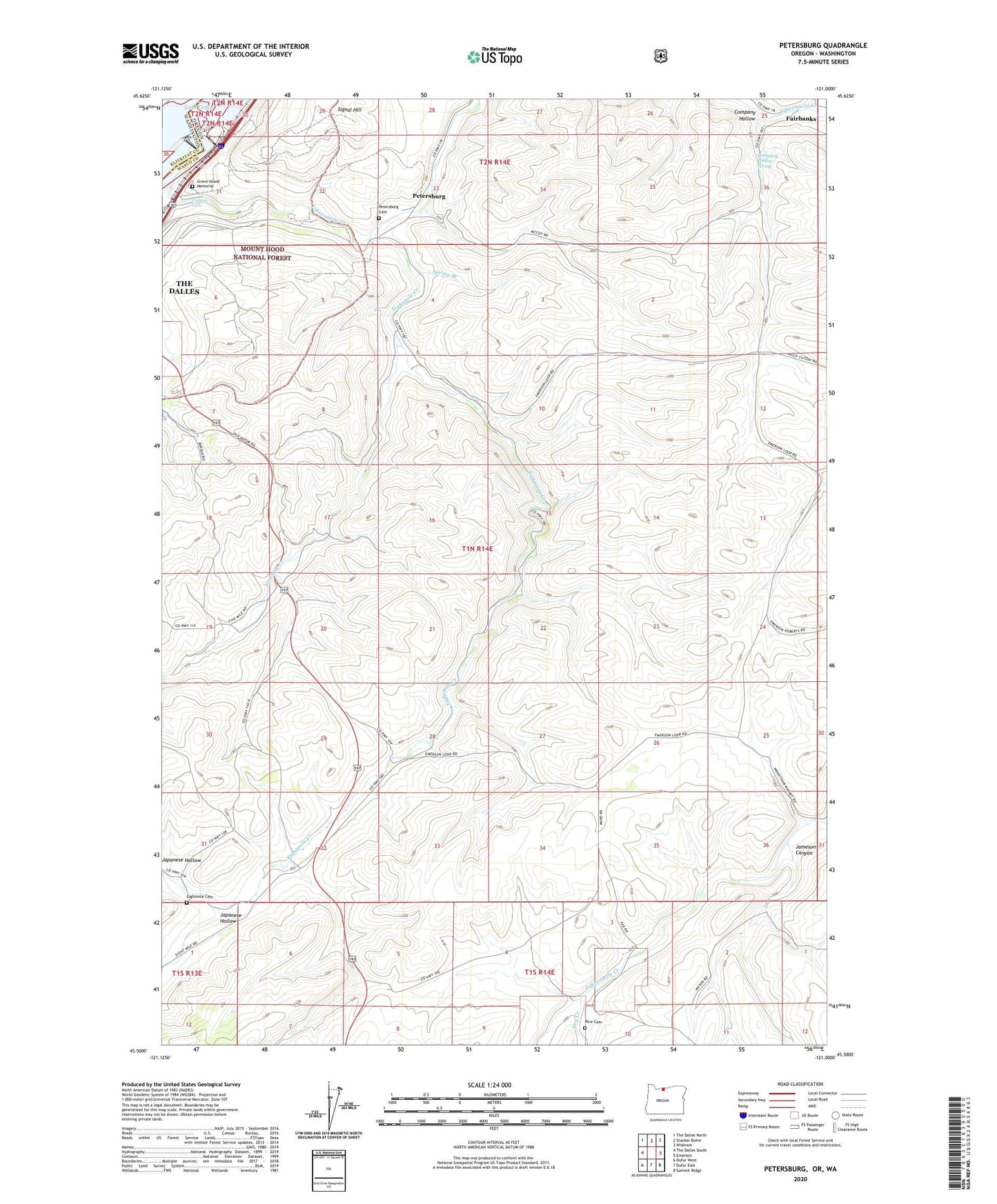
2023 topographic map quadrangle Petersburg in the states of Oregon, Washington. Scale: 1:24000. Based on the newly updated USGS 7.5' US Topo map series, this map is in the following counties: Wasco, Klickitat. The map contains contour data, water features, and other items you are used to seeing on USGS maps, but also has updated roads and other features. This is the next generation of topographic maps. Printed on high-quality waterproof paper with UV fade-resistant inks.
Quads adjacent to this one:
West: The Dalles South
Northwest: The Dalles North
North: Stacker Butte
Northeast: Wishram
East: Emerson
Southeast: Summit Ridge
South: Dufur East
Southwest: Dufur West
Contains the following named places: Big Eddy, Big Eddy Post Office, Big Eddy Substation, Celilo Converter Station, Company Hollow, Company Hollow Spring, Cushing Falls, Dry Creek, Eightmile Cemetery, Eightmile Creek, English, English Post Office, Fairbanks, Fairbanks Post Office, Fairfield School, Fifteenmile Creek, Fivemile Creek, Grave Island Memorial, Jameson Canyon, Japanese Hollow, Lower Eightmile School, Lower Fivemile School, McDonald Reservoir, Memaloose Island, Oregon Agricultural Experiment Station, Petersburg, Petersburg Cemetery, Rice, Rice Cemetery, Seufert, Seufert Dam, Signal Hill, Spring Branch