MyTopo
Trenholm Oregon US Topo Map
Couldn't load pickup availability
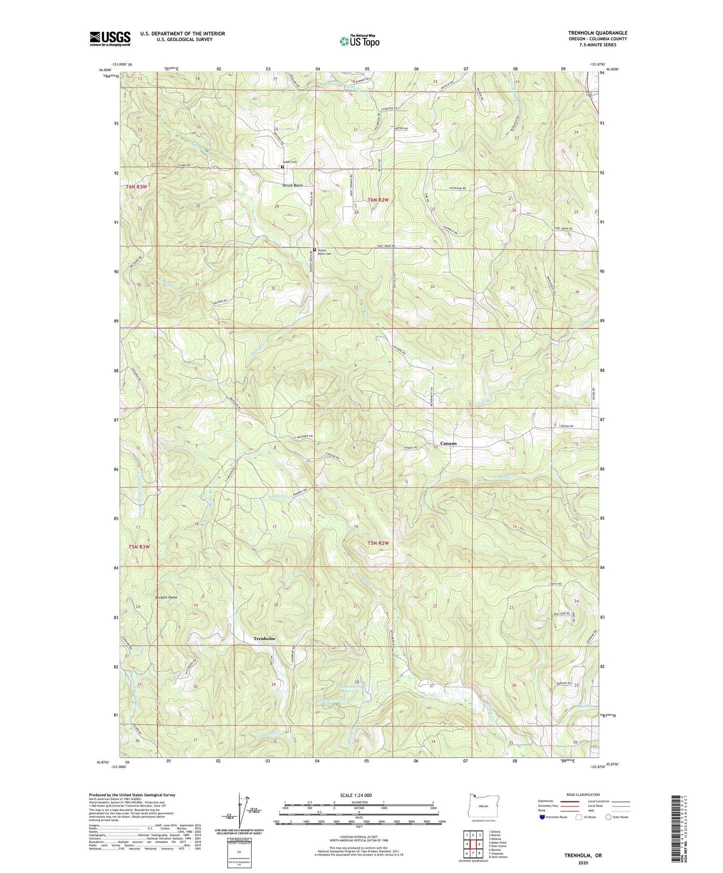
2020 topographic map quadrangle Trenholm in the state of Oregon. Scale: 1:24000. Based on the newly updated USGS 7.5' US Topo map series, this map is in the following counties: Columbia. The map contains contour data, water features, and other items you are used to seeing on USGS maps, but also has updated roads and other features. This is the next generation of topographic maps. Printed on high-quality waterproof paper with UV fade-resistant inks.
Quads adjacent to this one:
West: Baker Point
Northwest: Delena
North: Rainier
Northeast: Kalama
East: Deer Island
Southeast: Saint Helens
South: Chapman
Southwest: Bacona
Contains the following named places: Apilton Creek, Bishop Creek, Canaan, Canaan Community Church, Carico Post Office, Endicott Creek, Goble Cemetery, Goble Division, Meissner Lookout, Royal Oaks City Park, Salmonberry Creek, Salmonberry Reservoir, Serafin Point, Shiloh Basin, Shiloh Basin Cemetery, Shiloh Basin School, Smith Creek, Tidecreek Post Office, Trenholm, Trenholm Post Office, Valley Post Office, Wilark Guard Station, ZIP Codes: 97051, 97054